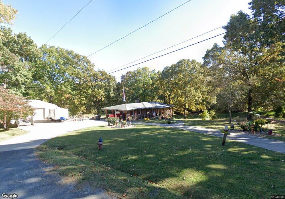
711 Darty St Kannapolis, NC 28081
Estimated Value: $271,000 - $317,099
Studio
2
Baths
1,552
Sq Ft
$191/Sq Ft
Est. Value
About This Home
This home is located at 711 Darty St, Kannapolis, NC 28081 and is currently estimated at $296,025, approximately $190 per square foot. 711 Darty St is a home located in Rowan County with nearby schools including Landis Elementary School, Corriher Lipe Middle School, and South Rowan High School.
Ownership History
Date
Name
Owned For
Owner Type
Purchase Details
Closed on
Jan 8, 2025
Sold by
Argo Residence Trust and Argo Kirk Lynn
Bought by
Argo Kirk Lynn
Current Estimated Value
Purchase Details
Closed on
May 20, 2024
Sold by
Argo Nancy L and Argo Donald E
Bought by
Argo Residence Trust and Argo
Create a Home Valuation Report for This Property
The Home Valuation Report is an in-depth analysis detailing your home's value as well as a comparison with similar homes in the area
Home Values in the Area
Average Home Value in this Area
Purchase History
| Date | Buyer | Sale Price | Title Company |
|---|---|---|---|
| Argo Kirk Lynn | -- | None Listed On Document | |
| Argo Kirk Lynn | -- | None Listed On Document | |
| Argo Residence Trust | -- | None Listed On Document | |
| Argo Residence Trust | -- | None Listed On Document |
Source: Public Records
Tax History
| Year | Tax Paid | Tax Assessment Tax Assessment Total Assessment is a certain percentage of the fair market value that is determined by local assessors to be the total taxable value of land and additions on the property. | Land | Improvement |
|---|---|---|---|---|
| 2025 | $3,223 | $266,342 | $97,288 | $169,054 |
| 2024 | $3,223 | $266,342 | $97,288 | $169,054 |
| 2023 | $3,223 | $266,342 | $97,288 | $169,054 |
| 2022 | $2,220 | $172,439 | $79,810 | $92,629 |
| 2021 | $2,220 | $172,439 | $79,810 | $92,629 |
| 2020 | $2,220 | $172,439 | $79,810 | $92,629 |
| 2019 | $2,220 | $172,439 | $79,810 | $92,629 |
| 2018 | $1,971 | $154,809 | $79,810 | $74,999 |
| 2017 | $1,971 | $154,809 | $79,810 | $74,999 |
| 2016 | $1,971 | $154,809 | $79,810 | $74,999 |
| 2015 | $2,001 | $154,809 | $79,810 | $74,999 |
| 2014 | $1,845 | $147,572 | $69,213 | $78,359 |
Source: Public Records
Map
Nearby Homes
- 563 W 22nd St
- 737 Jack St
- 515 Rosemont Ave
- 371 Copes Ct
- 409 Rosemont Ave
- 991 Fairway Dr
- 2703 Glendale Ave
- 1061 Fairway Dr
- 2885 Vale Ave
- 2274 Tullymore Dr Unit 14
- 2806 Glendale Ave
- 2406 Brookside Ave
- 2417 Summit Ave
- 2319 Tullymore Dr Unit 39
- 2319 Tully More Dr Unit Lot 39
- 2400 Callaghan Ct Unit Lot 70
- 2410 Summit Ave
- 919 Tamary Way
- 959 Tamary Way Unit 29
- 959 Tamary Way Unit 29/30
- 2000 Mccreary St
- 713 Darty St
- 1924 Crestmont St Unit 71
- 1920 Crestmont St Unit 71
- 1920 Crestmont St
- 714 Darty St
- 721 Darty St
- 1918 Crestmont St
- 2004 Mccreary St
- 2003 Mccreary St
- 1916 Crestmont St
- 716 Darty St
- 626 W 22nd St
- 624 W 22nd St
- 614 W 22nd St
- 622 W 22nd St
- 622 W 22nd St Unit 69,79
- 1914 Crestmont St
- 612 W 22nd St
- 718 Darty St
Your Personal Tour Guide
Ask me questions while you tour the home.