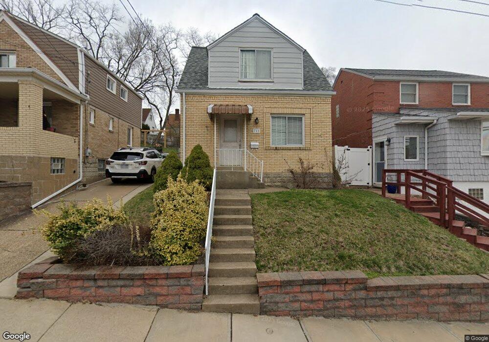
711 Dunster St Pittsburgh, PA 15226
Brookline NeighborhoodEstimated Value: $163,000 - $209,000
2
Beds
2
Baths
918
Sq Ft
$201/Sq Ft
Est. Value
About This Home
This home is located at 711 Dunster St, Pittsburgh, PA 15226 and is currently estimated at $184,217, approximately $200 per square foot. 711 Dunster St is a home located in Allegheny County with nearby schools including Pittsburgh West Liberty K-5, Pittsburgh South Brook, and Pittsburgh Carrick High School.
Ownership History
Date
Name
Owned For
Owner Type
Purchase Details
Closed on
Sep 16, 2009
Sold by
Rossa Maureen and Rossa Steven M
Bought by
Homerosky Matthew D
Current Estimated Value
Home Financials for this Owner
Home Financials are based on the most recent Mortgage that was taken out on this home.
Original Mortgage
$72,750
Outstanding Balance
$47,409
Interest Rate
5.12%
Mortgage Type
New Conventional
Estimated Equity
$136,808
Purchase Details
Closed on
Feb 2, 2009
Sold by
Wells Fargo Bank
Bought by
Rossa Steven M
Purchase Details
Closed on
Sep 2, 2008
Sold by
Deangelo Lisa M
Bought by
Wells Fargo Bank Na
Purchase Details
Closed on
Dec 23, 2002
Sold by
Sekura Charles and Sekura Maria
Bought by
Deangelo Lisa M
Create a Home Valuation Report for This Property
The Home Valuation Report is an in-depth analysis detailing your home's value as well as a comparison with similar homes in the area
Home Values in the Area
Average Home Value in this Area
Purchase History
| Date | Buyer | Sale Price | Title Company |
|---|---|---|---|
| Homerosky Matthew D | $75,000 | -- | |
| Rossa Steven M | $47,000 | -- | |
| Wells Fargo Bank Na | $1,588 | -- | |
| Deangelo Lisa M | $75,000 | -- |
Source: Public Records
Mortgage History
| Date | Status | Borrower | Loan Amount |
|---|---|---|---|
| Open | Homerosky Matthew D | $72,750 |
Source: Public Records
Tax History Compared to Growth
Tax History
| Year | Tax Paid | Tax Assessment Tax Assessment Total Assessment is a certain percentage of the fair market value that is determined by local assessors to be the total taxable value of land and additions on the property. | Land | Improvement |
|---|---|---|---|---|
| 2025 | $1,120 | $48,600 | $20,800 | $27,800 |
| 2024 | $1,120 | $48,600 | $20,800 | $27,800 |
| 2023 | $1,120 | $48,600 | $20,800 | $27,800 |
| 2022 | $1,105 | $48,600 | $20,800 | $27,800 |
| 2021 | $1,020 | $48,600 | $20,800 | $27,800 |
| 2020 | $1,100 | $48,600 | $20,800 | $27,800 |
| 2019 | $1,100 | $48,600 | $20,800 | $27,800 |
| 2018 | $790 | $48,600 | $20,800 | $27,800 |
| 2017 | $1,100 | $48,600 | $20,800 | $27,800 |
| 2016 | $230 | $48,600 | $20,800 | $27,800 |
| 2015 | $230 | $48,600 | $20,800 | $27,800 |
| 2014 | $1,076 | $48,600 | $20,800 | $27,800 |
Source: Public Records
Map
Nearby Homes
- 711 Mayville Ave
- 728 Mayville Ave
- 863 Dunster St
- 603 Crysler St
- 405 Fernhill Ave
- 1669 Edgebrook Ave
- 1937 Plainview Ave
- 2007 Plainview Ave
- 339 Fernhill Ave
- 320 Fernhill Ave
- 1831 Woodward Ave
- 608 Elmbank St
- 2054 Woodward Ave
- 2201 Whited St
- 1848 Ringwalt St
- 2143 Plainview Ave
- 2403 Lynnbrook Ave
- 2400 Pioneer Ave
- 616 Gallion Ave
- 1850 Kiralfy Ave