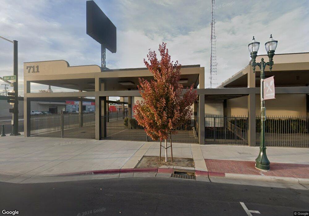
711 E Miner Ave Stockton, CA 95202
Downtown Stockton NeighborhoodEstimated Value: $1,663,887
Studio
--
Bath
--
Sq Ft
35,501
Sq Ft Lot
About This Home
This home is located at 711 E Miner Ave, Stockton, CA 95202 and is currently estimated at $1,663,887. 711 E Miner Ave is a home located in San Joaquin County with nearby schools including Spanos (Alex G.) Elementary School, Hazelton Elementary School, and Dolores Huerta Elementary School.
Ownership History
Date
Name
Owned For
Owner Type
Purchase Details
Closed on
Nov 29, 2007
Sold by
Bs Family Partnership
Bought by
Craig Patrick D and Craig Kathryn A
Current Estimated Value
Home Financials for this Owner
Home Financials are based on the most recent Mortgage that was taken out on this home.
Original Mortgage
$1,100,000
Outstanding Balance
$698,411
Interest Rate
6.36%
Mortgage Type
Commercial
Estimated Equity
$965,476
Purchase Details
Closed on
Nov 8, 2004
Sold by
Bs Family Partnership
Bought by
Bs Family Partnership and Manteca Trailer & Camper Inc
Purchase Details
Closed on
Feb 25, 2003
Sold by
Benson Bonnie J and Benson Gerald
Bought by
Bs Family Partnership
Purchase Details
Closed on
Mar 2, 2000
Sold by
Benson Gerald K and Benson Bonnie J
Bought by
Benson Gerald K and Benson Bonnie J
Purchase Details
Closed on
Jan 24, 1996
Sold by
Eagal John H
Bought by
Benson Gerald Keith and Benson Bonnie June
Home Financials for this Owner
Home Financials are based on the most recent Mortgage that was taken out on this home.
Original Mortgage
$400,000
Interest Rate
7.18%
Mortgage Type
Seller Take Back
Create a Home Valuation Report for This Property
The Home Valuation Report is an in-depth analysis detailing your home's value as well as a comparison with similar homes in the area
Home Values in the Area
Average Home Value in this Area
Purchase History
| Date | Buyer | Sale Price | Title Company |
|---|---|---|---|
| Craig Patrick D | -- | Alliance Title Company | |
| Bs Family Partnership | -- | Placer Title Company | |
| Bs Family Partnership | $750,000 | Central Valley Title Co | |
| Benson Gerald K | -- | -- | |
| Benson Gerald K | -- | -- | |
| Benson Gerald Keith | $500,000 | Commonwealth Land Title Ins |
Source: Public Records
Mortgage History
| Date | Status | Borrower | Loan Amount |
|---|---|---|---|
| Open | Craig Patrick D | $1,100,000 | |
| Previous Owner | Benson Gerald Keith | $400,000 |
Source: Public Records
Tax History
| Year | Tax Paid | Tax Assessment Tax Assessment Total Assessment is a certain percentage of the fair market value that is determined by local assessors to be the total taxable value of land and additions on the property. | Land | Improvement |
|---|---|---|---|---|
| 2025 | $21,480 | $1,444,822 | $459,716 | $985,106 |
| 2024 | $21,027 | $1,416,493 | $450,702 | $965,791 |
| 2023 | $20,470 | $1,388,719 | $441,865 | $946,854 |
| 2022 | $20,090 | $1,361,490 | $433,201 | $928,289 |
| 2021 | $19,332 | $1,334,795 | $424,707 | $910,088 |
| 2020 | $19,560 | $1,321,110 | $420,353 | $900,757 |
| 2019 | $19,495 | $1,295,207 | $412,111 | $883,096 |
| 2018 | $19,048 | $1,269,812 | $404,031 | $865,781 |
| 2017 | $18,188 | $1,244,914 | $396,109 | $848,805 |
| 2016 | $18,341 | $1,220,506 | $388,343 | $832,163 |
| 2014 | $17,567 | $1,178,640 | $375,022 | $803,618 |
Source: Public Records
Map
Nearby Homes
- 442 N Sutter St
- 430 E Oak St
- 0 Aurora Unit 225054400
- 1200 E Miner Ave
- 444 N Hunter St
- 715 N Sutter St
- 143 S California St
- 747 N Sutter St
- 1211 E Main St
- 1123 E Washington St
- 709 E Sonora St
- 825 N San Joaquin St
- 430 E Acacia St
- 644 N Airport Way
- 29 S Sierra Nevada St
- 438 E Magnolia St
- 807 N El Dorado St
- 720 N Center St
- 1224 E Lafayette St
- 336 S Airport Way
- 731 E Miner Ave
- 437 E Miner Ave
- 647 E Miner Ave
- 737 E Miner Ave
- 327 N Stanislaus St
- 321 N Stanislaus St
- 346 N Stanislaus St
- 728 E Lindsay St
- 732 E Lindsay St
- 345 N Stanislaus St
- 347 N Stanislaus St
- 705 E Lindsay St
- 727 E Lindsay St
- 715 E Lindsay St
- 735 E Lindsay St
- 334 N American St
- 405 N Stanislaus St
- 806 E Lindsay St
- 411 N Grant St
- 213 N Grant St
Your Personal Tour Guide
Ask me questions while you tour the home.