Estimated Value: $367,622 - $396,000
3
Beds
2
Baths
1,732
Sq Ft
$221/Sq Ft
Est. Value
About This Home
This home is located at 711 Fox Ct, Atco, NJ 08004 and is currently estimated at $382,656, approximately $220 per square foot. 711 Fox Ct is a home located in Camden County with nearby schools including Thomas Richards Elementary School, Waterford Elementary School, and Atco Elementary School.
Ownership History
Date
Name
Owned For
Owner Type
Purchase Details
Closed on
Nov 25, 2009
Sold by
Mulhern Robert and Mulhern Kristin
Bought by
Hook Matthew C
Current Estimated Value
Home Financials for this Owner
Home Financials are based on the most recent Mortgage that was taken out on this home.
Original Mortgage
$186,558
Outstanding Balance
$122,431
Interest Rate
5.02%
Mortgage Type
FHA
Estimated Equity
$260,225
Purchase Details
Closed on
Dec 15, 2000
Sold by
Piscitelli Mark A
Bought by
Mulhern Robert
Home Financials for this Owner
Home Financials are based on the most recent Mortgage that was taken out on this home.
Original Mortgage
$118,916
Interest Rate
7.64%
Mortgage Type
FHA
Purchase Details
Closed on
Apr 16, 1996
Sold by
Gordon Thomas
Bought by
Uakupchwa Stanley and Bruns Kathleen
Home Financials for this Owner
Home Financials are based on the most recent Mortgage that was taken out on this home.
Original Mortgage
$102,000
Interest Rate
7.77%
Mortgage Type
FHA
Create a Home Valuation Report for This Property
The Home Valuation Report is an in-depth analysis detailing your home's value as well as a comparison with similar homes in the area
Home Values in the Area
Average Home Value in this Area
Purchase History
| Date | Buyer | Sale Price | Title Company |
|---|---|---|---|
| Hook Matthew C | $190,000 | -- | |
| Mulhern Robert | $119,900 | -- | |
| Uakupchwa Stanley | $102,000 | -- |
Source: Public Records
Mortgage History
| Date | Status | Borrower | Loan Amount |
|---|---|---|---|
| Open | Hook Matthew C | $186,558 | |
| Previous Owner | Mulhern Robert | $118,916 | |
| Previous Owner | Uakupchwa Stanley | $102,000 |
Source: Public Records
Tax History Compared to Growth
Tax History
| Year | Tax Paid | Tax Assessment Tax Assessment Total Assessment is a certain percentage of the fair market value that is determined by local assessors to be the total taxable value of land and additions on the property. | Land | Improvement |
|---|---|---|---|---|
| 2025 | $7,133 | $161,900 | $43,500 | $118,400 |
| 2024 | $6,957 | $161,900 | $43,500 | $118,400 |
| 2023 | $6,957 | $161,900 | $43,500 | $118,400 |
| 2022 | $6,648 | $161,900 | $43,500 | $118,400 |
| 2021 | $6,615 | $161,900 | $43,500 | $118,400 |
| 2020 | $6,583 | $161,900 | $43,500 | $118,400 |
| 2019 | $6,482 | $161,900 | $43,500 | $118,400 |
| 2018 | $6,476 | $161,900 | $43,500 | $118,400 |
| 2017 | $6,376 | $161,900 | $43,500 | $118,400 |
| 2016 | $6,283 | $161,900 | $43,500 | $118,400 |
| 2015 | $6,118 | $161,900 | $43,500 | $118,400 |
| 2014 | $6,147 | $111,300 | $33,100 | $78,200 |
Source: Public Records
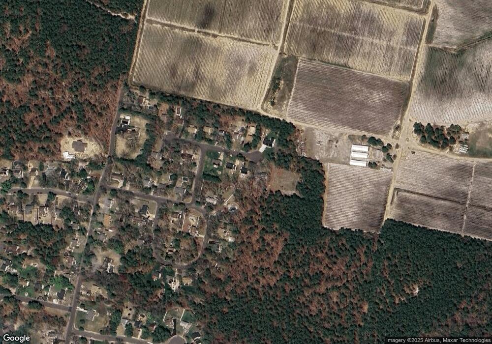
Map
Nearby Homes
- 2422 Louden Ln
- 2315 Ilene Ln
- 2470 Medford Rd
- 687 Jackson Rd
- 535 Jackson Rd
- 2329 Fernwood Ave
- 893 Willow Way
- 881 Willow Way
- 746 Raritan Ave
- 2336 Auburn Ave
- 2239 Ellwood Ave
- 538 3rd St
- 537 3rd St
- 2254 Clifford Ave
- 2216 Harrison
- 2216 Harrison Ave
- 1173 Maple Ave
- 965 Martha Blvd
- 344 Raritan Ave
- 2148 Bartram Ave