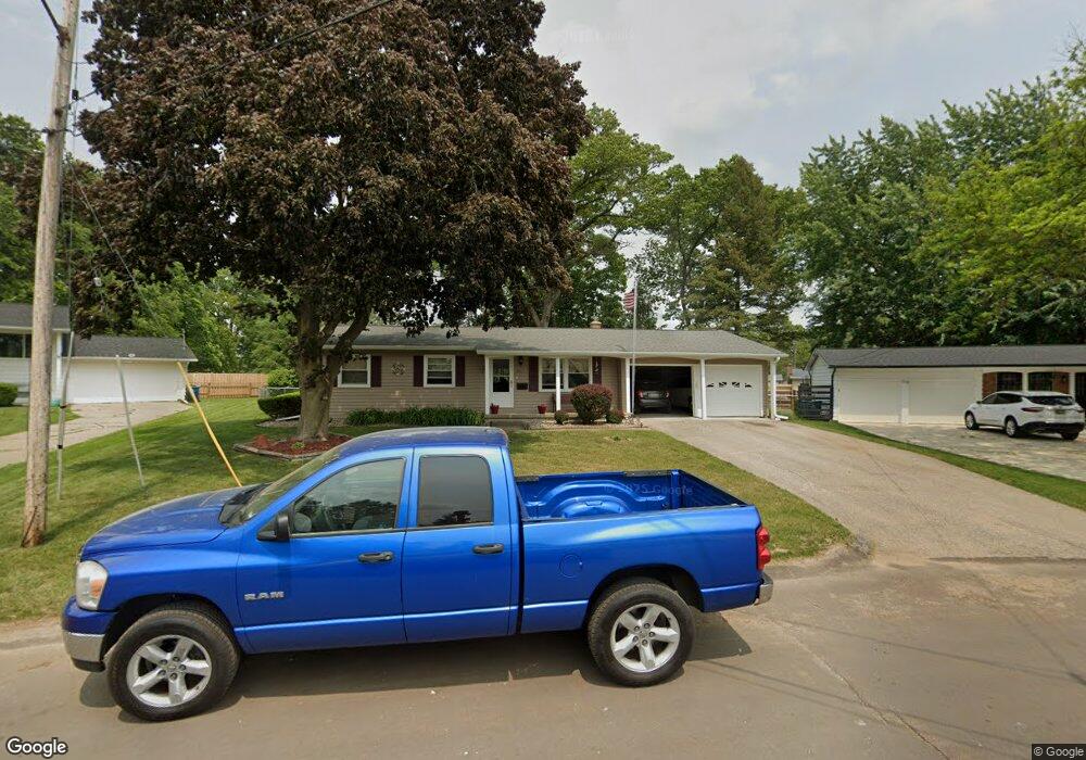
711 Greenridge Rd Battle Creek, MI 49015
Minges Brook Riverside NeighborhoodEstimated Value: $234,569 - $258,000
3
Beds
2
Baths
1,786
Sq Ft
$137/Sq Ft
Est. Value
About This Home
This home is located at 711 Greenridge Rd, Battle Creek, MI 49015 and is currently estimated at $244,142, approximately $136 per square foot. 711 Greenridge Rd is a home located in Calhoun County with nearby schools including Lakeview Middle School, Lakeview High School, and Arbor Academy.
Ownership History
Date
Name
Owned For
Owner Type
Purchase Details
Closed on
Oct 21, 2024
Sold by
Lancaster Ricky L
Bought by
Lancaster Ricky L and Ricky L Lancaster Trust
Current Estimated Value
Purchase Details
Closed on
Mar 14, 2008
Sold by
Ragan Bruce Donald and Ragan Deborah H
Bought by
Lancaster Ricky L and Lancaster Sheila Jean
Home Financials for this Owner
Home Financials are based on the most recent Mortgage that was taken out on this home.
Original Mortgage
$121,125
Interest Rate
5.74%
Mortgage Type
Purchase Money Mortgage
Purchase Details
Closed on
Nov 27, 2001
Sold by
Ragan Deborah H
Bought by
Ragan Deborah H and Bruce Donald
Create a Home Valuation Report for This Property
The Home Valuation Report is an in-depth analysis detailing your home's value as well as a comparison with similar homes in the area
Home Values in the Area
Average Home Value in this Area
Purchase History
| Date | Buyer | Sale Price | Title Company |
|---|---|---|---|
| Lancaster Ricky L | -- | None Listed On Document | |
| Lancaster Ricky L | $142,500 | Chicago Title Of Michigan | |
| Ragan Deborah H | -- | -- |
Source: Public Records
Mortgage History
| Date | Status | Borrower | Loan Amount |
|---|---|---|---|
| Previous Owner | Lancaster Ricky L | $121,125 |
Source: Public Records
Tax History Compared to Growth
Tax History
| Year | Tax Paid | Tax Assessment Tax Assessment Total Assessment is a certain percentage of the fair market value that is determined by local assessors to be the total taxable value of land and additions on the property. | Land | Improvement |
|---|---|---|---|---|
| 2025 | -- | $99,200 | $0 | $0 |
| 2024 | $2,370 | $92,873 | $0 | $0 |
| 2023 | $2,699 | $84,182 | $0 | $0 |
| 2022 | $2,141 | $75,297 | $0 | $0 |
| 2021 | $2,628 | $71,722 | $0 | $0 |
| 2020 | $2,473 | $63,442 | $0 | $0 |
| 2019 | $2,463 | $59,234 | $0 | $0 |
| 2018 | $2,463 | $55,747 | $6,347 | $49,400 |
| 2017 | $2,388 | $55,471 | $0 | $0 |
| 2016 | $2,384 | $52,958 | $0 | $0 |
| 2015 | $2,218 | $50,559 | $4,258 | $46,301 |
| 2014 | $2,218 | $49,585 | $4,258 | $45,327 |
Source: Public Records
Map
Nearby Homes
- 677 Morningside Dr
- 401 Morningside Dr
- 206 N Chapel Hill Dr
- 317 Country Club Terrace
- 226 Morningside Dr
- 214 Morningside Dr
- 127 Morningside Dr
- 133 Country Club Terrace
- V/L Riverside Dr
- 246 Brentwood Dr
- 326 Goldenview Dr
- 620 Meadow Dr
- 415 Oakvale Ct
- 819 Riverside Dr
- 175 S Ridgeway Dr
- 498 Ashton Lake Dr
- 245 Columbia Ave E
- 396 S Hills Dr
- 582 Riverside Dr
- 52 E Acacia Blvd
- 707 Greenridge Rd
- 715 Greenridge Rd
- 719 Greenridge Rd
- 703 Greenridge Rd
- 708 Greenridge Rd
- 730 Cambridge Dr
- 736 Cambridge Dr
- 720 Cambridge Dr
- 685 Knollwood Dr
- 742 Cambridge Dr
- 703 Knollwood Dr
- 675 Knollwood Dr
- 723 Greenridge Rd
- 714 Greenridge Rd
- 729 Cambridge Dr
- 665 Knollwood Dr
- 748 Cambridge Dr
- 694 Knollwood Dr
- 713 Cambridge Dr
- 737 Cambridge Dr