711 Howell Rd Westmoreland, TN 37186
Estimated Value: $358,000 - $530,244
--
Bed
2
Baths
2,504
Sq Ft
$177/Sq Ft
Est. Value
About This Home
This home is located at 711 Howell Rd, Westmoreland, TN 37186 and is currently estimated at $444,122, approximately $177 per square foot. 711 Howell Rd is a home located in Macon County.
Ownership History
Date
Name
Owned For
Owner Type
Purchase Details
Closed on
Mar 2, 2005
Sold by
Bobby Howell
Bought by
Howell Gary M
Current Estimated Value
Purchase Details
Closed on
Jan 7, 2005
Bought by
Howell Gary and Howell Suzanne
Create a Home Valuation Report for This Property
The Home Valuation Report is an in-depth analysis detailing your home's value as well as a comparison with similar homes in the area
Home Values in the Area
Average Home Value in this Area
Purchase History
| Date | Buyer | Sale Price | Title Company |
|---|---|---|---|
| Howell Gary M | $15,000 | -- | |
| Howell Gary | $15,400 | -- |
Source: Public Records
Tax History Compared to Growth
Tax History
| Year | Tax Paid | Tax Assessment Tax Assessment Total Assessment is a certain percentage of the fair market value that is determined by local assessors to be the total taxable value of land and additions on the property. | Land | Improvement |
|---|---|---|---|---|
| 2024 | $1,700 | $120,300 | $8,525 | $111,775 |
| 2023 | $1,700 | $120,300 | $0 | $0 |
| 2022 | $1,646 | $68,600 | $8,000 | $60,600 |
| 2021 | $1,646 | $68,600 | $8,000 | $60,600 |
| 2020 | $1,646 | $68,600 | $8,000 | $60,600 |
| 2019 | $1,646 | $68,600 | $8,000 | $60,600 |
| 2018 | $1,518 | $68,600 | $8,000 | $60,600 |
| 2017 | $1,558 | $61,825 | $6,300 | $55,525 |
| 2016 | $1,484 | $61,825 | $6,300 | $55,525 |
| 2015 | $1,484 | $61,825 | $6,300 | $55,525 |
| 2014 | $1,483 | $61,802 | $0 | $0 |
Source: Public Records
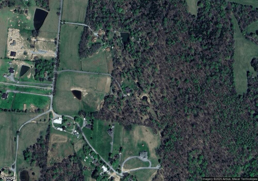
Map
Nearby Homes
- 670 Howell Rd
- 11076 Highway 52 W
- 295 Akins Heights Ln
- 393 Leaths Branch Rd
- 234 Haven Way
- 10029 Old Highway 52
- 458 Robins Trail
- 8943 Phillips Hollow Rd
- 219 Wagoners Way
- 401 Robins Trail
- 401 Robin's Trail
- 6221 Austin Peay Hwy
- 4169 Bledsoe St
- 1112 New Highway 52 E
- 177 Lauren Ln
- 397 Lauren Ln
- 1131 New Hwy 52
- 1123 New Hwy 52
- 709 Hicks Hollow Rd
- 5270 New Highway 31e