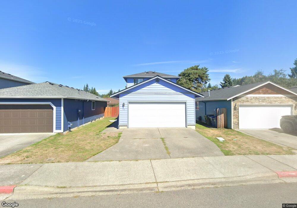
711 Lois Ln Unit 11 Sultan, WA 98294
Estimated Value: $404,675 - $446,000
3
Beds
2
Baths
952
Sq Ft
$443/Sq Ft
Est. Value
About This Home
This home is located at 711 Lois Ln Unit 11, Sultan, WA 98294 and is currently estimated at $422,169, approximately $443 per square foot. 711 Lois Ln Unit 11 is a home located in Snohomish County with nearby schools including Sultan Senior High School.
Ownership History
Date
Name
Owned For
Owner Type
Purchase Details
Closed on
Jun 17, 2004
Sold by
Troy Harriet A
Bought by
Carranza Francisco Javier and Flores Celina Jacinto
Current Estimated Value
Home Financials for this Owner
Home Financials are based on the most recent Mortgage that was taken out on this home.
Original Mortgage
$160,050
Outstanding Balance
$76,868
Interest Rate
6.29%
Mortgage Type
FHA
Estimated Equity
$345,301
Purchase Details
Closed on
Mar 28, 2000
Sold by
D B Johnson Construction Inc
Bought by
Troy Harriet A
Home Financials for this Owner
Home Financials are based on the most recent Mortgage that was taken out on this home.
Original Mortgage
$127,150
Interest Rate
8.38%
Create a Home Valuation Report for This Property
The Home Valuation Report is an in-depth analysis detailing your home's value as well as a comparison with similar homes in the area
Home Values in the Area
Average Home Value in this Area
Purchase History
| Date | Buyer | Sale Price | Title Company |
|---|---|---|---|
| Carranza Francisco Javier | $165,000 | Pnwt | |
| Troy Harriet A | $132,950 | -- |
Source: Public Records
Mortgage History
| Date | Status | Borrower | Loan Amount |
|---|---|---|---|
| Open | Carranza Francisco Javier | $160,050 | |
| Previous Owner | Troy Harriet A | $127,150 | |
| Closed | Troy Harriet A | $7,500 |
Source: Public Records
Tax History
| Year | Tax Paid | Tax Assessment Tax Assessment Total Assessment is a certain percentage of the fair market value that is determined by local assessors to be the total taxable value of land and additions on the property. | Land | Improvement |
|---|---|---|---|---|
| 2026 | $3,315 | $373,200 | $220,000 | $153,200 |
| 2025 | $2,995 | $370,800 | $205,000 | $165,800 |
| 2024 | $2,995 | $338,100 | $178,000 | $160,100 |
| 2023 | $2,620 | $334,700 | $191,000 | $143,700 |
| 2022 | $2,328 | $255,400 | $141,000 | $114,400 |
| 2020 | $2,051 | $204,600 | $108,000 | $96,600 |
| 2019 | $1,770 | $183,500 | $91,000 | $92,500 |
| 2018 | $1,782 | $149,600 | $63,000 | $86,600 |
| 2017 | $1,680 | $139,700 | $45,000 | $94,700 |
| 2016 | $1,830 | $148,900 | $57,000 | $91,900 |
| 2015 | $1,704 | $129,800 | $44,000 | $85,800 |
| 2013 | $1,365 | $101,200 | $37,000 | $64,200 |
Source: Public Records
Map
Nearby Homes
- 512 Walnut Ave
- 307 8th St Unit 7
- 712 Alder St
- 712 3rd St
- 204 Date Ave
- 711 10th St
- 111 Cedar Ave Unit 1
- 924 Merea Ln
- 1107 Loves Hill Dr
- 1105 Kessler Dr
- 0 138th St SE
- 1122 Dyer Rd
- 14055 Sultan Basin Rd
- 1304 10th St
- 1338 Cascade St
- 1326 11th St
- 32302 135th Place SE
- 32306 135th Place SE
- 1528 Gohr Rd
- 13435 323rd Dr SE
- 709 Lois Ln Unit 12
- 713 Lois Ln Unit 10
- 715 Lois Ln Unit 9
- 707 Lois Ln Unit 13
- 705 Lois Ln Unit 14
- 710 Lois Ln Unit 33
- 708 Lois Ln Unit 34
- 712 Lois Ln Unit 32
- 706 Lois Ln Unit 35
- 716 Murphy Way
- 703 Lois Ln Unit 15
- 704 Lois Ln Unit 36
- 723 Laural Ct Unit 7
- 503 Lois Ln Unit 31
- 701 Lois Ln Unit 16
- 702 Lois Ln Unit 37
- 724 Laural Ct Unit 6
- 711 Date Ave Unit 29
- 720 Laural Ct Unit 4
- 709 Date Ave
Your Personal Tour Guide
Ask me questions while you tour the home.