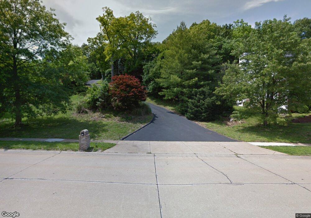
711 McBride Pointe Dr Ballwin, MO 63011
Estimated Value: $572,003 - $605,000
4
Beds
4
Baths
3,408
Sq Ft
$173/Sq Ft
Est. Value
About This Home
This home is located at 711 McBride Pointe Dr, Ballwin, MO 63011 and is currently estimated at $588,751, approximately $172 per square foot. 711 McBride Pointe Dr is a home located in St. Louis County with nearby schools including Babler Elementary School, Rockwood Valley Middle School, and Lafayette High School.
Ownership History
Date
Name
Owned For
Owner Type
Purchase Details
Closed on
Jul 13, 2010
Sold by
Federal Home Loan Mortgage Corporation
Bought by
Mullineaux James M and Wahl Mullineax Mary A
Current Estimated Value
Home Financials for this Owner
Home Financials are based on the most recent Mortgage that was taken out on this home.
Original Mortgage
$200,000
Interest Rate
4.76%
Mortgage Type
New Conventional
Purchase Details
Closed on
Sep 18, 2009
Sold by
First Horizon Home Loans
Bought by
Federal Home Loan Mortgage Corp
Purchase Details
Closed on
Sep 4, 2009
Sold by
Przybylowski Ray and Przybylowski Gloria M
Bought by
First Horizon Home Loans
Create a Home Valuation Report for This Property
The Home Valuation Report is an in-depth analysis detailing your home's value as well as a comparison with similar homes in the area
Home Values in the Area
Average Home Value in this Area
Purchase History
| Date | Buyer | Sale Price | Title Company |
|---|---|---|---|
| Mullineaux James M | $267,000 | Stewart Title | |
| Federal Home Loan Mortgage Corp | -- | None Available | |
| First Horizon Home Loans | $357,364 | None Available |
Source: Public Records
Mortgage History
| Date | Status | Borrower | Loan Amount |
|---|---|---|---|
| Closed | Mullineaux James M | $200,000 |
Source: Public Records
Tax History
| Year | Tax Paid | Tax Assessment Tax Assessment Total Assessment is a certain percentage of the fair market value that is determined by local assessors to be the total taxable value of land and additions on the property. | Land | Improvement |
|---|---|---|---|---|
| 2025 | $5,338 | $106,720 | $37,180 | $69,540 |
| 2024 | $5,338 | $76,760 | $30,570 | $46,190 |
| 2023 | $5,338 | $76,760 | $30,570 | $46,190 |
| 2022 | $5,742 | $76,760 | $20,390 | $56,370 |
| 2021 | $5,700 | $81,680 | $20,390 | $61,290 |
| 2020 | $5,652 | $72,580 | $18,320 | $54,260 |
| 2019 | $5,675 | $72,580 | $18,320 | $54,260 |
| 2018 | $6,339 | $76,440 | $18,320 | $58,120 |
| 2017 | $6,187 | $76,440 | $18,320 | $58,120 |
| 2016 | $5,196 | $61,740 | $18,320 | $43,420 |
| 2015 | $5,091 | $61,740 | $18,320 | $43,420 |
| 2014 | $4,578 | $54,150 | $23,980 | $30,170 |
Source: Public Records
Map
Nearby Homes
- 18024 Cider Mill Dr
- 1839 Sullivan Pointe Dr
- 1800 Wade Ct
- 583 McBride Pointe Dr
- 2470 Indian Tree Cir
- 16403 Prestwick Place Ln
- 16404 Clayton Rd
- 2209 Ridgley Woods Dr
- 17662 Garden Ridge Cir
- 1504 Englebrook Dr
- 1909 Shepard Rd
- 16839 Kehrsbrooke Ct
- 1635 Clayton Spur Ct
- 1529 Garden Valley Dr
- 2140 Dartmouth Gate Ct
- 1460 Highland Valley Dr
- 215 Cobblefield Ct
- 1631 Highland Valley Cir
- 1605 Ridge Bend Dr
- 17824 Valley View Ln
- 705 McBride Pointe Dr
- 717 McBride Pointe Dr
- 723 McBride Pointe Dr
- 659 McBride Pointe Dr
- 1824 Oconnell Pointe Ct
- 1823 Oconnell Pointe Ct
- 18032 Deercliff Ct
- 702 McBride Pointe Dr
- 651 McBride Pointe Dr
- 729 McBride Pointe Dr
- 1820 O'Connell Pointe Ct
- 1819 Oconnell Pointe Ct
- 644 McBride Pointe Dr
- 1806 Sullivan Pointe Dr
- 643 McBride Pointe Dr
- 1816 Oconnell Pointe Ct
- 735 McBride Pointe Dr
- 1815 Oconnell Pointe Ct
- 614 Boggan Pointe Ct
- 640 McBride Pointe Dr
Your Personal Tour Guide
Ask me questions while you tour the home.