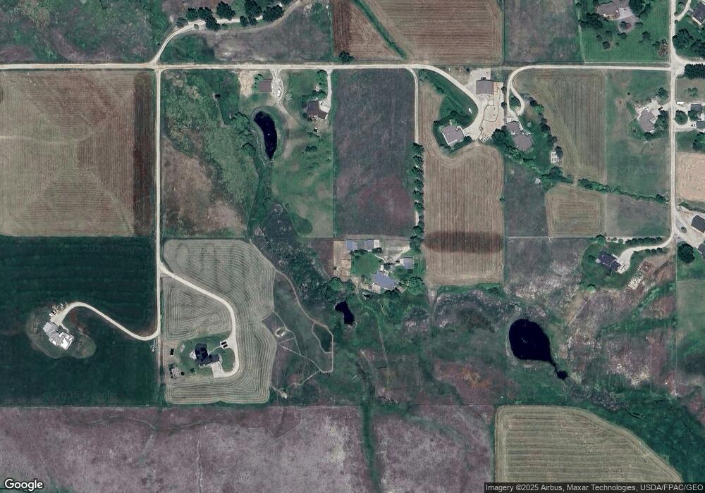
711 Mihara Ln Corvallis, MT 59828
Estimated Value: $875,000 - $978,000
3
Beds
3
Baths
2,600
Sq Ft
$358/Sq Ft
Est. Value
About This Home
This home is located at 711 Mihara Ln, Corvallis, MT 59828 and is currently estimated at $930,491, approximately $357 per square foot. 711 Mihara Ln is a home located in Ravalli County with nearby schools including Quentin Brown Primary School and Corvallis High School.
Ownership History
Date
Name
Owned For
Owner Type
Purchase Details
Closed on
Nov 17, 2006
Sold by
Horwich John L and Horwich Pamela L
Bought by
Hurst Ronald E and Hurst Suzanne M
Current Estimated Value
Home Financials for this Owner
Home Financials are based on the most recent Mortgage that was taken out on this home.
Original Mortgage
$825,000
Interest Rate
2.43%
Mortgage Type
FHA
Create a Home Valuation Report for This Property
The Home Valuation Report is an in-depth analysis detailing your home's value as well as a comparison with similar homes in the area
Home Values in the Area
Average Home Value in this Area
Purchase History
| Date | Buyer | Sale Price | Title Company |
|---|---|---|---|
| Hurst Ronald E | -- | First American Title | |
| Hurst Ronald E | -- | -- |
Source: Public Records
Mortgage History
| Date | Status | Borrower | Loan Amount |
|---|---|---|---|
| Previous Owner | Hurst Ronald E | $825,000 | |
| Closed | Hurst Ronald E | $1 |
Source: Public Records
Tax History Compared to Growth
Tax History
| Year | Tax Paid | Tax Assessment Tax Assessment Total Assessment is a certain percentage of the fair market value that is determined by local assessors to be the total taxable value of land and additions on the property. | Land | Improvement |
|---|---|---|---|---|
| 2025 | $1,877 | $794,680 | $0 | $0 |
| 2024 | $1,813 | $625,002 | $0 | $0 |
| 2023 | $2,963 | $625,002 | $0 | $0 |
| 2022 | $2,587 | $466,086 | $0 | $0 |
| 2021 | $2,095 | $466,086 | $0 | $0 |
| 2020 | $2,408 | $429,408 | $0 | $0 |
| 2019 | $2,373 | $429,408 | $0 | $0 |
| 2018 | $2,162 | $384,194 | $0 | $0 |
| 2017 | $2,037 | $384,194 | $0 | $0 |
| 2016 | $1,958 | $373,910 | $0 | $0 |
| 2015 | $1,939 | $373,910 | $0 | $0 |
| 2014 | $1,722 | $191,851 | $0 | $0 |
Source: Public Records
Map
Nearby Homes
- Tract C Hamilton Heights Rd
- 553 Cow Creek Ln
- 909 Hamilton Heights Rd
- 470 Salmon Way
- 514 Hamilton Heights Rd Unit 4
- 514 Hamilton Heights Rd Unit 5
- 514 Hamilton Heights Rd Unit 6
- 514 Hamilton Heights Rd Unit 3
- 514 Hamilton Heights Rd Unit 2
- 514 Hamilton Heights Rd Unit 1
- 587 Wolfe Trail
- 486 Ryans Way
- 1437 Stock Farm Rd
- 000 Stock Farm Rd
- 649 Warbler Ln
- 612 Wises Way
- 746 Pallo Trail
- 669 Prodigal Trail
- 752 Pallo Trail
- 1054 Hamilton Heights Rd
- NHN Mihara Ln
- 669 Mihara Ln
- 725 Mihara Ln
- 701 Mihara Ln
- Nkn Mihara Ln
- 523 Diamond 3 Rd
- 501 Diamond 3 Rd
- 521 Diamond 3 Rd
- Unk Yerian Ln
- 502 Diamond 3 Rd
- 502 Diamond 3 Rd
- 680 Mihara Ln
- 520 Diamond 3 Rd
- LOT 2B Triangle Ln
- 100 Diamond 3 Rd
- 533 Diamond 3 Rd
- Unk Yerian Rd
- XXX Mihara Ln
- 657 Mihara Ln
- Nhn Diamond 3 Rd
