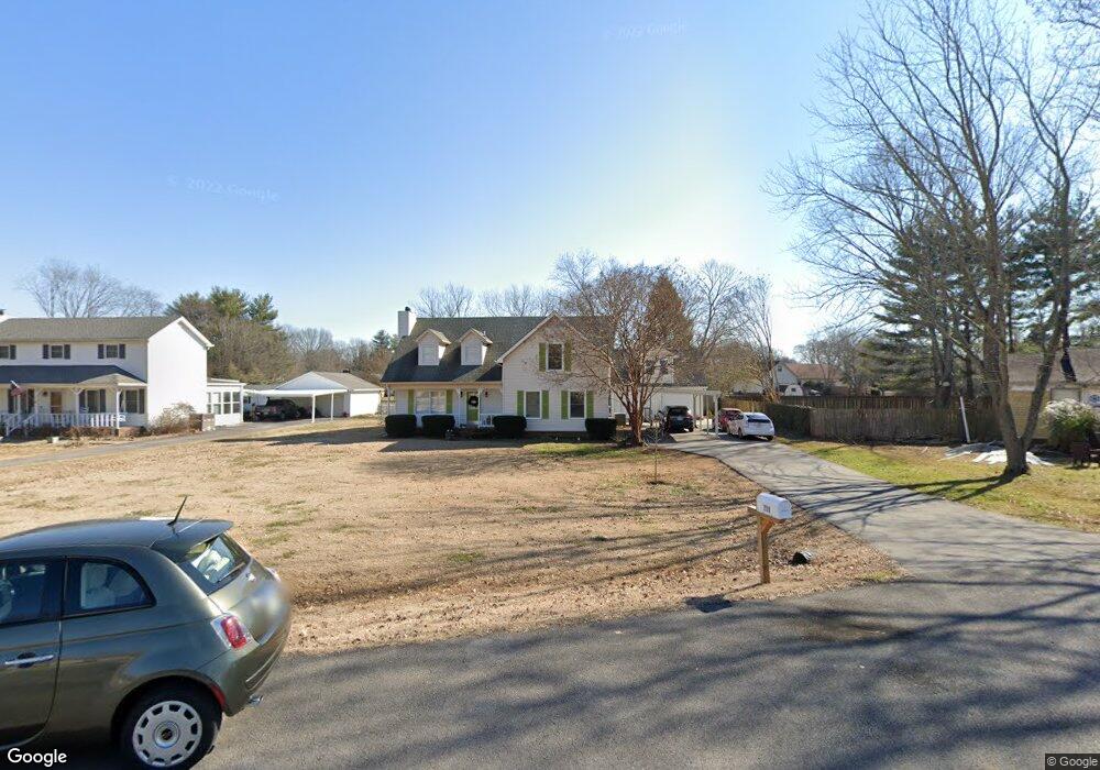
711 Penn Ct Murfreesboro, TN 37128
Estimated Value: $288,000 - $413,000
Studio
2
Baths
1,643
Sq Ft
$211/Sq Ft
Est. Value
About This Home
This home is located at 711 Penn Ct, Murfreesboro, TN 37128 and is currently estimated at $346,651, approximately $210 per square foot. 711 Penn Ct is a home located in Rutherford County with nearby schools including Cason Lane Academy, Rockvale Middle School, and Rockvale High School.
Ownership History
Date
Name
Owned For
Owner Type
Purchase Details
Closed on
Apr 13, 2015
Sold by
Chrismar Partnership
Bought by
Crafford Christoffel F
Current Estimated Value
Purchase Details
Closed on
Mar 28, 2011
Sold by
Hrinda Anthony
Bought by
Chrismar Partnership
Home Financials for this Owner
Home Financials are based on the most recent Mortgage that was taken out on this home.
Original Mortgage
$143,260
Interest Rate
4.92%
Mortgage Type
Purchase Money Mortgage
Purchase Details
Closed on
Sep 17, 1998
Sold by
Richard Spann Danny
Bought by
Hrinda and Angela
Create a Home Valuation Report for This Property
The Home Valuation Report is an in-depth analysis detailing your home's value as well as a comparison with similar homes in the area
Home Values in the Area
Average Home Value in this Area
Purchase History
| Date | Buyer | Sale Price | Title Company |
|---|---|---|---|
| Crafford Christoffel F | -- | -- | |
| Chrismar Partnership | $96,000 | -- | |
| Hrinda | $82,000 | -- |
Source: Public Records
Mortgage History
| Date | Status | Borrower | Loan Amount |
|---|---|---|---|
| Previous Owner | Chrismar Partnership | $143,260 |
Source: Public Records
Tax History
| Year | Tax Paid | Tax Assessment Tax Assessment Total Assessment is a certain percentage of the fair market value that is determined by local assessors to be the total taxable value of land and additions on the property. | Land | Improvement |
|---|---|---|---|---|
| 2025 | $2,242 | $79,275 | $13,750 | $65,525 |
| 2024 | $2,242 | $79,275 | $13,750 | $65,525 |
| 2023 | $1,490 | $79,400 | $13,750 | $65,650 |
| 2022 | $1,283 | $79,400 | $13,750 | $65,650 |
| 2021 | $1,276 | $57,513 | $11,250 | $46,263 |
| 2020 | $1,276 | $57,513 | $11,250 | $46,263 |
| 2019 | $1,276 | $57,513 | $11,250 | $46,263 |
| 2018 | $1,582 | $51,888 | $0 | $0 |
| 2017 | $1,470 | $37,825 | $0 | $0 |
| 2016 | $1,470 | $37,825 | $0 | $0 |
| 2015 | $1,470 | $37,825 | $0 | $0 |
| 2014 | $941 | $37,825 | $0 | $0 |
| 2013 | -- | $34,150 | $0 | $0 |
Source: Public Records
Map
Nearby Homes
- 807 River Rock Blvd
- 2729 Stonehedge Dr
- 2747 Stonehedge Dr
- 2724 Roscommon Dr
- 543 River Rock Blvd
- 2905 Stonehedge Dr
- 2123 River Chase Dr
- 2113 River Chase Dr
- 2216 River Rock Crossing
- 3012 Roscommon Dr
- 2046 Queenie Johns Dr
- 2018 Queenie Johns Dr
- 2038 Queenie Johns Dr
- 2022 Queenie Johns Dr
- 2026 Queenie Johns Dr
- 1111 Thomas Johns Ct
- 2034 Grace Johns Cir
- 2039 Grace Johns Cir
- 2033 Grace Johns Cir
- 2035 Grace Johns Cir
- 709 Penn Ct
- 713 Penn Ct
- 2509 Racquet Club Dr
- 2405 Spaulding Cir
- 718 Penn Ct
- 2401 Spaulding Cir
- 714 Penn Ct
- 2409 Spaulding Cir
- 2505 Racquet Club Dr
- 710 Penn Ct
- 706 Penn Ct
- 2601 Racquet Club Dr
- 2501 Racquet Club Dr
- 2605 Racquet Club Dr
- 2510 Racquet Club Dr
- 2514 Racquet Club Dr
- 2402 Spaulding Cir
- 2506 Racquet Club Dr
- 89 Camrose Way
- 1 Camrose Way
Your Personal Tour Guide
Ask me questions while you tour the home.