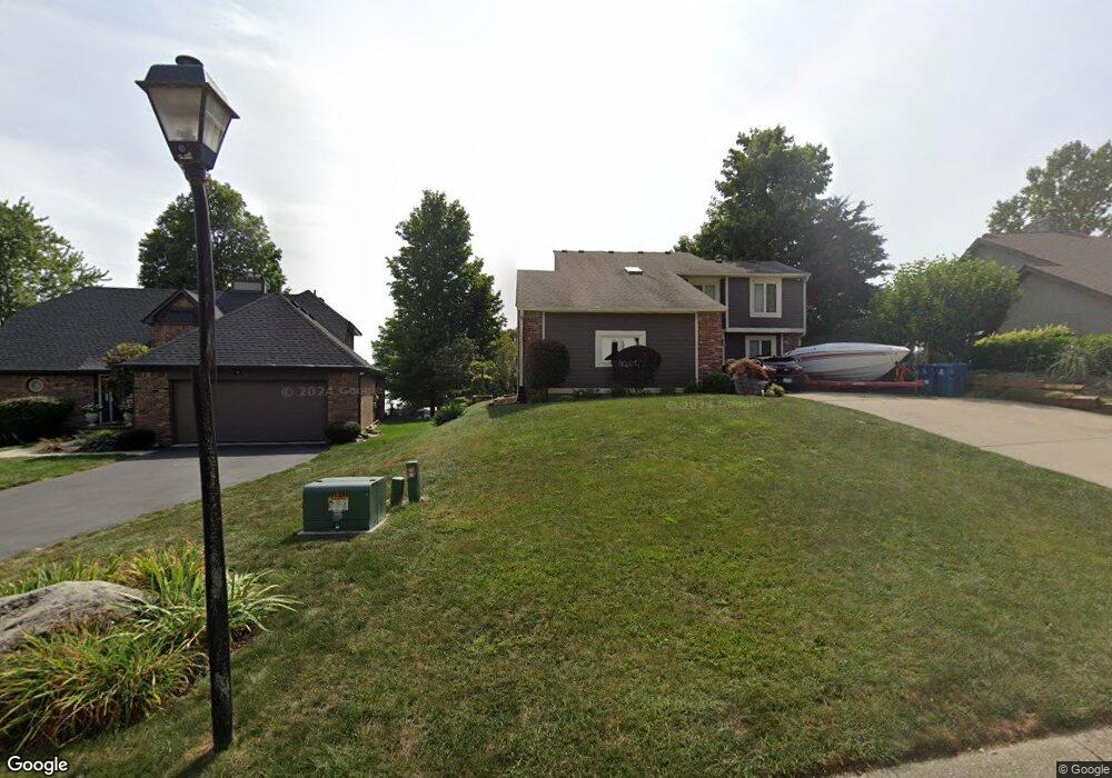
711 Pleasant Point Cir Cicero, IN 46034
Estimated Value: $611,000 - $1,108,000
4
Beds
4
Baths
2,236
Sq Ft
$377/Sq Ft
Est. Value
About This Home
This home is located at 711 Pleasant Point Cir, Cicero, IN 46034 and is currently estimated at $842,295, approximately $376 per square foot. 711 Pleasant Point Cir is a home located in Hamilton County with nearby schools including Hamilton Heights Primary School, Hamilton Heights Elementary School, and Hamilton Heights Middle School.
Ownership History
Date
Name
Owned For
Owner Type
Purchase Details
Closed on
Jun 18, 2001
Sold by
Ott Rodney R and Ott Diane
Bought by
Falkenberry Michael R and Falkenberry Victoria L
Current Estimated Value
Home Financials for this Owner
Home Financials are based on the most recent Mortgage that was taken out on this home.
Original Mortgage
$272,000
Interest Rate
6.37%
Mortgage Type
Purchase Money Mortgage
Create a Home Valuation Report for This Property
The Home Valuation Report is an in-depth analysis detailing your home's value as well as a comparison with similar homes in the area
Home Values in the Area
Average Home Value in this Area
Purchase History
| Date | Buyer | Sale Price | Title Company |
|---|---|---|---|
| Falkenberry Michael R | -- | -- |
Source: Public Records
Mortgage History
| Date | Status | Borrower | Loan Amount |
|---|---|---|---|
| Previous Owner | Falkenberry Michael R | $272,000 |
Source: Public Records
Tax History Compared to Growth
Tax History
| Year | Tax Paid | Tax Assessment Tax Assessment Total Assessment is a certain percentage of the fair market value that is determined by local assessors to be the total taxable value of land and additions on the property. | Land | Improvement |
|---|---|---|---|---|
| 2024 | $4,811 | $593,800 | $233,100 | $360,700 |
| 2023 | $4,811 | $481,100 | $233,100 | $248,000 |
| 2022 | $4,228 | $422,800 | $174,800 | $248,000 |
| 2021 | $4,052 | $405,200 | $174,800 | $230,400 |
| 2020 | $4,052 | $405,200 | $174,800 | $230,400 |
| 2019 | $4,004 | $400,400 | $128,200 | $272,200 |
| 2018 | $3,795 | $379,500 | $128,200 | $251,300 |
| 2017 | $3,769 | $376,900 | $128,200 | $248,700 |
| 2016 | $3,831 | $383,100 | $128,200 | $254,900 |
| 2014 | $3,196 | $319,600 | $128,200 | $191,400 |
| 2013 | $3,196 | $310,900 | $125,800 | $185,100 |
Source: Public Records
Map
Nearby Homes
- 826 N Lanyard Dr
- 1055 Spinner Ct
- 100 Confidential Dr
- 815 Morse Landing Dr
- 130 Overston Ct
- 34 Hovden Dr
- 1180 Shoreline Cir
- 221 Common Loon Blvd
- 949 Nantucket Dr
- 131 Batteese Dr
- 14 Morse Ct
- 15 Morse Ct
- 31 Bluewater Dr
- 104 Perlican Dr
- 1306 N Catamaran Cir
- 1940 Stringtown Pike
- 1209 Half Moon Ln
- 2029 Seven Peaks Dr
- 18 Point Ln
- 140 Wiley St
- 713 Pleasant Point Cir
- 709 Pleasant Point Cir
- LOT 89 Pleasant Point Cir
- 717 Pleasant Point Cir
- 706 Pleasant Point Cir
- 705 Pleasant Point Cir
- 716 Pleasant Point Cir
- 906 Lanyard Ct
- 714 Pleasant Point Cir
- 718 Pleasant Point Cir
- 703 Pleasant Point Cir
- 719 Pleasant Point Cir
- 702 Pleasant Point Cir
- 910 Lanyard Ct
- 712 Pleasant Point Cir
- 435 Morse Landing Dr
- 822 N Lanyard Dr
- 475 Morse Landing Dr
- 710 Pleasant Point Cir
- 721 Pleasant Point Cir