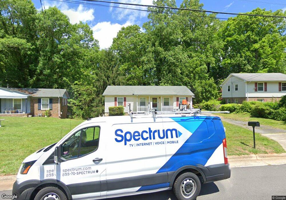
711 Runyon Dr High Point, NC 27260
Greater High Point NeighborhoodEstimated Value: $219,000 - $247,000
3
Beds
2
Baths
1,800
Sq Ft
$132/Sq Ft
Est. Value
About This Home
This home is located at 711 Runyon Dr, High Point, NC 27260 and is currently estimated at $237,848, approximately $132 per square foot. 711 Runyon Dr is a home located in Guilford County with nearby schools including Jamestown Elementary School, Southwest Guilford Middle School, and Southwest Guilford High School.
Ownership History
Date
Name
Owned For
Owner Type
Purchase Details
Closed on
Sep 1, 2021
Sold by
Belle Julianne B and Crawford Theophilus J
Bought by
Belle Julius J
Current Estimated Value
Home Financials for this Owner
Home Financials are based on the most recent Mortgage that was taken out on this home.
Original Mortgage
$150,000
Outstanding Balance
$136,285
Interest Rate
2.7%
Mortgage Type
VA
Estimated Equity
$101,563
Purchase Details
Closed on
Jun 29, 2006
Sold by
Smith Barry Wayne and Smith Pamela A
Bought by
Crawford Theophilus J and Belle Julianne D
Home Financials for this Owner
Home Financials are based on the most recent Mortgage that was taken out on this home.
Original Mortgage
$108,000
Interest Rate
6.57%
Mortgage Type
Purchase Money Mortgage
Create a Home Valuation Report for This Property
The Home Valuation Report is an in-depth analysis detailing your home's value as well as a comparison with similar homes in the area
Home Values in the Area
Average Home Value in this Area
Purchase History
| Date | Buyer | Sale Price | Title Company |
|---|---|---|---|
| Belle Julius J | $150,000 | None Available | |
| Crawford Theophilus J | $118,000 | None Available |
Source: Public Records
Mortgage History
| Date | Status | Borrower | Loan Amount |
|---|---|---|---|
| Open | Belle Julius J | $150,000 | |
| Previous Owner | Crawford Theophilus J | $108,000 |
Source: Public Records
Tax History
| Year | Tax Paid | Tax Assessment Tax Assessment Total Assessment is a certain percentage of the fair market value that is determined by local assessors to be the total taxable value of land and additions on the property. | Land | Improvement |
|---|---|---|---|---|
| 2025 | $1,995 | $144,800 | $25,000 | $119,800 |
| 2024 | $1,995 | $144,800 | $25,000 | $119,800 |
| 2023 | $1,995 | $144,800 | $25,000 | $119,800 |
| 2022 | $1,952 | $144,800 | $25,000 | $119,800 |
| 2021 | $1,079 | $78,300 | $13,000 | $65,300 |
| 2020 | $1,079 | $78,300 | $13,000 | $65,300 |
| 2019 | $1,079 | $78,300 | $0 | $0 |
| 2018 | $1,074 | $78,300 | $0 | $0 |
| 2017 | $1,074 | $78,300 | $0 | $0 |
| 2016 | $1,091 | $77,800 | $0 | $0 |
| 2015 | $1,097 | $77,800 | $0 | $0 |
| 2014 | $1,116 | $77,800 | $0 | $0 |
Source: Public Records
Map
Nearby Homes
- 3206 Crestview Dr
- 120 Orville Dr
- 1456 London Dr
- 122 Orville Dr
- 1451 Finsbury Ln
- 600 Hendrix St
- 615 Hendrix St
- 1227 Greensboro Rd
- 632 Wrenn Forest St
- 307 Brookview Cir
- 301 Lindale Dr
- 509 Valleybrook Dr
- 735 Hendrix St
- 737 Hendrix St
- 423 Dogwood Cir
- 3408 Dillon Rd
- 206 Paramount St
- 113 Red Plum Ln
- 3215 E Martin Luther King Junior Dr
- 2305 Delaware Place
Your Personal Tour Guide
Ask me questions while you tour the home.