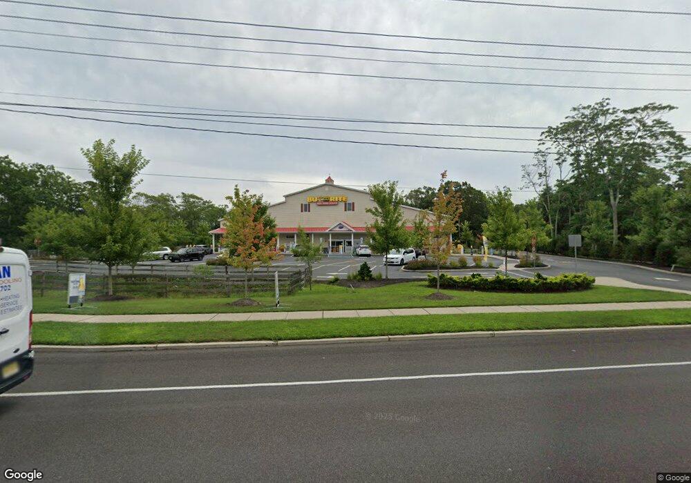
711 S Main St West Creek, NJ 08092
Stafford NeighborhoodEstimated Value: $970,000
6
Beds
4
Baths
11,880
Sq Ft
$82/Sq Ft
Est. Value
About This Home
This home is located at 711 S Main St, West Creek, NJ 08092 and is currently priced at $970,000, approximately $81 per square foot. 711 S Main St is a home located in Ocean County with nearby schools including Oxycocus Elementary School, Ocean Acres Elementary School, and McKinley Avenue Elementary School.
Ownership History
Date
Name
Owned For
Owner Type
Purchase Details
Closed on
May 20, 2015
Sold by
Shore Community Bank
Bought by
Seven Eleven Real Estate Llc
Current Estimated Value
Purchase Details
Closed on
Dec 16, 2013
Sold by
Guido Joseph M and Guido Teresa
Bought by
Shore Community Bank
Purchase Details
Closed on
Oct 15, 2009
Sold by
Guido Joseph M
Bought by
Guido Joseph M and Guido Teresa
Purchase Details
Closed on
Nov 2, 1993
Sold by
Grovatt John C
Bought by
Guido Joseph M
Create a Home Valuation Report for This Property
The Home Valuation Report is an in-depth analysis detailing your home's value as well as a comparison with similar homes in the area
Home Values in the Area
Average Home Value in this Area
Purchase History
| Date | Buyer | Sale Price | Title Company |
|---|---|---|---|
| Seven Eleven Real Estate Llc | $790,000 | Trident Abstract | |
| Shore Community Bank | -- | None Available | |
| Guido Joseph M | -- | None Available | |
| Guido Joseph M | $575,000 | -- |
Source: Public Records
Tax History Compared to Growth
Tax History
| Year | Tax Paid | Tax Assessment Tax Assessment Total Assessment is a certain percentage of the fair market value that is determined by local assessors to be the total taxable value of land and additions on the property. | Land | Improvement |
|---|---|---|---|---|
| 2025 | $24,659 | $993,100 | $250,600 | $742,500 |
| 2024 | $24,420 | $993,100 | $250,600 | $742,500 |
| 2023 | $23,378 | $993,100 | $250,600 | $742,500 |
| 2022 | $23,378 | $993,100 | $250,600 | $742,500 |
| 2021 | $23,060 | $993,100 | $250,600 | $742,500 |
| 2020 | $23,090 | $993,100 | $250,600 | $742,500 |
| 2019 | $22,762 | $993,100 | $250,600 | $742,500 |
| 2018 | $6,438 | $282,600 | $282,600 | $0 |
| 2017 | $26,597 | $1,142,000 | $474,600 | $667,400 |
| 2016 | $26,597 | $1,142,000 | $474,600 | $667,400 |
| 2015 | $25,661 | $1,142,000 | $474,600 | $667,400 |
| 2014 | $25,510 | $1,121,300 | $474,600 | $646,700 |
Source: Public Records
Map
Nearby Homes
- 1076 S Main St
- 15 Cedar Hill Dr
- 40 Pine Grove Ave
- 670 Julian Ct
- 0 Dinner Point Unit NJOC2036750
- 34 Holly Rd
- 84 Jennings Rd
- 0 Dinner Point Ave Unit 22526583
- 71 Oak Ridge Ln
- 75 Perry Ln
- 30 Fort Lee Dr
- 36 Fort Lee Dr
- 637 Cedar Run Dock Rd
- 247 Jennings Rd
- 275 Jennings Rd
- 129 Bruce Dr
- 25 N Union St
- 303 S Lakeshore Dr
- 26 Blue Heron Ln
- 76 Beach Ave
- 701 S Main St
- 731 S Main St
- 50 Mayetta Landing Rd
- 24 Mayetta Landing Rd
- 32 Mayetta Landing Rd
- 726 S Main St
- 732 S Main St
- 714 S Main St Unit 2A
- 714 S Main St
- 52 Mayetta Landing Rd
- 744 S Main St
- 602 U S 9
- 68 Mayetta Landing Rd
- 31 Mayetta Landing Rd
- 738 S Main St
- 758 S Main St
- 775 S Main St
- 1 Pond Hollow Ln
- 789 S Main St
- 750 S Main St