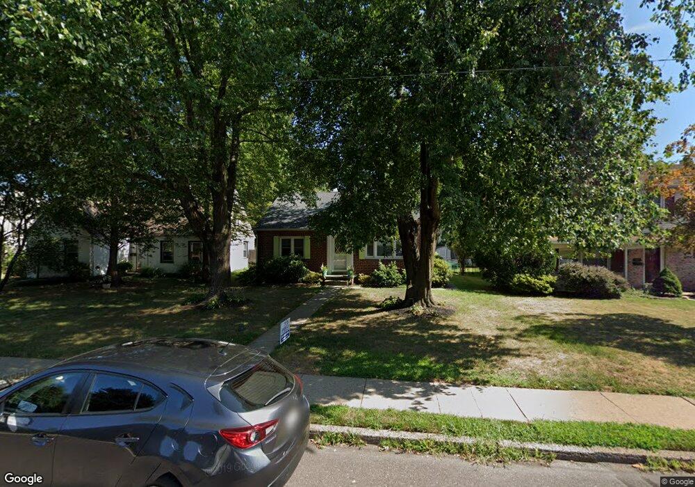
711 York Ave Lansdale, PA 19446
Estimated Value: $408,000 - $419,000
2
Beds
1
Bath
1,344
Sq Ft
$307/Sq Ft
Est. Value
About This Home
This home is located at 711 York Ave, Lansdale, PA 19446 and is currently estimated at $412,099, approximately $306 per square foot. 711 York Ave is a home located in Montgomery County with nearby schools including York Avenue Elementary School, Penndale Middle School, and North Penn Senior High School.
Ownership History
Date
Name
Owned For
Owner Type
Purchase Details
Closed on
Jan 26, 2007
Sold by
Westburg Dorothy H
Bought by
Robinson Summer K and Robinson Ryan P
Current Estimated Value
Home Financials for this Owner
Home Financials are based on the most recent Mortgage that was taken out on this home.
Original Mortgage
$57,500
Outstanding Balance
$34,555
Interest Rate
6.22%
Estimated Equity
$377,544
Purchase Details
Closed on
May 9, 2001
Sold by
Quinn P Terrence and Quinn Jeanne J
Bought by
Lenox Properties Inc
Create a Home Valuation Report for This Property
The Home Valuation Report is an in-depth analysis detailing your home's value as well as a comparison with similar homes in the area
Home Values in the Area
Average Home Value in this Area
Purchase History
| Date | Buyer | Sale Price | Title Company |
|---|---|---|---|
| Robinson Summer K | $230,000 | None Available | |
| Lenox Properties Inc | $138,672 | -- |
Source: Public Records
Mortgage History
| Date | Status | Borrower | Loan Amount |
|---|---|---|---|
| Open | Robinson Summer K | $57,500 | |
| Open | Robinson Summer K | $172,500 |
Source: Public Records
Tax History Compared to Growth
Tax History
| Year | Tax Paid | Tax Assessment Tax Assessment Total Assessment is a certain percentage of the fair market value that is determined by local assessors to be the total taxable value of land and additions on the property. | Land | Improvement |
|---|---|---|---|---|
| 2025 | $5,549 | $131,920 | $44,680 | $87,240 |
| 2024 | $5,549 | $131,920 | $44,680 | $87,240 |
| 2023 | $5,191 | $131,920 | $44,680 | $87,240 |
| 2022 | $5,026 | $131,920 | $44,680 | $87,240 |
| 2021 | $4,821 | $131,920 | $44,680 | $87,240 |
| 2020 | $4,676 | $131,920 | $44,680 | $87,240 |
| 2019 | $4,598 | $131,920 | $44,680 | $87,240 |
| 2018 | $1,233 | $131,920 | $44,680 | $87,240 |
| 2017 | $4,292 | $131,920 | $44,680 | $87,240 |
| 2016 | $4,241 | $131,920 | $44,680 | $87,240 |
| 2015 | $3,936 | $131,920 | $44,680 | $87,240 |
| 2014 | $3,936 | $131,920 | $44,680 | $87,240 |
Source: Public Records
Map
Nearby Homes
- 920 Columbia Ave
- 723 Columbia Ave
- 21 S Valley Forge Rd Unit 213
- 712 Derstine Ave
- 39 N Mitchell Ave
- 521 Columbia Ave
- 507 Delaware Ave
- 515 Winding Rd
- 1113 York Ave
- 545 Winding Rd
- 405 Derstine Ave
- 340 Central Dr
- 403 Derstine Ave
- 132 Green St
- 118 Green St
- 1035 Forest Ave
- 750 Annes Ct
- 521 Green St
- 128 S Broad St
- 118 S Broad St