7110 435th Ave Waterville, MN 56096
Estimated Value: $603,000 - $710,184
3
Beds
3
Baths
2,620
Sq Ft
$250/Sq Ft
Est. Value
About This Home
This home is located at 7110 435th Ave, Waterville, MN 56096 and is currently estimated at $654,796, approximately $249 per square foot. 7110 435th Ave is a home located in Waseca County with nearby schools including Waterville Elementary School, Morristown Elementary School, and Waterville-Elysian-Morristown Junior High School.
Ownership History
Date
Name
Owned For
Owner Type
Purchase Details
Closed on
Dec 1, 2025
Sold by
Gertz David and Gertz Patricia
Bought by
Jevning Brian
Current Estimated Value
Home Financials for this Owner
Home Financials are based on the most recent Mortgage that was taken out on this home.
Original Mortgage
$580,000
Outstanding Balance
$580,000
Interest Rate
6.27%
Mortgage Type
New Conventional
Estimated Equity
$74,796
Purchase Details
Closed on
Dec 4, 2015
Sold by
Rome Robert Robert
Bought by
Gertz David David
Home Financials for this Owner
Home Financials are based on the most recent Mortgage that was taken out on this home.
Original Mortgage
$70,000
Interest Rate
3.93%
Create a Home Valuation Report for This Property
The Home Valuation Report is an in-depth analysis detailing your home's value as well as a comparison with similar homes in the area
Home Values in the Area
Average Home Value in this Area
Purchase History
| Date | Buyer | Sale Price | Title Company |
|---|---|---|---|
| Jevning Brian | $725,000 | -- | |
| Gertz David David | $369,000 | -- |
Source: Public Records
Mortgage History
| Date | Status | Borrower | Loan Amount |
|---|---|---|---|
| Open | Jevning Brian | $580,000 | |
| Previous Owner | Gertz David David | $70,000 |
Source: Public Records
Tax History Compared to Growth
Tax History
| Year | Tax Paid | Tax Assessment Tax Assessment Total Assessment is a certain percentage of the fair market value that is determined by local assessors to be the total taxable value of land and additions on the property. | Land | Improvement |
|---|---|---|---|---|
| 2024 | $6,090 | $654,100 | $264,500 | $389,600 |
| 2023 | $5,158 | $592,800 | $244,900 | $347,900 |
| 2022 | $5,734 | $565,300 | $250,100 | $315,200 |
| 2021 | $5,210 | $478,600 | $211,700 | $266,900 |
| 2020 | $5,176 | $442,800 | $195,900 | $246,900 |
| 2019 | $5,012 | $442,800 | $195,900 | $246,900 |
| 2018 | $4,124 | $410,500 | $180,200 | $230,300 |
| 2017 | $3,948 | $386,400 | $178,935 | $207,465 |
| 2016 | $3,958 | $379,200 | $173,473 | $205,727 |
| 2015 | -- | $369,800 | $164,499 | $205,301 |
| 2012 | -- | $374,700 | $173,320 | $201,380 |
Source: Public Records
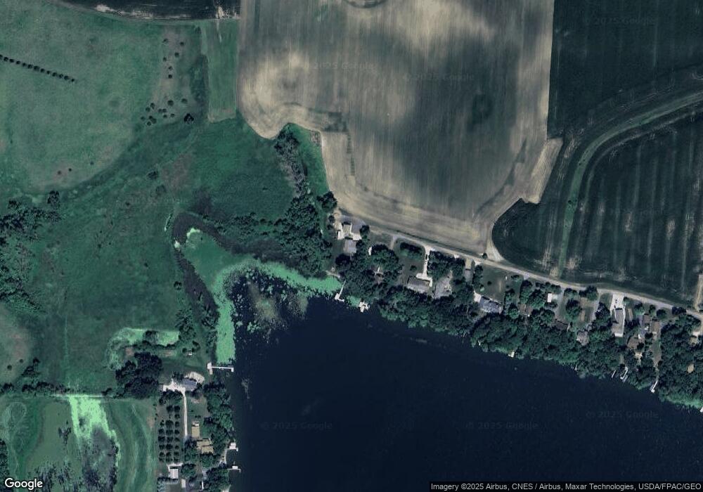
Map
Nearby Homes
- -XX Jason Dr
- 921 Lillian St
- xx Lewis Ln
- xxxxxx Lewis Ln
- 4 Egret Ln
- 0 Xx Lewis Ln Unit 7025397
- 0 Xx Lewis Ln Unit 7025381
- 902 Marion St
- 102 Buchannon St S
- 114 Reed St S
- 212 2nd St S
- 3271 425th Ave
- 130 1st St N
- 49279 Sportsmans Ln
- 810 N Shore Dr
- 49189 Sportsmans Ln
- 617 1st St N
- 705 1st St N
- 730 1st St N
- Open Lot Browers St E
- 7120 435th Ave
- 7140 7140 435th Ave
- 7140 435th Ave
- 7168 435th Ave
- 7190 435th Ave
- 7212 435th Ave
- 43505 73rd St
- 7260 435th Ave
- 7260 435th Ave Unit Reeds Lake
- 43476 73rd St
- 43476 73rd St
- 7270 435th Ave
- 43442 73rd St
- 43450 73rd St
- 43422 73rd St
- 7300 435th Ave
- 43410 73rd St
- 7271 435th Ave
- 43384 73rd St
- 43372 73rd St