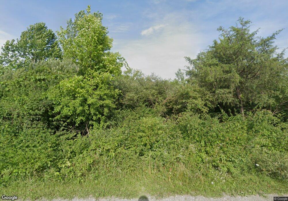
7110 Michael Rd Middletown, OH 45042
Estimated Value: $294,000 - $600,244
4
Beds
4
Baths
4,051
Sq Ft
$112/Sq Ft
Est. Value
About This Home
This home is located at 7110 Michael Rd, Middletown, OH 45042 and is currently estimated at $454,311, approximately $112 per square foot. 7110 Michael Rd is a home located in Butler County with nearby schools including Madison High School.
Ownership History
Date
Name
Owned For
Owner Type
Purchase Details
Closed on
Jan 22, 2018
Sold by
Norvell Stephen A and Norvell Teresa J
Bought by
Norvell Stephen A and Norvell Teresa J
Current Estimated Value
Purchase Details
Closed on
Jul 28, 2017
Sold by
Norvell Phillys Jean
Bought by
Stephen A Norvell and Teresa J Norvell
Purchase Details
Closed on
Jul 20, 2017
Sold by
Norvell Phyllis Jean
Bought by
Norvell Stephen A and Norvell Teresa
Create a Home Valuation Report for This Property
The Home Valuation Report is an in-depth analysis detailing your home's value as well as a comparison with similar homes in the area
Home Values in the Area
Average Home Value in this Area
Purchase History
| Date | Buyer | Sale Price | Title Company |
|---|---|---|---|
| Norvell Stephen A | -- | None Available | |
| Stephen A Norvell | -- | -- | |
| Norvell Stephen A | $100,000 | None Available |
Source: Public Records
Tax History
| Year | Tax Paid | Tax Assessment Tax Assessment Total Assessment is a certain percentage of the fair market value that is determined by local assessors to be the total taxable value of land and additions on the property. | Land | Improvement |
|---|---|---|---|---|
| 2025 | $7,233 | $171,580 | $25,200 | $146,380 |
| 2024 | $7,233 | $171,580 | $25,200 | $146,380 |
| 2023 | $7,180 | $171,580 | $25,200 | $146,380 |
| 2022 | $4,734 | $103,250 | $20,550 | $82,700 |
| 2021 | $4,489 | $103,250 | $20,550 | $82,700 |
| 2020 | $4,668 | $103,250 | $20,550 | $82,700 |
| 2019 | $5,978 | $103,250 | $20,550 | $82,700 |
| 2018 | $5,155 | $103,250 | $20,550 | $82,700 |
| 2017 | $5,641 | $126,620 | $25,200 | $101,420 |
| 2016 | $5,582 | $115,800 | $25,200 | $90,600 |
| 2015 | $5,362 | $115,800 | $25,200 | $90,600 |
| 2014 | $7,191 | $115,800 | $25,200 | $90,600 |
| 2013 | $7,191 | $88,050 | $25,200 | $62,850 |
Source: Public Records
Map
Nearby Homes
- 6526 Diver Ln
- 5800 Trenton Franklin Rd
- 6503 Niderdale Way
- 1020 Middletown Eaton Rd
- 489 Emerson Rd
- 881 Middletown Eaton Rd
- 1316 Middletown Eaton Rd
- 640 Hill St
- 5251 Trenton Franklin Rd
- 429 Leichty Ave
- 433 Leichty Ave
- 8030 Thomas Rd
- 7152 Middlemoor Ln
- 1100 Hughes St
- 6308 Elk Creek Rd
- 1721 Germantown Rd
- 805 Mary Etta St
- 2136 Renee Dr
- 0 Elk Creek Rd Unit 951510
- 0 Elk Creek Rd Unit 1862657
- 7066 Michael Rd
- 7132 Michael Rd
- 7184 Michael Rd
- 6391 Diver Ln
- 6400 Diver Ln
- 7006 Michael Rd
- 7220 Michael Rd
- 6949 Michael Rd
- 7281 Michael Rd
- 6984 Michael Rd
- 6416 Diver Ln
- 6939 Michael Rd
- 7280 Michael Rd
- 6960 Michael Rd
- 7060 Michael Rd
- 6952 Michael Rd
- 7290 Michael Rd
- 6945 Michael Rd
- 7310 Michael Rd
- 6919 Michael Rd
