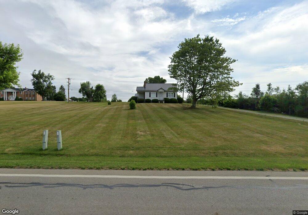
7114 State Route 125 West Union, OH 45693
Estimated Value: $111,000 - $126,000
3
Beds
2
Baths
1,498
Sq Ft
$79/Sq Ft
Est. Value
About This Home
This home is located at 7114 State Route 125, West Union, OH 45693 and is currently estimated at $118,090, approximately $78 per square foot. 7114 State Route 125 is a home located in Adams County with nearby schools including West Union Elementary School, West Union High School, and Adams County Christian School.
Ownership History
Date
Name
Owned For
Owner Type
Purchase Details
Closed on
Nov 1, 2024
Sold by
Bob Richmond Living Trust and Richmond Robert R
Bought by
Humphrey Gerald
Current Estimated Value
Purchase Details
Closed on
Jul 17, 2023
Sold by
Richmond Robert R
Bought by
Richmond Robert R and Bob Richmond Living Trust
Purchase Details
Closed on
Dec 10, 2020
Sold by
Barnes Mark and Barnes Wendell
Bought by
Richmond Robert R
Home Financials for this Owner
Home Financials are based on the most recent Mortgage that was taken out on this home.
Original Mortgage
$11,500
Interest Rate
2.7%
Mortgage Type
New Conventional
Purchase Details
Closed on
Jun 12, 1995
Bought by
Barnes Wendell N
Create a Home Valuation Report for This Property
The Home Valuation Report is an in-depth analysis detailing your home's value as well as a comparison with similar homes in the area
Home Values in the Area
Average Home Value in this Area
Purchase History
| Date | Buyer | Sale Price | Title Company |
|---|---|---|---|
| Humphrey Gerald | $90,000 | None Listed On Document | |
| Richmond Robert R | -- | None Listed On Document | |
| Richmond Robert R | -- | None Listed On Document | |
| Richmond Robert R | -- | None Listed On Document | |
| Barnes Wendell N | -- | -- |
Source: Public Records
Mortgage History
| Date | Status | Borrower | Loan Amount |
|---|---|---|---|
| Previous Owner | Richmond Robert R | $11,500 | |
| Previous Owner | Richmond Robert R | $92,000 |
Source: Public Records
Tax History Compared to Growth
Tax History
| Year | Tax Paid | Tax Assessment Tax Assessment Total Assessment is a certain percentage of the fair market value that is determined by local assessors to be the total taxable value of land and additions on the property. | Land | Improvement |
|---|---|---|---|---|
| 2024 | $517 | $30,460 | $5,220 | $25,240 |
| 2023 | $1,041 | $30,460 | $5,220 | $25,240 |
| 2022 | $1,033 | $28,700 | $3,850 | $24,850 |
| 2021 | $1,055 | $28,700 | $3,850 | $24,850 |
| 2020 | $1,079 | $28,700 | $3,850 | $24,850 |
| 2019 | $1,079 | $28,700 | $3,850 | $24,850 |
| 2018 | $938 | $25,450 | $3,850 | $21,600 |
| 2017 | $923 | $25,450 | $3,850 | $21,600 |
| 2016 | $295 | $25,450 | $3,850 | $21,600 |
| 2015 | $526 | $24,190 | $4,620 | $19,570 |
| 2014 | $526 | $24,190 | $4,620 | $19,570 |
Source: Public Records
Map
Nearby Homes
- 93 Jose Dr
- 80 Madonna Dr
- 3 Chapparal Rd
- 2 Chapparal Rd
- 1 Chapparal Rd
- 4 Chapparal Rd
- 4400 Chapparal Rd
- 714 Panhandle Ave
- 0 State Route 41 1 Acre Lot
- 0 Cic Blvd
- 302 W Main St
- 101 S Mound St
- 408 W South St
- 305 W Walnut St
- 12196 State Route 41
- 204 E North St
- 70 Logans Ln
- 216 S Market St
- 286 & 290 S Market St
- 501 E Mulberry St
- 7070 Ohio 125
- 7070 State Route 125
- 6928 State Route 125
- 6928 State Route 125
- 6891 State Route 125
- 87 Connie Dr
- 100 Amber Dr
- 6862 State Route 125
- 6862 State Route 125
- 76 Connie Dr
- 72 Amber Dr
- 125 Amber Dr
- 170 Amber Dr
- 25 Connie Dr
- 23 Jose Dr
- 57 Jose Dr
- 39 Alana Dr
- 20 Madonna Dr
- 6770 State Route 125
- 80 Alana Dr