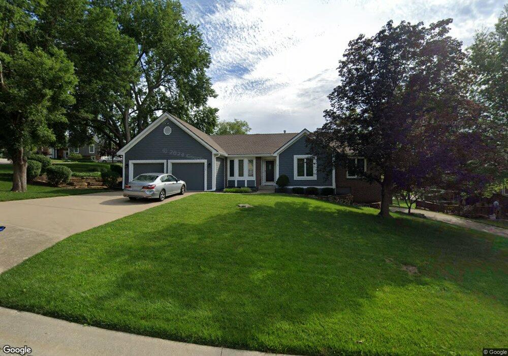
7115 Summit Ct Shawnee, KS 66216
Estimated Value: $399,676 - $434,000
3
Beds
3
Baths
1,827
Sq Ft
$227/Sq Ft
Est. Value
About This Home
This home is located at 7115 Summit Ct, Shawnee, KS 66216 and is currently estimated at $415,419, approximately $227 per square foot. 7115 Summit Ct is a home located in Johnson County with nearby schools including Rhein Benninghoven Elementary School, Trailridge Middle School, and Shawnee Mission Northwest High School.
Ownership History
Date
Name
Owned For
Owner Type
Purchase Details
Closed on
Apr 23, 2020
Sold by
Lind Magnus
Bought by
Mcnally Ryan P
Current Estimated Value
Home Financials for this Owner
Home Financials are based on the most recent Mortgage that was taken out on this home.
Original Mortgage
$145,000
Outstanding Balance
$127,838
Interest Rate
3.6%
Mortgage Type
New Conventional
Estimated Equity
$287,581
Purchase Details
Closed on
Oct 27, 2010
Sold by
Brown Frederick G and Brown Patricia A
Bought by
Lind Magnus
Purchase Details
Closed on
Aug 26, 2008
Sold by
Brown Frederick G and Brown Patricia A
Bought by
Brown Frederick G and Brown Patricia A
Create a Home Valuation Report for This Property
The Home Valuation Report is an in-depth analysis detailing your home's value as well as a comparison with similar homes in the area
Home Values in the Area
Average Home Value in this Area
Purchase History
| Date | Buyer | Sale Price | Title Company |
|---|---|---|---|
| Mcnally Ryan P | -- | Continental Title Company | |
| Lind Magnus | -- | Kansas City Title | |
| Brown Frederick G | -- | None Available |
Source: Public Records
Mortgage History
| Date | Status | Borrower | Loan Amount |
|---|---|---|---|
| Open | Mcnally Ryan P | $145,000 |
Source: Public Records
Tax History
| Year | Tax Paid | Tax Assessment Tax Assessment Total Assessment is a certain percentage of the fair market value that is determined by local assessors to be the total taxable value of land and additions on the property. | Land | Improvement |
|---|---|---|---|---|
| 2025 | $4,190 | $41,159 | $8,453 | $32,706 |
| 2023 | $4,066 | $37,927 | $7,681 | $30,246 |
| 2022 | $3,770 | $35,041 | $7,681 | $27,360 |
| 2021 | $3,644 | $31,775 | $6,983 | $24,792 |
| 2020 | $3,774 | $32,499 | $6,342 | $26,157 |
| 2019 | $3,829 | $32,959 | $5,759 | $27,200 |
| 2018 | $3,611 | $33,154 | $5,759 | $27,395 |
| 2017 | $3,711 | $31,326 | $5,235 | $26,091 |
| 2016 | $3,678 | $30,659 | $5,235 | $25,424 |
| 2015 | $3,356 | $28,980 | $5,235 | $23,745 |
| 2013 | -- | $26,048 | $5,235 | $20,813 |
Source: Public Records
Map
Nearby Homes
- 7220 Park St
- 7216 Rene St
- 13416 W 70th Terrace
- 13924 W 71st Place
- 13900 W 69th Terrace
- 7238 Richards Dr
- 7212 Richards Dr
- 6926 Albervan St
- 12914 W 69th St
- 14102 W 69th St
- 7024 Parkhill St
- 13212 W 67th St
- 7325 Oakview St
- 7006 Long Ave
- 13805 Midland Dr
- 14512 W 69th St
- 6616 Bradshaw St
- 12324 W 71st Terrace
- 6528 Bradshaw St
- 14913 W 71st Terrace
Your Personal Tour Guide
Ask me questions while you tour the home.