7117 State Route 48 Springboro, OH 45066
Estimated Value: $1,538,000 - $1,911,000
5
Beds
6
Baths
5,710
Sq Ft
$308/Sq Ft
Est. Value
About This Home
This home is located at 7117 State Route 48, Springboro, OH 45066 and is currently estimated at $1,760,229, approximately $308 per square foot. 7117 State Route 48 is a home located in Warren County with nearby schools including Clearcreek Elementary School, Springboro Intermediate School, and Springboro Junior High School.
Ownership History
Date
Name
Owned For
Owner Type
Purchase Details
Closed on
Jul 24, 2018
Sold by
Saldana Jason M and Saldana Lynn E
Bought by
Burdick Eric M and Lampe Karen J
Current Estimated Value
Home Financials for this Owner
Home Financials are based on the most recent Mortgage that was taken out on this home.
Original Mortgage
$660,000
Outstanding Balance
$567,165
Interest Rate
4.5%
Mortgage Type
New Conventional
Estimated Equity
$1,193,064
Purchase Details
Closed on
Oct 26, 2015
Sold by
Shaner Ray E
Bought by
Saldana Jason M and Saldana Lynn E
Purchase Details
Closed on
Nov 2, 1987
Sold by
Lawton Lawton and Lawton George
Bought by
Shaner Shaner and Shaner Ray E
Create a Home Valuation Report for This Property
The Home Valuation Report is an in-depth analysis detailing your home's value as well as a comparison with similar homes in the area
Home Values in the Area
Average Home Value in this Area
Purchase History
| Date | Buyer | Sale Price | Title Company |
|---|---|---|---|
| Burdick Eric M | $1,060,000 | Hallmark Title | |
| Saldana Jason M | -- | Attorney | |
| Shaner Shaner | $37,900 | -- |
Source: Public Records
Mortgage History
| Date | Status | Borrower | Loan Amount |
|---|---|---|---|
| Open | Burdick Eric M | $660,000 |
Source: Public Records
Tax History
| Year | Tax Paid | Tax Assessment Tax Assessment Total Assessment is a certain percentage of the fair market value that is determined by local assessors to be the total taxable value of land and additions on the property. | Land | Improvement |
|---|---|---|---|---|
| 2025 | $19,381 | $474,390 | $135,290 | $339,100 |
| 2024 | $19,381 | $474,390 | $135,290 | $339,100 |
| 2023 | $16,754 | $384,895 | $82,883 | $302,011 |
| 2022 | $16,754 | $384,895 | $82,884 | $302,012 |
| 2021 | $15,762 | $384,895 | $82,884 | $302,012 |
| 2020 | $14,815 | $312,925 | $67,386 | $245,539 |
| 2019 | $13,730 | $312,925 | $67,386 | $245,539 |
| 2018 | $14,051 | $312,925 | $67,386 | $245,539 |
| 2017 | $1,547 | $31,035 | $31,035 | $0 |
| 2016 | $1,610 | $31,035 | $31,035 | $0 |
| 2015 | $1,614 | $31,035 | $31,035 | $0 |
| 2014 | $1,693 | $30,740 | $30,740 | $0 |
| 2013 | $1,693 | $31,750 | $31,750 | $0 |
Source: Public Records
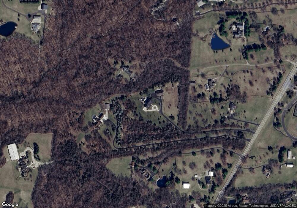
Map
Nearby Homes
- 7259 State Route 48
- 7777 State Route 48
- 441 Ohio 73
- 441 East St Unit 73
- 710 White Cedar Way
- 162 E State Route 73
- 0 Voltaire Ct Unit 1863060
- 8234 Voltaire Ct
- 701 Grand Wood Ct
- 8236 Wilde Ct
- 0 White Cedar Way Unit 1818661
- 7402 Silver Lake Dr
- 7412 Larkspur Ct
- 7411 Waterway Dr
- 7345 Waterway Dr
- 7425 Stoneham Cir
- 2566 E Lower Springboro Rd
- Lot 7 Robert's Way
- Lot 8 Robert's Way
- 811 Wind Bluff Point
- 7117 St Rt 48
- 7263 Ohio 48
- 7101 Ohio 48
- 7101 Ohio 48
- 7259 State Route 48
- 7071 Ohio 48
- 7071 State Route 48
- 7071 State Route 48
- 7131 State Route 48
- 7131 State Route 48
- 7131 Ohio 48
- 7101 State Route 48
- 7009 State Route 48
- 6877 State Route 48
- 6877 State Route 48
- 7048 State Route 48
- 6971 State Route 48
- 7000 State Route 48
- 7355 State Route 48
- 6990 State Route 48
Your Personal Tour Guide
Ask me questions while you tour the home.