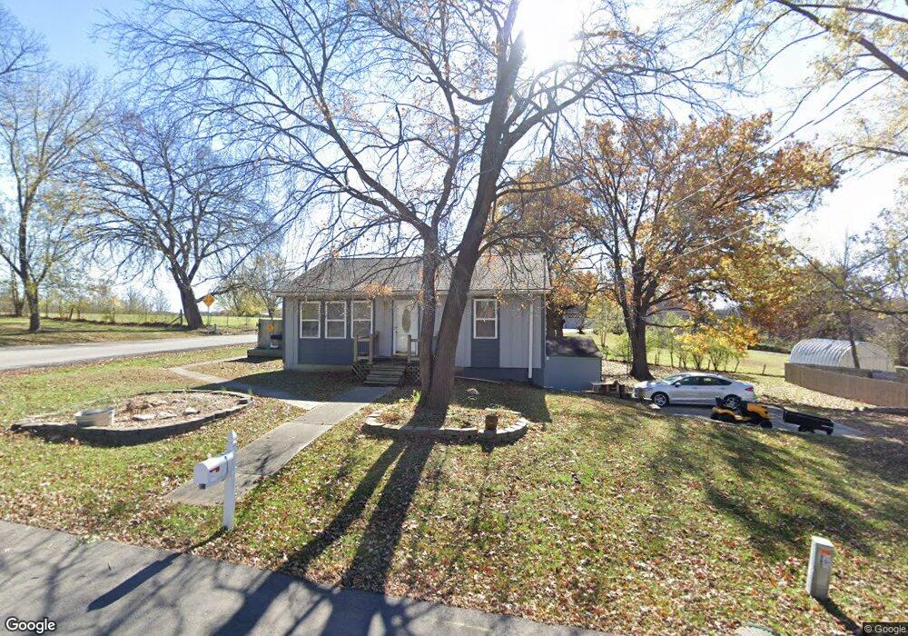
712 E Connie St Lansing, KS 66043
Estimated Value: $192,000 - $223,000
2
Beds
2
Baths
1,472
Sq Ft
$139/Sq Ft
Est. Value
About This Home
This home is located at 712 E Connie St, Lansing, KS 66043 and is currently estimated at $203,948, approximately $138 per square foot. 712 E Connie St is a home located in Leavenworth County with nearby schools including Lansing Elementary School, Lansing Middle 6-8, and Lansing High 9-12.
Ownership History
Date
Name
Owned For
Owner Type
Purchase Details
Closed on
Dec 1, 1998
Bought by
Mancil King A and King Barbara A
Current Estimated Value
Home Financials for this Owner
Home Financials are based on the most recent Mortgage that was taken out on this home.
Original Mortgage
$17,000
Interest Rate
6.44%
Mortgage Type
New Conventional
Create a Home Valuation Report for This Property
The Home Valuation Report is an in-depth analysis detailing your home's value as well as a comparison with similar homes in the area
Home Values in the Area
Average Home Value in this Area
Purchase History
| Date | Buyer | Sale Price | Title Company |
|---|---|---|---|
| Mancil King A | $33,000 | -- |
Source: Public Records
Mortgage History
| Date | Status | Borrower | Loan Amount |
|---|---|---|---|
| Closed | Mancil King A | $17,000 |
Source: Public Records
Tax History
| Year | Tax Paid | Tax Assessment Tax Assessment Total Assessment is a certain percentage of the fair market value that is determined by local assessors to be the total taxable value of land and additions on the property. | Land | Improvement |
|---|---|---|---|---|
| 2025 | $2,140 | $18,778 | $2,238 | $16,540 |
| 2024 | $2,140 | $17,550 | $2,238 | $15,312 |
| 2023 | $2,140 | $16,875 | $2,134 | $14,741 |
| 2022 | $1,855 | $15,342 | $1,921 | $13,421 |
| 2021 | $1,855 | $13,062 | $1,921 | $11,141 |
| 2020 | $1,677 | $11,651 | $1,921 | $9,730 |
| 2019 | $1,607 | $11,161 | $1,921 | $9,240 |
| 2018 | $1,439 | $10,030 | $1,921 | $8,109 |
| 2017 | $1,343 | $9,363 | $1,921 | $7,442 |
| 2016 | $1,330 | $9,270 | $1,921 | $7,349 |
| 2015 | $1,326 | $9,270 | $1,921 | $7,349 |
| 2014 | $1,298 | $9,270 | $1,921 | $7,349 |
Source: Public Records
Map
Nearby Homes
- 1100 N 4th St
- 1102 N 4th St
- 134 Debra St
- 1102 N Main St
- 114 Emile St
- 4 Eisenhower Rd
- 900 Oakmont Dr
- 00000 Brookwood St
- 218 E Kay St
- 1017 Pebble Beach Dr
- 1101 Pebble Beach Dr
- 124 S Main St
- 202 S Main St
- 20958 Ida St
- 215 E Mary St
- 530 Holiday Ct
- 950 Holiday Dr
- Lot 2 Eisenhower Rd
- 130 Hampton Ct
- 704 Highland Dr
- 706 E Connie St
- 598 E Beth St
- 1001 N 8th St
- 901 N 8th St
- 709 E Connie St
- 707 E Connie St
- 705 E Connie St
- 710 E Carol St
- 700 E Connie St
- 706 E Carol St
- 701 E Connie St
- 700 E Carol St
- 608 E Connie St
- 1008 N 8th St
- 711 E Carol St
- 713 E Carol St
- 607 E Connie St
- 707 E Carol St
- 900 N 8th St
- 703 E Carol St
Your Personal Tour Guide
Ask me questions while you tour the home.