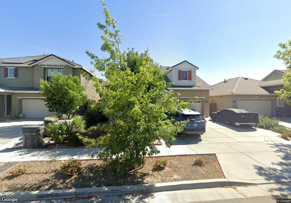
712 Open Range Ave Lathrop, CA 95330
Estimated Value: $614,000 - $679,000
4
Beds
3
Baths
2,192
Sq Ft
$292/Sq Ft
Est. Value
About This Home
This home is located at 712 Open Range Ave, Lathrop, CA 95330 and is currently estimated at $640,220, approximately $292 per square foot. 712 Open Range Ave is a home located in San Joaquin County with nearby schools including Mossdale Elementary School, Lathrop High School, and River Island School of Technology.
Ownership History
Date
Name
Owned For
Owner Type
Purchase Details
Closed on
Nov 20, 2015
Sold by
Woodside 05N Lp
Bought by
Villena Armando L and Villena Elenita A
Current Estimated Value
Home Financials for this Owner
Home Financials are based on the most recent Mortgage that was taken out on this home.
Original Mortgage
$355,874
Outstanding Balance
$280,292
Interest Rate
3.83%
Mortgage Type
New Conventional
Estimated Equity
$359,928
Create a Home Valuation Report for This Property
The Home Valuation Report is an in-depth analysis detailing your home's value as well as a comparison with similar homes in the area
Purchase History
| Date | Buyer | Sale Price | Title Company |
|---|---|---|---|
| Villena Armando L | $375,000 | Placer Title Company |
Source: Public Records
Mortgage History
| Date | Status | Borrower | Loan Amount |
|---|---|---|---|
| Open | Villena Armando L | $355,874 |
Source: Public Records
Tax History
| Year | Tax Paid | Tax Assessment Tax Assessment Total Assessment is a certain percentage of the fair market value that is determined by local assessors to be the total taxable value of land and additions on the property. | Land | Improvement |
|---|---|---|---|---|
| 2025 | $7,768 | $443,448 | $155,074 | $288,374 |
| 2024 | $7,580 | $434,754 | $152,034 | $282,720 |
| 2023 | $7,408 | $426,230 | $149,053 | $277,177 |
| 2022 | $7,434 | $417,874 | $146,131 | $271,743 |
| 2021 | $7,295 | $409,681 | $143,266 | $266,415 |
| 2020 | $7,088 | $405,481 | $141,797 | $263,684 |
| 2019 | $6,995 | $397,531 | $139,017 | $258,514 |
| 2018 | $6,895 | $389,738 | $136,292 | $253,446 |
| 2017 | $6,795 | $382,097 | $133,620 | $248,477 |
| 2016 | $6,663 | $374,605 | $131,000 | $243,605 |
| 2015 | $3,065 | $81,719 | $81,719 | $0 |
Source: Public Records
Map
Nearby Homes
- 660 Bramblewood Ave
- 17753 Wheat Field St
- 17125 Laurel Oak Ln
- 17791 Farm House Rd
- 523 Danbury Place
- 17385 Stone Celler Way
- 274 Crescent Moon Dr
- 323 Autumn Rain Dr
- 17359 Stone Celler Way
- 17837 Moonstone Way
- 17859 Moonstone Way
- 17881 Moonstone Way
- 17903 Moonstone Way
- 17925 Moonstone Way
- 17854 Moonstone Way
- 17898 Moonstone Way
- 17920 Moonstone Way
- 17942 Moonstone Way
- 17964 Moonstone Way
- 329 Emory Oak Place
- 700 Open Range Ave
- 724 Open Range Ave
- 713 Pasture Ave
- 703 Pasture Ave
- 725 Pasture Ave
- 737 Pasture Ave
- 748 Open Range Ave
- 692 Open Range Ave
- 749 Pasture Ave
- 693 Pasture Ave
- 752 Open Range Ave
- 751 Pasture Ave
- 678 Open Range Ave
- 712 Pasture Ave
- 764 Open Range Ave
- 677 Pasture Ave
- 702 Pasture Ave
- 724 Pasture Ave
- 736 Pasture Ave
- 763 Pasture Ave
Your Personal Tour Guide
Ask me questions while you tour the home.