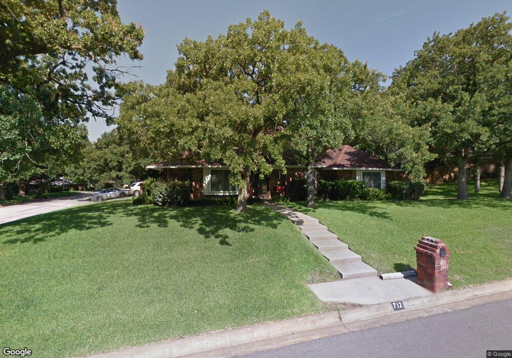
712 Pennsylvania Dr Denton, TX 76205
South Denton NeighborhoodEstimated Value: $570,678 - $636,000
4
Beds
3
Baths
3,772
Sq Ft
$161/Sq Ft
Est. Value
About This Home
This home is located at 712 Pennsylvania Dr, Denton, TX 76205 and is currently estimated at $605,670, approximately $160 per square foot. 712 Pennsylvania Dr is a home located in Denton County with nearby schools including Houston Elementary School, McMath Middle School, and Denton High School.
Ownership History
Date
Name
Owned For
Owner Type
Purchase Details
Closed on
Sep 4, 2015
Sold by
Mcconnell Lynelle C
Bought by
Hamm Carla A
Current Estimated Value
Purchase Details
Closed on
Oct 25, 2013
Sold by
Jones James and Jones Valista
Bought by
Mcconnell Lynelle C
Purchase Details
Closed on
Feb 25, 2005
Sold by
Buchanan James H and Buchanan Tamara A
Bought by
Jones James and Jones Valista
Purchase Details
Closed on
Sep 15, 1998
Sold by
Thomas Albert D and Thomas Gail E
Bought by
Buchanan James H and Buchanan Tamara A
Home Financials for this Owner
Home Financials are based on the most recent Mortgage that was taken out on this home.
Original Mortgage
$136,000
Interest Rate
6.8%
Purchase Details
Closed on
Sep 27, 1993
Sold by
Hamilton James S and Burmeister George Christian
Bought by
Thomas Albert D and Thomas Gail E
Home Financials for this Owner
Home Financials are based on the most recent Mortgage that was taken out on this home.
Original Mortgage
$132,451
Interest Rate
6.93%
Create a Home Valuation Report for This Property
The Home Valuation Report is an in-depth analysis detailing your home's value as well as a comparison with similar homes in the area
Home Values in the Area
Average Home Value in this Area
Purchase History
| Date | Buyer | Sale Price | Title Company |
|---|---|---|---|
| Hamm Carla A | -- | Freedom Title | |
| Mcconnell Lynelle C | -- | Freedom Title | |
| Jones James | -- | -- | |
| Buchanan James H | -- | -- | |
| Thomas Albert D | -- | -- |
Source: Public Records
Mortgage History
| Date | Status | Borrower | Loan Amount |
|---|---|---|---|
| Previous Owner | Buchanan James H | $136,000 | |
| Previous Owner | Thomas Albert D | $132,451 |
Source: Public Records
Tax History Compared to Growth
Tax History
| Year | Tax Paid | Tax Assessment Tax Assessment Total Assessment is a certain percentage of the fair market value that is determined by local assessors to be the total taxable value of land and additions on the property. | Land | Improvement |
|---|---|---|---|---|
| 2025 | $8,484 | $580,800 | $99,671 | $482,818 |
| 2024 | $10,191 | $528,000 | $99,671 | $428,329 |
| 2023 | $8,044 | $484,000 | $96,632 | $442,368 |
| 2022 | $9,340 | $440,000 | $87,945 | $422,055 |
| 2021 | $8,892 | $400,000 | $58,630 | $341,370 |
| 2020 | $9,279 | $405,955 | $58,630 | $359,016 |
| 2019 | $8,806 | $369,050 | $58,630 | $360,510 |
| 2018 | $8,105 | $335,500 | $58,630 | $280,370 |
| 2017 | $7,539 | $305,000 | $58,630 | $246,370 |
| 2016 | $7,316 | $296,000 | $58,630 | $237,370 |
| 2015 | $4,196 | $279,765 | $58,630 | $248,719 |
| 2014 | $4,196 | $254,332 | $54,526 | $199,806 |
| 2013 | -- | $205,910 | $54,526 | $151,384 |
Source: Public Records
Map
Nearby Homes
- 1000 Lynhurst Ln
- 916 Smokerise Cir
- 829 Skylark Dr
- 1012 Indian Ridge Dr
- 2226 Savannah Trail
- 821 Sandpiper Dr
- 824 Sandpiper Dr
- 924 Ridgecrest Cir
- 816 Chapel Dr
- 2216 Jefferson Trail
- 720 Smokerise Cir
- 1108 Ellison Park Cir
- 2253 Hollyhill Ln
- 2012 Hollyhill Ln
- 2272 Hollyhill Ln
- 2218 Southridge Dr
- 2120 Fairfax Rd
- 2009 Lake Fork Ct
- 209 Pennsylvania Dr
- 2100 Fairfax Rd
- 708 Pennsylvania Dr
- 1001 Lynhurst Ln
- 1004 Lynhurst Ln
- 2229 Pembrooke Place
- 709 Pennsylvania Dr
- 705 Pennsylvania Dr
- 704 Pennsylvania Dr
- 1100 Lynhurst Ln
- 2225 Pembrooke Place
- 910 Lynhurst Ln
- 1009 Skylark Dr
- 905 Lynhurst Ln
- 1005 Skylark Dr
- 701 Pennsylvania Dr
- 2224 Pembrooke Place
- 1001 Skylark Dr
- 1101 Skylark Dr
- 616 Tennyson Trail
- 1104 Lynhurst Ln
- 2224 Woodbrook St