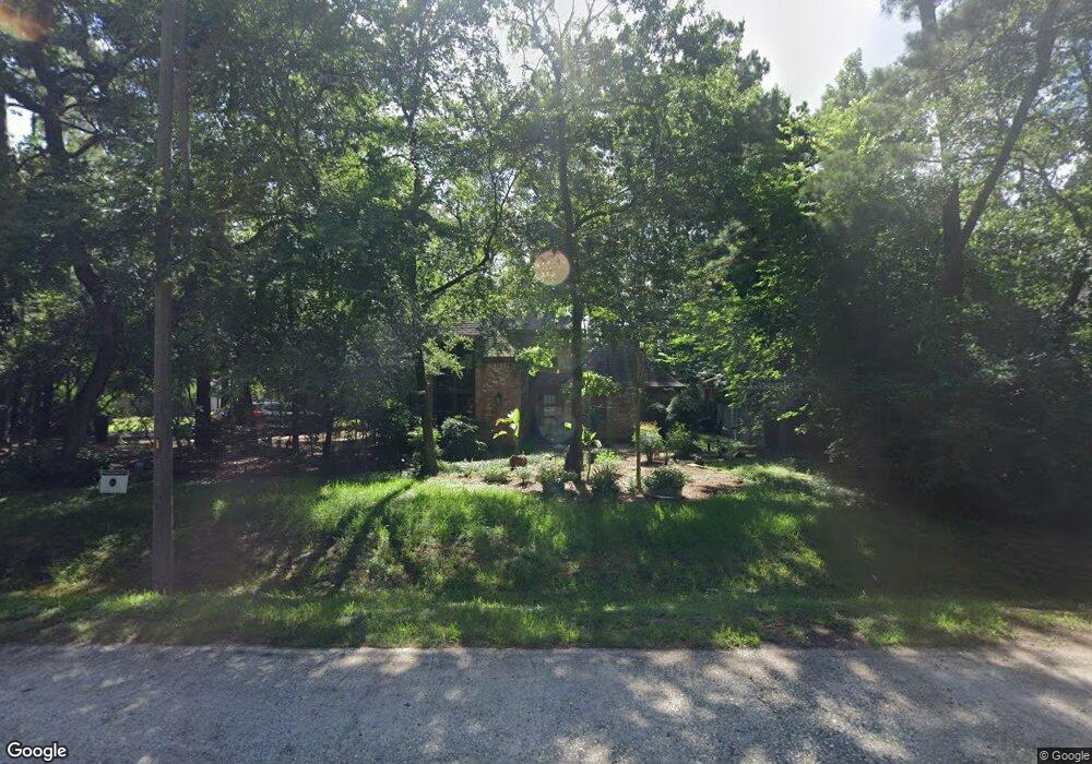
712 S Millbend Dr Spring, TX 77380
Grogan's Mill NeighborhoodEstimated Value: $399,586 - $554,000
Studio
3
Baths
2,216
Sq Ft
$212/Sq Ft
Est. Value
About This Home
This home is located at 712 S Millbend Dr, Spring, TX 77380 and is currently estimated at $470,147, approximately $212 per square foot. 712 S Millbend Dr is a home located in Montgomery County with nearby schools including Lamar Elementary School, W.D Wilkerson Intermediate School, and Knox J High School.
Ownership History
Date
Name
Owned For
Owner Type
Purchase Details
Closed on
Dec 9, 2014
Sold by
Wert Jack L and Wert Barbara R
Bought by
Scutti Stump Fernando Viegas and Scutti Santos Helade
Current Estimated Value
Home Financials for this Owner
Home Financials are based on the most recent Mortgage that was taken out on this home.
Original Mortgage
$230,850
Outstanding Balance
$75,611
Interest Rate
3.21%
Mortgage Type
New Conventional
Estimated Equity
$394,536
Create a Home Valuation Report for This Property
The Home Valuation Report is an in-depth analysis detailing your home's value as well as a comparison with similar homes in the area
Home Values in the Area
Average Home Value in this Area
Purchase History
| Date | Buyer | Sale Price | Title Company |
|---|---|---|---|
| Scutti Stump Fernando Viegas | -- | First American Title |
Source: Public Records
Mortgage History
| Date | Status | Borrower | Loan Amount |
|---|---|---|---|
| Open | Scutti Stump Fernando Viegas | $230,850 |
Source: Public Records
Tax History
| Year | Tax Paid | Tax Assessment Tax Assessment Total Assessment is a certain percentage of the fair market value that is determined by local assessors to be the total taxable value of land and additions on the property. | Land | Improvement |
|---|---|---|---|---|
| 2025 | $4,373 | $349,375 | $60,000 | $289,375 |
| 2024 | $3,896 | $334,334 | -- | -- |
| 2023 | $3,896 | $303,940 | $60,000 | $272,490 |
| 2022 | $5,192 | $276,310 | $60,000 | $244,640 |
| 2021 | $5,044 | $251,190 | $15,380 | $235,810 |
| 2020 | $4,932 | $234,510 | $15,380 | $219,130 |
| 2019 | $5,003 | $229,840 | $15,380 | $214,460 |
| 2018 | $4,630 | $240,040 | $15,380 | $224,660 |
| 2017 | $5,297 | $240,120 | $15,380 | $224,740 |
| 2016 | $5,101 | $231,240 | $15,380 | $215,860 |
| 2015 | $2,160 | $249,780 | $15,380 | $234,400 |
| 2014 | $2,160 | $168,200 | $15,380 | $157,110 |
Source: Public Records
Map
Nearby Homes
- 46 Rolling Links Ct
- 49 Rolling Links Ct
- 67 Woodhaven Wood Dr
- 2 Rolling Mill Ln
- 26610 Oak Ridge Dr
- 13 Woodhaven Wood Dr
- 3306 Old Ironwood Dr
- 17 Brookflower Rd
- 26522 Hillside Dr
- 26 Wishbonebush Rd
- 1 Green Blade Ln
- 2 Kittiwake Ct
- 426 Nursery Rd
- 186 Spring Pines Dr
- 203 Ridgewood Dr
- 424 Nursery Rd
- 2 Chatterbird Ln
- 222 Ridgewood Dr
- 25657 Interstate 45
- 504 Nursery Rd Unit 2210
- 2 Brushwood Ct
- 6 Brushwood Ct
- 79 Woodhaven Wood Dr
- 83 Woodhaven Wood Dr
- 48 Rolling Links Ct
- 10 Brushwood Ct
- 50 Rolling Links Ct
- 75 Woodhaven Wood Dr
- 14 Brushwood Ct
- 54 Rolling Links Ct
- 704 S Millbend Dr
- 88 Woodhaven Wood Dr
- 84 Woodhaven Wood Dr
- 800 S Millbend Dr
- 71 Woodhaven Wood Dr
- 80 Woodhaven Wood Dr
- 9 Brushwood Ct
- 1 Summer Sprig Rd
- 76 Woodhaven Wood Dr
- 18 Brushwood Ct
Your Personal Tour Guide
Ask me questions while you tour the home.