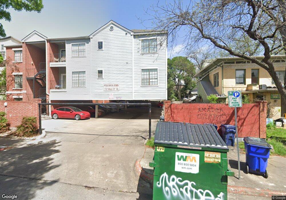
712 W 21st St Unit 204 Austin, TX 78705
West Campus NeighborhoodEstimated Value: $309,931 - $372,000
2
Beds
2
Baths
875
Sq Ft
$397/Sq Ft
Est. Value
About This Home
This home is located at 712 W 21st St Unit 204, Austin, TX 78705 and is currently estimated at $346,983, approximately $396 per square foot. 712 W 21st St Unit 204 is a home located in Travis County with nearby schools including Bryker Woods Elementary School, Austin High School, and University High School.
Ownership History
Date
Name
Owned For
Owner Type
Purchase Details
Closed on
Apr 28, 2010
Sold by
Stratz Richard J and Stratz Ann Marie
Bought by
Truong Dat H and Truong Diep
Current Estimated Value
Purchase Details
Closed on
Mar 16, 2006
Sold by
Hutson Miles
Bought by
Stratz Richard J
Home Financials for this Owner
Home Financials are based on the most recent Mortgage that was taken out on this home.
Original Mortgage
$119,200
Interest Rate
6.19%
Mortgage Type
Fannie Mae Freddie Mac
Create a Home Valuation Report for This Property
The Home Valuation Report is an in-depth analysis detailing your home's value as well as a comparison with similar homes in the area
Home Values in the Area
Average Home Value in this Area
Purchase History
| Date | Buyer | Sale Price | Title Company |
|---|---|---|---|
| Truong Dat H | -- | Chicago Title Insurance Co | |
| Stratz Richard J | -- | Texas American Title Company |
Source: Public Records
Mortgage History
| Date | Status | Borrower | Loan Amount |
|---|---|---|---|
| Previous Owner | Stratz Richard J | $119,200 |
Source: Public Records
Tax History Compared to Growth
Tax History
| Year | Tax Paid | Tax Assessment Tax Assessment Total Assessment is a certain percentage of the fair market value that is determined by local assessors to be the total taxable value of land and additions on the property. | Land | Improvement |
|---|---|---|---|---|
| 2025 | $6,305 | $310,679 | $152,393 | $158,286 |
| 2023 | $6,040 | $333,856 | $152,393 | $181,463 |
| 2022 | $5,809 | $294,161 | $762 | $293,399 |
| 2021 | $6,806 | $312,668 | $76,196 | $236,472 |
| 2020 | $6,038 | $281,500 | $76,196 | $205,304 |
| 2018 | $5,734 | $259,000 | $76,196 | $182,804 |
| 2017 | $6,142 | $275,390 | $772 | $274,618 |
| 2016 | $5,207 | $233,502 | $772 | $232,730 |
| 2015 | $4,469 | $203,615 | $77,212 | $126,403 |
| 2014 | $4,469 | $187,807 | $772 | $187,035 |
Source: Public Records
Map
Nearby Homes
- 711 W 21st St Unit 203
- 2110 Rio Grande St Unit 107
- 706 W 22nd St Unit 204
- 1905 San Gabriel St Unit 204
- 1905 San Gabriel St Unit 105
- 715 W 22 1 2 St Unit 101
- 1812 West Ave Unit 302
- 1812 West Ave Unit 306
- 912 W 22nd St Unit 201
- 1806 Pearl St
- 1808 Rio Grande St Unit 10
- 906 W 18th St
- 914 W 22nd 1 2 St Unit 304
- 1910 Robbins Place Unit 301
- 1910 Robbins Place Unit 207
- 2207 Leon St Unit 205
- 2216 San Gabriel St Unit 105
- 2216 San Gabriel St Unit 108
- 1818 Vance Cir
- 2311 Nueces St Unit 303
- 712 W 21st St Unit 305
- 712 W 21st St Unit 304
- 712 W 21st St Unit 303
- 712 W 21st St Unit 302
- 712 W 21st St Unit 301
- 712 W 21st St Unit 205
- 712 W 21st St Unit 203
- 712 W 21st St Unit 201
- 712 W 21st St Unit 102
- 712 W 21st St Unit 101
- 2105 Pearl St
- 711 W 21st St Unit 304
- 711 W 21st St Unit 303
- 711 W 21st St Unit 302
- 711 W 21st St Unit 301
- 711 W 21st St Unit 206
- 711 W 21st St Unit 205
- 711 W 21st St Unit 204
- 711 W 21st St Unit 202
- 711 W 21st St Unit 201