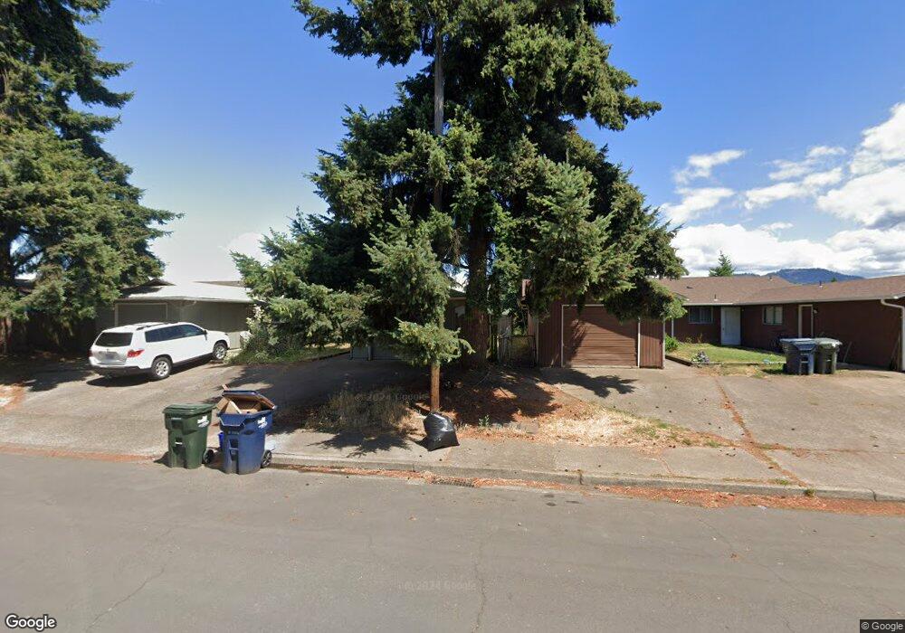
712 W Quinalt St Springfield, OR 97477
West Springfield NeighborhoodEstimated Value: $421,000 - $476,000
6
Beds
4
Baths
2,090
Sq Ft
$213/Sq Ft
Est. Value
About This Home
This home is located at 712 W Quinalt St, Springfield, OR 97477 and is currently estimated at $444,626, approximately $212 per square foot. 712 W Quinalt St is a home located in Lane County with nearby schools including Centennial Elementary School, Hamlin Middle School, and Springfield High School.
Ownership History
Date
Name
Owned For
Owner Type
Purchase Details
Closed on
Jun 4, 2020
Sold by
Clarke Paul J and Clarke Karen J
Bought by
Clarke Paul J and Paul J Clarke Trust
Current Estimated Value
Purchase Details
Closed on
Jun 5, 1998
Sold by
Ann Sorric Mary
Bought by
Clarke Paul J and Clarke Karen J
Home Financials for this Owner
Home Financials are based on the most recent Mortgage that was taken out on this home.
Original Mortgage
$96,000
Outstanding Balance
$18,335
Interest Rate
7.17%
Estimated Equity
$426,291
Create a Home Valuation Report for This Property
The Home Valuation Report is an in-depth analysis detailing your home's value as well as a comparison with similar homes in the area
Home Values in the Area
Average Home Value in this Area
Purchase History
| Date | Buyer | Sale Price | Title Company |
|---|---|---|---|
| Clarke Paul J | -- | None Available | |
| Clarke Paul J | $120,000 | Cascade Title Co |
Source: Public Records
Mortgage History
| Date | Status | Borrower | Loan Amount |
|---|---|---|---|
| Open | Clarke Paul J | $96,000 |
Source: Public Records
Tax History Compared to Growth
Tax History
| Year | Tax Paid | Tax Assessment Tax Assessment Total Assessment is a certain percentage of the fair market value that is determined by local assessors to be the total taxable value of land and additions on the property. | Land | Improvement |
|---|---|---|---|---|
| 2025 | $4,145 | $226,044 | -- | -- |
| 2024 | $4,078 | $219,461 | -- | -- |
| 2023 | $4,078 | $213,069 | $0 | $0 |
| 2022 | $3,777 | $206,864 | $0 | $0 |
| 2021 | $3,709 | $200,839 | $0 | $0 |
| 2020 | $3,601 | $194,990 | $0 | $0 |
| 2019 | $3,493 | $189,311 | $0 | $0 |
| 2018 | $3,292 | $178,445 | $0 | $0 |
| 2017 | $3,166 | $178,445 | $0 | $0 |
| 2016 | $3,099 | $173,248 | $0 | $0 |
| 2015 | $2,992 | $168,202 | $0 | $0 |
| 2014 | $2,920 | $163,303 | $0 | $0 |
Source: Public Records
Map
Nearby Homes
- 804 W N St
- 872 W N St
- 484 Scotts Glen Dr
- 1120 W Fairview Dr Unit 3
- 364 Scotts Glen Dr
- 436 W M St
- 1310 W Quinalt St
- 428 W Centennial Blvd
- 2150 Laura St Unit 119
- 2150 Laura St Unit 111
- 2150 Laura St Unit 39
- 2150 Laura St Unit 57
- 2150 Laura St Unit 83
- 2150 Laura St Unit 44
- 2150 Laura (#57) St Unit 57
- 952 Summit Blvd
- 930 Prescott Ln
- 650 Harlow Rd Unit 209
- 650 Harlow Rd Unit 233
- 650 Harlow Rd Unit 240
- 684 W Quinalt St
- 724 W Quinalt St
- 674 W Quinalt St
- 672 W Quinalt St
- 732 W Quinalt St
- 733 W Quinalt St
- 664 W Quinalt St
- 754 W Quinalt St
- 681 W Quinalt St
- 725 W Quinalt St
- 755 W Quinalt St
- 776 W Quinalt St
- 687 W Quinalt St
- 652 W Quinalt St
- 776 W Quinalt St
- 721 W Quinalt St
- 677 W Quinalt St
- 1741 Rainbow Loop
- 1733 Rainbow Loop
- 786 W Quinalt St