7120 E Moonlit Dr Prescott Valley, AZ 86315
Estimated Value: $790,509 - $827,000
3
Beds
3
Baths
2,500
Sq Ft
$320/Sq Ft
Est. Value
About This Home
This home is located at 7120 E Moonlit Dr, Prescott Valley, AZ 86315 and is currently estimated at $800,377, approximately $320 per square foot. 7120 E Moonlit Dr is a home located in Yavapai County with nearby schools including Coyote Springs Elementary School, Bradshaw Mountain Middle School, and Bradshaw Mountain High School.
Ownership History
Date
Name
Owned For
Owner Type
Purchase Details
Closed on
Mar 28, 2007
Sold by
Lizza Louis P and Lizza Paula M
Bought by
Gosik Keith S and Gosik Leslie A
Current Estimated Value
Home Financials for this Owner
Home Financials are based on the most recent Mortgage that was taken out on this home.
Original Mortgage
$339,600
Outstanding Balance
$205,895
Interest Rate
6.2%
Mortgage Type
New Conventional
Estimated Equity
$594,482
Purchase Details
Closed on
Jul 8, 2005
Sold by
Brennan Sean T and Brennan Eleanor
Bought by
Lizza Louis P and Lizza Paula M
Purchase Details
Closed on
Mar 18, 2002
Sold by
Moxley Theodore P and Moxley Jo Ann
Bought by
Brennan Sean T and Brennan Eleanor
Home Financials for this Owner
Home Financials are based on the most recent Mortgage that was taken out on this home.
Original Mortgage
$27,000
Interest Rate
6.85%
Mortgage Type
Seller Take Back
Create a Home Valuation Report for This Property
The Home Valuation Report is an in-depth analysis detailing your home's value as well as a comparison with similar homes in the area
Home Values in the Area
Average Home Value in this Area
Purchase History
| Date | Buyer | Sale Price | Title Company |
|---|---|---|---|
| Gosik Keith S | $424,500 | Yavapai Title Agency | |
| Lizza Louis P | $389,000 | Capital Title Agency | |
| Brennan Sean T | $30,000 | First American Title |
Source: Public Records
Mortgage History
| Date | Status | Borrower | Loan Amount |
|---|---|---|---|
| Open | Gosik Keith S | $339,600 | |
| Previous Owner | Brennan Sean T | $27,000 |
Source: Public Records
Tax History Compared to Growth
Tax History
| Year | Tax Paid | Tax Assessment Tax Assessment Total Assessment is a certain percentage of the fair market value that is determined by local assessors to be the total taxable value of land and additions on the property. | Land | Improvement |
|---|---|---|---|---|
| 2026 | $3,397 | $65,432 | -- | -- |
| 2024 | $3,114 | $70,878 | -- | -- |
| 2023 | $3,114 | $58,247 | $5,720 | $52,527 |
| 2022 | $3,063 | $47,658 | $4,564 | $43,094 |
| 2021 | $3,200 | $43,203 | $4,520 | $38,683 |
| 2020 | $3,076 | $0 | $0 | $0 |
| 2019 | $3,038 | $0 | $0 | $0 |
| 2018 | $2,888 | $0 | $0 | $0 |
| 2017 | $2,832 | $0 | $0 | $0 |
| 2016 | $2,736 | $0 | $0 | $0 |
| 2015 | $2,696 | $0 | $0 | $0 |
| 2014 | $2,605 | $0 | $0 | $0 |
Source: Public Records
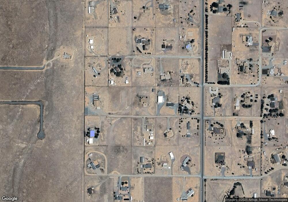
Map
Nearby Homes
- 6881 E Bourbon Way
- 7225 E Trottin Down Rd
- 10450 N Poquito Valley Rd
- 10250 N Steel Rd
- 10550 N Poquito Valley Rd
- 6820 E Wade Ln
- 6850 E Wade Ln
- 9660 N Antelope Meadows Dr
- 104XX N Horsepower Dr Unit 5
- 10682 Steel Rd
- 6993 E Big Sky Trail
- 6749 E Asher Trail
- 9240 N Charity Ct
- 001 Unnamed Rd
- 7594 E Last Way Trail
- 7594 E Last Way Trail Unit 19
- 11025 N Ohana Ln
- 000 N McWorter Pl Parcel C
- 6542 E Asher Trail
- 8943 N Pacific Park Dr
- 7170 E Moonlit Dr
- 7125 E Moonlit Dr
- 0 E Esteem Way Unit 993780
- 0 E Esteem Way Unit 979467
- 7095 E Esteem Way
- 7225 E Esteem Way
- 7175 E Moonlit Dr
- 7220 E Moonlit Dr
- 10150 N Poquito Valley Rd
- 7020 E Moonlit Dr
- 0000 E Esteem Way Unit 29
- 9900 N Poquito Valley Rd
- Off E Esteem Way
- 7045 E Esteem Way
- 7120 E Esteem Way
- 7130 E Knobby Ln
- 0 Sparrow Hawk
- 7240 E Esteem Way
- 9800 N Poquito Valley Rd