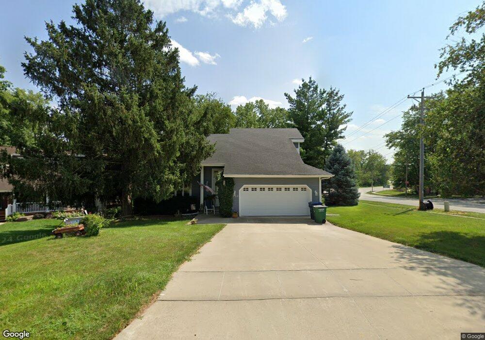
7120 Sheridan Ave Urbandale, IA 50322
Estimated Value: $311,566 - $329,000
3
Beds
2
Baths
1,533
Sq Ft
$209/Sq Ft
Est. Value
About This Home
This home is located at 7120 Sheridan Ave, Urbandale, IA 50322 and is currently estimated at $320,142, approximately $208 per square foot. 7120 Sheridan Ave is a home located in Polk County with nearby schools including Indian Hills Junior High School, Valley Southwoods Freshman High School, and Valley High School.
Ownership History
Date
Name
Owned For
Owner Type
Purchase Details
Closed on
May 14, 2003
Sold by
Parker John Charles and Parker Rebecca A
Bought by
Bliss William W and Krueger Shannon J
Current Estimated Value
Home Financials for this Owner
Home Financials are based on the most recent Mortgage that was taken out on this home.
Original Mortgage
$152,000
Outstanding Balance
$65,921
Interest Rate
5.88%
Mortgage Type
Purchase Money Mortgage
Estimated Equity
$254,221
Create a Home Valuation Report for This Property
The Home Valuation Report is an in-depth analysis detailing your home's value as well as a comparison with similar homes in the area
Home Values in the Area
Average Home Value in this Area
Purchase History
| Date | Buyer | Sale Price | Title Company |
|---|---|---|---|
| Bliss William W | $189,500 | -- |
Source: Public Records
Mortgage History
| Date | Status | Borrower | Loan Amount |
|---|---|---|---|
| Open | Bliss William W | $152,000 |
Source: Public Records
Tax History Compared to Growth
Tax History
| Year | Tax Paid | Tax Assessment Tax Assessment Total Assessment is a certain percentage of the fair market value that is determined by local assessors to be the total taxable value of land and additions on the property. | Land | Improvement |
|---|---|---|---|---|
| 2025 | $3,990 | $298,000 | $90,100 | $207,900 |
| 2024 | $3,990 | $256,600 | $76,800 | $179,800 |
| 2023 | $4,094 | $256,600 | $76,800 | $179,800 |
| 2022 | $4,044 | $216,500 | $66,300 | $150,200 |
| 2021 | $3,850 | $216,500 | $66,300 | $150,200 |
| 2020 | $3,798 | $195,200 | $59,600 | $135,600 |
| 2019 | $3,892 | $195,200 | $59,600 | $135,600 |
| 2018 | $3,762 | $190,800 | $59,100 | $131,700 |
| 2017 | $3,684 | $190,800 | $59,100 | $131,700 |
| 2016 | $3,586 | $182,600 | $55,600 | $127,000 |
| 2015 | $3,586 | $182,600 | $55,600 | $127,000 |
| 2014 | $3,534 | $184,100 | $56,600 | $127,500 |
Source: Public Records
Map
Nearby Homes
- 7100 Holcomb Ave
- 7051 Oak Brook Dr
- 2250 70th St
- 2218 70th St
- 7201 Maple Dr
- 2708 68th St
- 2131 70th St
- 6700 Sheridan Ave
- 1916 74th St
- 3206 68th St
- 2610 Westover Blvd
- 7008 Franklin Ave
- 6808 Timmons Dr
- 6620 Boston Ave
- 8037 Cobblestone Ct
- 7215 Washington Ave
- 3233 68th St
- 8008 Cobblestone Rd
- 8024 Cobblestone Rd
- 8073 Cobblestone Rd
- 7116 Sheridan Ave
- 2601 71st St
- 2600 71st St
- 2605 71st St
- 2604 71st St
- 2609 71st St
- 2416 71st St
- 2608 71st St
- 2613 71st St
- 7109 Holcomb Ave
- 7030 Rocklyn Cir
- 7113 Holcomb Ave
- 0 Creekside Brownstone Unit 7624946-11377046
- 2408 71st St
- 2612 71st St
- 7105 Holcomb Ave
- 7029 Rocklyn Cir
- 2417 71st St
- 2617 71st St
- 7028 Rocklyn Cir