71218 285th Ave Lake City, MN 55041
Estimated Value: $329,000 - $415,000
2
Beds
2
Baths
1,294
Sq Ft
$291/Sq Ft
Est. Value
About This Home
This home is located at 71218 285th Ave, Lake City, MN 55041 and is currently estimated at $377,185, approximately $291 per square foot. 71218 285th Ave is a home located in Wabasha County with nearby schools including Bluff View Elementary School, Lincoln Secondary School, and St. John's Lutheran School.
Ownership History
Date
Name
Owned For
Owner Type
Purchase Details
Closed on
Feb 1, 2006
Sold by
Grimm Patrick A and Grimm Helen J
Bought by
Nellis Robert and Nellis Pamela
Current Estimated Value
Home Financials for this Owner
Home Financials are based on the most recent Mortgage that was taken out on this home.
Original Mortgage
$50,000
Outstanding Balance
$28,315
Interest Rate
6.3%
Mortgage Type
Stand Alone Second
Estimated Equity
$348,871
Create a Home Valuation Report for This Property
The Home Valuation Report is an in-depth analysis detailing your home's value as well as a comparison with similar homes in the area
Home Values in the Area
Average Home Value in this Area
Purchase History
| Date | Buyer | Sale Price | Title Company |
|---|---|---|---|
| Nellis Robert | $250,000 | Rochester Title |
Source: Public Records
Mortgage History
| Date | Status | Borrower | Loan Amount |
|---|---|---|---|
| Open | Nellis Robert | $50,000 | |
| Open | Nellis Robert | $200,000 |
Source: Public Records
Tax History Compared to Growth
Tax History
| Year | Tax Paid | Tax Assessment Tax Assessment Total Assessment is a certain percentage of the fair market value that is determined by local assessors to be the total taxable value of land and additions on the property. | Land | Improvement |
|---|---|---|---|---|
| 2025 | $2,754 | $314,400 | $83,400 | $231,000 |
| 2024 | $2,754 | $340,400 | $104,800 | $235,600 |
| 2023 | $2,534 | $317,700 | $104,800 | $212,900 |
| 2022 | $2,720 | $276,900 | $90,000 | $186,900 |
| 2021 | $2,456 | $270,800 | $90,000 | $180,800 |
| 2020 | $2,408 | $243,000 | $82,400 | $160,600 |
| 2019 | $2,358 | $239,700 | $85,300 | $154,400 |
| 2018 | $2,388 | $232,100 | $85,300 | $146,800 |
| 2017 | $2,314 | $232,400 | $84,700 | $147,700 |
| 2016 | $2,342 | $0 | $0 | $0 |
| 2015 | $2,342 | $0 | $0 | $0 |
| 2012 | $2,438 | $0 | $0 | $0 |
Source: Public Records
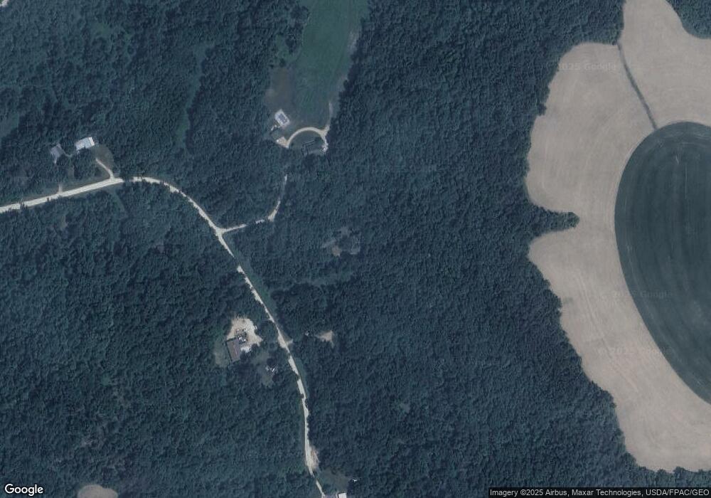
Map
Nearby Homes
- TBD 712th St
- 131 Emerald Lake Dr
- TBD 3 708th St
- 26884 709th St
- 30150 715th St
- 1329 S Oak St
- 200 E Michigan St Unit 5
- 1300 S Lakeshore Dr Unit A3
- 1134 Valley View Rd
- 913 Valley View Rd
- 1036 Lilac Ln
- TBD T-511
- 916 S Oak St
- 820 S 6th St
- 900 S Lakeshore Dr Unit 108
- 802 S Garden St
- 611 W Lyon Ave
- 118 Medinah Cir E
- 200 Winged Foot Cir
- 308 W Lyon Ave
- 71258 285th Ave
- TBD 712
- 28451 712th St
- 28619 712th St
- 28400 712th St
- 28702 712th St
- xxx 712th St
- xxx Handshaw Coulee Rd
- 71867 Highway 61
- 71867 Highway 61
- 71867 Highway 61
- 71867 Highway 61
- 71867 Highway 61
- 71867 Highway 61
- 71867 Highway 61
- 71528 County Road 4
- TBD Prairie Hill Dr
- 300 Handshaw Coulee Rd
- 29393 714th St
- 71863 Highway 61