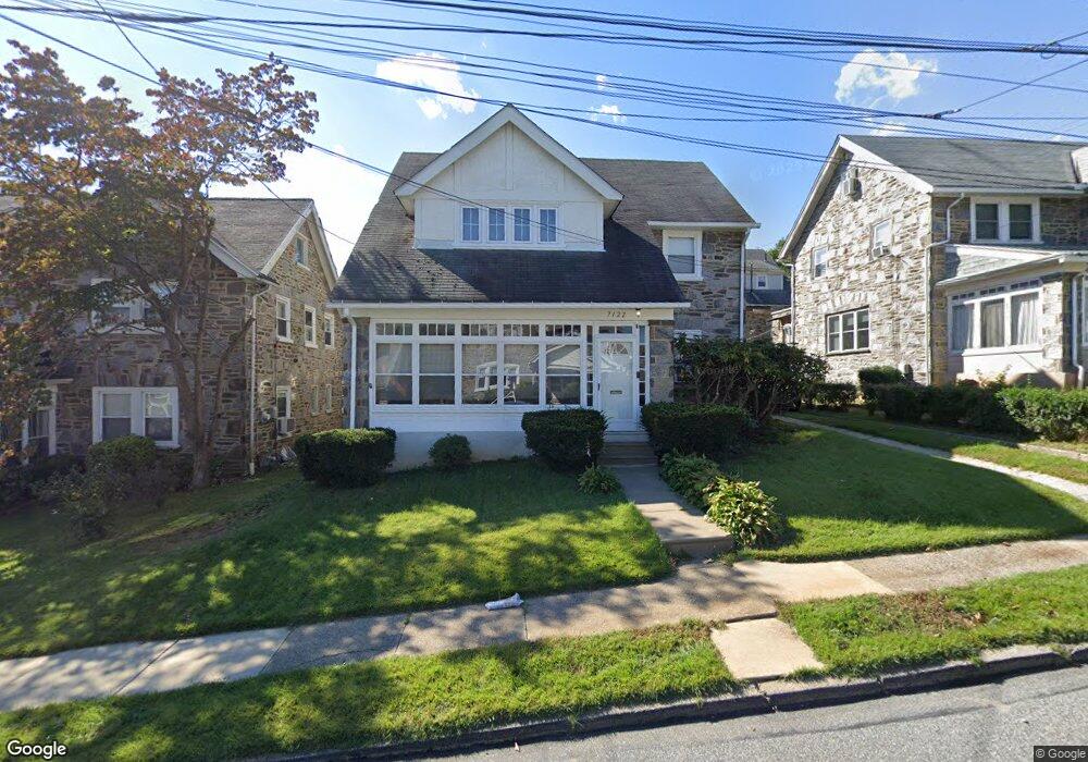
7122 Penarth Ave Upper Darby, PA 19082
Estimated Value: $361,829 - $449,000
4
Beds
1
Bath
2,478
Sq Ft
$167/Sq Ft
Est. Value
About This Home
This home is located at 7122 Penarth Ave, Upper Darby, PA 19082 and is currently estimated at $414,457, approximately $167 per square foot. 7122 Penarth Ave is a home located in Delaware County with nearby schools including Upper Darby Kdg Center, Drexel Hill Middle School, and Upper Darby High School.
Ownership History
Date
Name
Owned For
Owner Type
Purchase Details
Closed on
Apr 10, 2015
Sold by
Pressley Joseph A
Bought by
Pressley Joseph A and Pressley Raquel D
Current Estimated Value
Purchase Details
Closed on
Dec 15, 1997
Sold by
Wojnowski Barbara L Salvucci
Bought by
Pressley Joseph A
Home Financials for this Owner
Home Financials are based on the most recent Mortgage that was taken out on this home.
Original Mortgage
$109,140
Outstanding Balance
$18,693
Interest Rate
7.37%
Mortgage Type
VA
Estimated Equity
$395,764
Create a Home Valuation Report for This Property
The Home Valuation Report is an in-depth analysis detailing your home's value as well as a comparison with similar homes in the area
Home Values in the Area
Average Home Value in this Area
Purchase History
| Date | Buyer | Sale Price | Title Company |
|---|---|---|---|
| Pressley Joseph A | -- | None Available | |
| Pressley Joseph A | $107,000 | Commonwealth Land Title Ins |
Source: Public Records
Mortgage History
| Date | Status | Borrower | Loan Amount |
|---|---|---|---|
| Open | Pressley Joseph A | $109,140 |
Source: Public Records
Tax History Compared to Growth
Tax History
| Year | Tax Paid | Tax Assessment Tax Assessment Total Assessment is a certain percentage of the fair market value that is determined by local assessors to be the total taxable value of land and additions on the property. | Land | Improvement |
|---|---|---|---|---|
| 2025 | $7,139 | $168,810 | $39,490 | $129,320 |
| 2024 | $7,139 | $168,810 | $39,490 | $129,320 |
| 2023 | $7,072 | $168,810 | $39,490 | $129,320 |
| 2022 | $6,882 | $168,810 | $39,490 | $129,320 |
| 2021 | $9,279 | $168,810 | $39,490 | $129,320 |
| 2020 | $6,487 | $100,290 | $28,380 | $71,910 |
| 2019 | $6,373 | $100,290 | $28,380 | $71,910 |
| 2018 | $6,300 | $100,290 | $0 | $0 |
| 2017 | $6,136 | $100,290 | $0 | $0 |
| 2016 | $550 | $100,290 | $0 | $0 |
| 2015 | $562 | $100,290 | $0 | $0 |
| 2014 | $550 | $100,290 | $0 | $0 |
Source: Public Records
Map
Nearby Homes
- 7100 Pennsylvania Ave
- 7209 Hilltop Rd
- 7201 Wayne Ave
- 7212 Wayne Ave
- 7000 Penarth Ave
- 367 Margate Rd
- 207 Berbro Ave
- 362 Margate Rd
- 7220 Linwood Ave
- 46 S State Rd
- 318 Margate Rd
- 512 Fairfield Ave
- 632 Merion Ave
- 513 Spruce Ave
- 7325 Miller Ave
- 107 S Keystone Ave
- 258 Margate Rd
- 7281 Walnut St
- 227 Sherbrook Blvd
- 7419 W Chester Pike
- 7124 Penarth Ave
- 7120 Penarth Ave
- 7123 Hazel Ave
- 7125 Hazel Ave
- 7118 Penarth Ave
- 7119 Hazel Ave
- 7123 Penarth Ave
- 7116 Penarth Ave
- 7121 Penarth Ave
- 7125 Penarth Ave
- 1105 S Keystone Ave
- 40-42 S 3rd St
- 6840-44 W Chester Pike Unit A
- L:54-2 Beverly Blvd
- L:54-02 Beverly Blvd
- L:796-0 S State Rd
- XXXX W Chester Pike
- 3834 Crest Rd
- 6780 W Chester Pike
- 6445 W Chester Pike