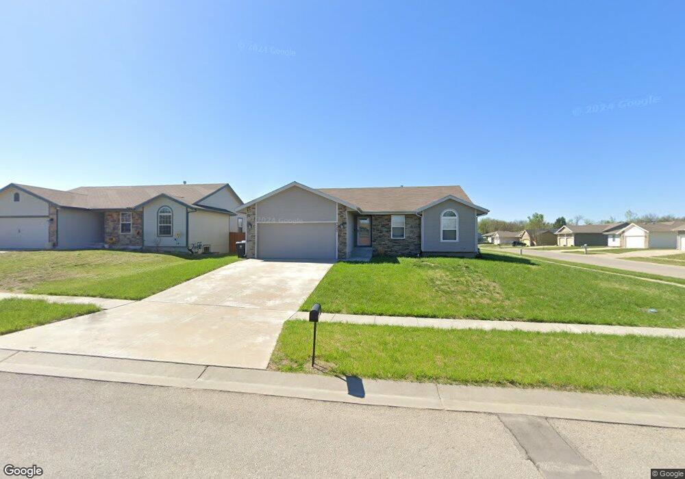
7125 SW 17th St Topeka, KS 66615
Estimated Value: $276,000 - $320,000
4
Beds
3
Baths
2,541
Sq Ft
$121/Sq Ft
Est. Value
About This Home
This home is located at 7125 SW 17th St, Topeka, KS 66615 and is currently estimated at $307,701, approximately $121 per square foot. 7125 SW 17th St is a home located in Shawnee County with nearby schools including Wanamaker Elementary School, Washburn Rural Middle School, and Washburn Rural High School.
Ownership History
Date
Name
Owned For
Owner Type
Purchase Details
Closed on
Nov 29, 2023
Sold by
Indel Corporation
Bought by
Sharon Ann Ybarra Living Trust
Current Estimated Value
Home Financials for this Owner
Home Financials are based on the most recent Mortgage that was taken out on this home.
Original Mortgage
$110,000
Outstanding Balance
$108,219
Interest Rate
7.63%
Mortgage Type
New Conventional
Estimated Equity
$199,482
Purchase Details
Closed on
Nov 28, 2007
Sold by
Indian Hills Land Development Corporatio
Bought by
Indel Corporation
Create a Home Valuation Report for This Property
The Home Valuation Report is an in-depth analysis detailing your home's value as well as a comparison with similar homes in the area
Home Values in the Area
Average Home Value in this Area
Purchase History
| Date | Buyer | Sale Price | Title Company |
|---|---|---|---|
| Sharon Ann Ybarra Living Trust | -- | None Listed On Document | |
| Indel Corporation | -- | Kansas Secured Title |
Source: Public Records
Mortgage History
| Date | Status | Borrower | Loan Amount |
|---|---|---|---|
| Open | Sharon Ann Ybarra Living Trust | $110,000 |
Source: Public Records
Tax History Compared to Growth
Tax History
| Year | Tax Paid | Tax Assessment Tax Assessment Total Assessment is a certain percentage of the fair market value that is determined by local assessors to be the total taxable value of land and additions on the property. | Land | Improvement |
|---|---|---|---|---|
| 2025 | $5,784 | $33,711 | -- | -- |
| 2023 | $5,784 | $29,481 | $0 | $0 |
| 2022 | $4,856 | $26,089 | $0 | $0 |
| 2021 | $4,364 | $22,686 | $0 | $0 |
| 2020 | $4,157 | $21,607 | $0 | $0 |
| 2019 | $4,120 | $20,978 | $0 | $0 |
| 2018 | $3,130 | $20,367 | $0 | $0 |
| 2017 | $1,566 | $895 | $0 | $0 |
| 2014 | $1,518 | $616 | $0 | $0 |
Source: Public Records
Map
Nearby Homes
- 1717 SW Stone Crest Dr
- 1836 SW Urish Rd
- 7639 SW 19th St
- 7237 SW 23rd Ct
- 2240 SW Millers Glen Dr
- 2393 SW Honeysuckle Ln
- 6445 SW 21st Terrace
- 7319 SW 25th Ct
- 2509 SW Staffordshire Rd
- 0000 SW 24th Terrace
- 7225 SW Marian Rd
- 6549 SW 26th Ct
- 2404 SW Brookhaven Ln
- 8001 SW 24th St
- 1010 SW Ottawa Trail
- 2831 SW Bingham Rd
- 7741 SW 26th St
- 2801 SW Windermere Dr
- 2504 SW Kingsrow Rd
- Bridgeport II Plan at Sherwood Park - Sherwood
- 7121 SW 17th St
- 7124 SW 17th Terrace
- 7120 SW 17th Terrace
- 7115 SW 17th St
- 1709 SW Ancaster
- 1715 SW Ancaster
- 7122 SW 17th St
- 1705 SW Ancaster
- 1719 SW Ancaster
- 7114 SW 17th Terrace
- 7118 SW 17th St
- 7109 SW 17th St
- 7112 SW 17th St
- 1725 SW Ancaster
- 7108 SW 17th Terrace
- 7108 SW 17th St
- 7103 SW 17th St
- 1731 SW Ancaster
- 7125 SW 17th Terrace
- 7102 SW 17th Terrace