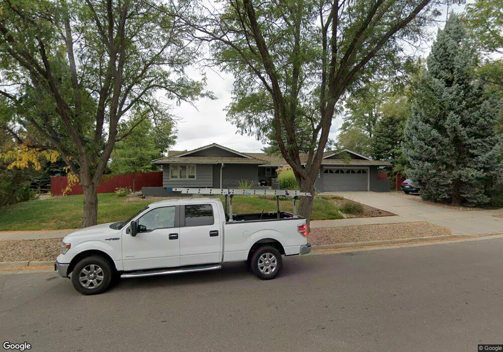
7126 Carter Trail Boulder, CO 80301
Gunbarrel NeighborhoodEstimated Value: $1,055,896 - $1,263,000
4
Beds
3
Baths
3,168
Sq Ft
$357/Sq Ft
Est. Value
About This Home
This home is located at 7126 Carter Trail, Boulder, CO 80301 and is currently estimated at $1,132,224, approximately $357 per square foot. 7126 Carter Trail is a home located in Boulder County with nearby schools including Heatherwood Elementary School, Nevin Platt Middle School, and Boulder High School.
Ownership History
Date
Name
Owned For
Owner Type
Purchase Details
Closed on
Jul 15, 2005
Sold by
Burns Ronald M and Burns Margaret H
Bought by
Clark Catherine H
Current Estimated Value
Home Financials for this Owner
Home Financials are based on the most recent Mortgage that was taken out on this home.
Original Mortgage
$356,000
Outstanding Balance
$185,596
Interest Rate
5.64%
Mortgage Type
Fannie Mae Freddie Mac
Estimated Equity
$946,628
Purchase Details
Closed on
May 27, 1998
Sold by
Burns Ronald M and Burns Margaret H
Bought by
Burns Living Trust
Purchase Details
Closed on
Jan 2, 1972
Bought by
Clark Chris D and Clark Catherine H
Create a Home Valuation Report for This Property
The Home Valuation Report is an in-depth analysis detailing your home's value as well as a comparison with similar homes in the area
Home Values in the Area
Average Home Value in this Area
Purchase History
| Date | Buyer | Sale Price | Title Company |
|---|---|---|---|
| Clark Catherine H | $445,000 | -- | |
| Burns Living Trust | -- | -- | |
| Clark Chris D | $45,900 | -- |
Source: Public Records
Mortgage History
| Date | Status | Borrower | Loan Amount |
|---|---|---|---|
| Open | Clark Catherine H | $356,000 |
Source: Public Records
Tax History Compared to Growth
Tax History
| Year | Tax Paid | Tax Assessment Tax Assessment Total Assessment is a certain percentage of the fair market value that is determined by local assessors to be the total taxable value of land and additions on the property. | Land | Improvement |
|---|---|---|---|---|
| 2025 | $5,293 | $61,094 | $36,056 | $25,038 |
| 2024 | $5,293 | $61,094 | $36,056 | $25,038 |
| 2023 | $5,206 | $57,185 | $40,575 | $20,294 |
| 2022 | $4,837 | $49,540 | $28,961 | $20,579 |
| 2021 | $4,612 | $50,965 | $29,794 | $21,171 |
| 2020 | $4,201 | $45,896 | $26,384 | $19,512 |
| 2019 | $4,137 | $45,896 | $26,384 | $19,512 |
| 2018 | $4,120 | $45,209 | $22,536 | $22,673 |
| 2017 | $3,997 | $49,981 | $24,915 | $25,066 |
| 2016 | $3,533 | $38,765 | $20,696 | $18,069 |
| 2015 | $3,355 | $34,084 | $17,432 | $16,652 |
| 2014 | $3,208 | $34,084 | $17,432 | $16,652 |
Source: Public Records
Map
Nearby Homes
- 7401 Park Cir
- 7302 Island Cir
- 7028 Indian Peaks Trail
- 4697 Tanglewood Trail
- 4667 Ashfield Dr
- 4803 Briar Ridge Ct
- 4862 Silver Sage Ct
- 6686 Jay Rd
- 4872 Country Club Way
- 4953 Clubhouse Ct
- 4716 Berkshire Ct
- 4936 Clubhouse Cir
- 4993 Clubhouse Ct
- 7126 Cedarwood Cir
- 7134 Cedarwood Cir
- 7430 Clubhouse Rd
- 7264 Siena Way Unit C
- 7711 Devonshire Ct
- 4651 Portside Way
- 6495 Barnacle Ct
- 7114 Carter Trail
- 4391 Carter Trail
- 7137 Carter Trail
- 4434 Rustic Trail
- 4377 Carter Trail
- 7092 Carter Trail
- 4398 Carter Trail
- 4388 Carter Trail
- 4450 Rustic Trail
- 4437 Rustic Trail
- 4353 Carter Trail
- 7080 Carter Trail
- 4364 Carter Trail
- 4453 Rustic Trail
- 4468 Rustic Trail
- 7087 Carter Trail
- 4338 Carter Trail
- 7066 Carter Trail
- 7195 Paint Brush Trail
- 4471 Rustic Trail