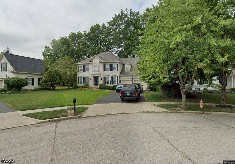
7127 Addington Rd New Albany, OH 43054
Fodor NeighborhoodEstimated Value: $661,000 - $739,000
4
Beds
3
Baths
3,093
Sq Ft
$226/Sq Ft
Est. Value
About This Home
This home is located at 7127 Addington Rd, New Albany, OH 43054 and is currently estimated at $699,627, approximately $226 per square foot. 7127 Addington Rd is a home located in Franklin County with nearby schools including New Albany Primary School, New Albany Intermediate School, and New Albany Middle School.
Ownership History
Date
Name
Owned For
Owner Type
Purchase Details
Closed on
Jul 25, 1997
Sold by
M/I Schottenstein Homes Inc
Bought by
Yoho Timothy J and Yoho Lori Moxley
Current Estimated Value
Home Financials for this Owner
Home Financials are based on the most recent Mortgage that was taken out on this home.
Original Mortgage
$219,450
Interest Rate
7.71%
Create a Home Valuation Report for This Property
The Home Valuation Report is an in-depth analysis detailing your home's value as well as a comparison with similar homes in the area
Home Values in the Area
Average Home Value in this Area
Purchase History
| Date | Buyer | Sale Price | Title Company |
|---|---|---|---|
| Yoho Timothy J | $292,700 | Transohio Residential Title |
Source: Public Records
Mortgage History
| Date | Status | Borrower | Loan Amount |
|---|---|---|---|
| Previous Owner | Yoho Timothy J | $219,450 | |
| Closed | Yoho Timothy J | $43,890 |
Source: Public Records
Tax History Compared to Growth
Tax History
| Year | Tax Paid | Tax Assessment Tax Assessment Total Assessment is a certain percentage of the fair market value that is determined by local assessors to be the total taxable value of land and additions on the property. | Land | Improvement |
|---|---|---|---|---|
| 2024 | $11,355 | $208,810 | $53,900 | $154,910 |
| 2023 | $11,265 | $208,810 | $53,900 | $154,910 |
| 2022 | $10,693 | $151,200 | $33,600 | $117,600 |
| 2021 | $10,252 | $151,200 | $33,600 | $117,600 |
| 2020 | $10,172 | $151,200 | $33,600 | $117,600 |
| 2019 | $9,275 | $125,340 | $28,000 | $97,340 |
| 2018 | $9,218 | $125,340 | $28,000 | $97,340 |
| 2017 | $9,283 | $125,340 | $28,000 | $97,340 |
| 2016 | $9,268 | $115,260 | $26,390 | $88,870 |
| 2015 | $9,288 | $115,260 | $26,390 | $88,870 |
| 2014 | $8,877 | $115,260 | $26,390 | $88,870 |
| 2013 | $4,579 | $109,760 | $25,130 | $84,630 |
Source: Public Records
Map
Nearby Homes
- 6813 Ridge Rock Dr Unit 14
- 5556 Falco Dr
- 7362 Tottenham Place
- 6923 Rothwell St Unit 46923
- 6931 Rothwell St Unit 36931
- 5600 Apothecary Way
- 5604 Apothecary Way Unit 4
- 5656 Apothecary Way Unit 2
- 5730 Colts Gate Dr Unit 43
- 5777 Colts Gate Dr Unit 44
- 7016 Churchill Downs Dr
- 6501 Walnut Fork Dr Unit 6501
- 5798 Aristides Way
- 6498 Ash Rock Cir Unit 6498
- 6455 Walnut Fork Dr Unit 6455
- 6950 Harlem Rd
- 5288 Abby Gate Ave Unit 16
- 109 Keswick Dr
- 105 Keswick Dr
- 115 Keswick Dr
- 7133 Addington Rd
- 7123 Addington Rd
- 5240 Settlement Dr
- 5248 Settlement Dr
- 5232 Settlement Dr
- 7117 Addington Rd
- 7139 Addington Rd
- 5256 Settlement Dr
- 7102 Fodor Rd
- 7110 Fodor Rd
- 7094 Fodor Rd
- 7118 Fodor Rd
- 7134 Addington Rd
- 7147 Addington Rd
- 7111 Addington Rd
- 5264 Settlement Dr
- 7086 Fodor Rd
- 7118 Addington Rd
- 7105 Addington Rd
- 7148 Addington Rd