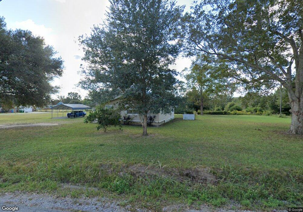
7129 Big Point Rd Moss Point, MS 39562
Estimated Value: $90,108 - $207,000
Studio
--
Bath
985
Sq Ft
$151/Sq Ft
Est. Value
About This Home
This home is located at 7129 Big Point Rd, Moss Point, MS 39562 and is currently estimated at $148,777, approximately $151 per square foot. 7129 Big Point Rd is a home with nearby schools including East Central Lower Elementary School, East Central Upper Elementary School, and East Central Middle School.
Ownership History
Date
Name
Owned For
Owner Type
Purchase Details
Closed on
Apr 22, 2016
Sold by
Shumock Betty A and Shumock Raphael A
Bought by
Dean Kenneth G
Current Estimated Value
Home Financials for this Owner
Home Financials are based on the most recent Mortgage that was taken out on this home.
Original Mortgage
$92,544
Outstanding Balance
$72,793
Interest Rate
3.71%
Mortgage Type
New Conventional
Estimated Equity
$75,984
Create a Home Valuation Report for This Property
The Home Valuation Report is an in-depth analysis detailing your home's value as well as a comparison with similar homes in the area
Purchase History
| Date | Buyer | Sale Price | Title Company |
|---|---|---|---|
| Dean Kenneth G | -- | Island Winds Title Co Llc |
Source: Public Records
Mortgage History
| Date | Status | Borrower | Loan Amount |
|---|---|---|---|
| Open | Dean Kenneth G | $92,544 |
Source: Public Records
Tax History
| Year | Tax Paid | Tax Assessment Tax Assessment Total Assessment is a certain percentage of the fair market value that is determined by local assessors to be the total taxable value of land and additions on the property. | Land | Improvement |
|---|---|---|---|---|
| 2025 | $408 | $5,205 | $1,141 | $4,064 |
| 2024 | $408 | $4,435 | $1,110 | $3,325 |
| 2023 | $352 | $4,435 | $1,110 | $3,325 |
| 2022 | $337 | $4,435 | $1,110 | $3,325 |
| 2021 | $341 | $4,468 | $1,110 | $3,358 |
| 2020 | $327 | $4,099 | $1,028 | $3,071 |
| 2019 | $322 | $4,099 | $1,028 | $3,071 |
| 2018 | $331 | $4,099 | $1,028 | $3,071 |
| 2017 | $340 | $4,099 | $1,028 | $3,071 |
| 2016 | $768 | $6,453 | $1,542 | $4,911 |
| 2015 | $720 | $40,120 | $10,280 | $29,840 |
| 2014 | $707 | $6,018 | $1,542 | $4,476 |
| 2013 | $770 | $6,779 | $1,542 | $5,237 |
Source: Public Records
Map
Nearby Homes
- 0 Ms-613 Hwy Unit 4116583
- 0 Ms-613 Hwy Unit 4107607
- 0 Ms-613 Hwy Unit 4107612
- 0 Ms-613 Hwy Unit 4116582
- 0 R B Dickerson Rd
- 0 Grafe Homestead Rd Unit 4137349
- 26.1 Acres Brinkman Rd E
- 17500 Goff Farm Rd
- 7201 Bentwood Dr
- -0- Rayford Shumock Rd
- 01 Dap Rd E
- 0 Rayford Shumock Rd Unit 24406728
- 0 Rayford Shumock Rd Unit 4121875
- 17920 Rayford Shumock Rd
- 0 Dap Rd E
- 0 Perry St
- 14004 Ann Rd
- 7805 Songbird Ln
- 14015 Lily Orchard Rd
- 14208 Lily Orchard Rd
- 7200 Big Point Rd
- 7224 Big Point Rd
- 7104 Big Point Rd
- 7301 Big Point Rd
- 7320 Big Point Rd
- 7321 Big Point Rd
- 7408 Big Point Rd
- 7440 Big Point Rd
- 7437 Big Point Rd
- 7212 Horace Shumock Rd
- 7428 Big Point Rd
- 7400 Horace Shumock Rd
- 7200 Horace Shumock Rd
- 7300 Horace Shumock Rd
- 7444 Big Point Rd
- 7412 Horace Shumock Rd
- 7424 Horace Shumock Rd
- 7500 Big Point Rd
- 16417 Honeysuckle Rd
- 16316 Honeysuckle Rd
Your Personal Tour Guide
Ask me questions while you tour the home.