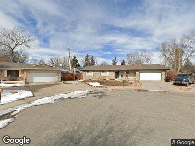
7129 Swadley Cir Arvada, CO 80004
Northwest Arvada NeighborhoodEstimated Value: $535,000 - $577,000
3
Beds
3
Baths
1,187
Sq Ft
$469/Sq Ft
Est. Value
About This Home
This home is located at 7129 Swadley Cir, Arvada, CO 80004 and is currently estimated at $556,602, approximately $468 per square foot. 7129 Swadley Cir is a home located in Jefferson County with nearby schools including Fremont Elementary School, Oberon Junior High School, and Arvada West High School.
Ownership History
Date
Name
Owned For
Owner Type
Purchase Details
Closed on
Oct 12, 2023
Sold by
Leach Timothy John
Bought by
Biere Mark E and Biere Michelle R
Current Estimated Value
Purchase Details
Closed on
Mar 25, 2004
Sold by
Andrews Alexis Kristina
Bought by
Leach Timothy J
Home Financials for this Owner
Home Financials are based on the most recent Mortgage that was taken out on this home.
Original Mortgage
$195,259
Interest Rate
5.59%
Mortgage Type
FHA
Create a Home Valuation Report for This Property
The Home Valuation Report is an in-depth analysis detailing your home's value as well as a comparison with similar homes in the area
Home Values in the Area
Average Home Value in this Area
Purchase History
| Date | Buyer | Sale Price | Title Company |
|---|---|---|---|
| Biere Mark E | $400,000 | Land Title Guarantee | |
| Leach Timothy J | $199,000 | Stewart Title |
Source: Public Records
Mortgage History
| Date | Status | Borrower | Loan Amount |
|---|---|---|---|
| Previous Owner | Leach Timothy J | $195,259 |
Source: Public Records
Tax History Compared to Growth
Tax History
| Year | Tax Paid | Tax Assessment Tax Assessment Total Assessment is a certain percentage of the fair market value that is determined by local assessors to be the total taxable value of land and additions on the property. | Land | Improvement |
|---|---|---|---|---|
| 2024 | $3,377 | $34,816 | $16,956 | $17,860 |
| 2023 | $3,377 | $34,816 | $16,956 | $17,860 |
| 2022 | $2,831 | $28,910 | $13,321 | $15,589 |
| 2021 | $2,878 | $29,741 | $13,704 | $16,037 |
| 2020 | $2,671 | $27,679 | $11,531 | $16,148 |
| 2019 | $2,635 | $27,679 | $11,531 | $16,148 |
| 2018 | $2,526 | $25,800 | $7,358 | $18,442 |
| 2017 | $2,313 | $25,800 | $7,358 | $18,442 |
| 2016 | $1,946 | $20,454 | $6,580 | $13,874 |
| 2015 | $1,658 | $20,454 | $6,580 | $13,874 |
| 2014 | $1,658 | $16,374 | $5,158 | $11,216 |
Source: Public Records
Map
Nearby Homes
- 11964 W 71st Place
- 11921 W 70th Place
- 11845 W 73rd Dr
- 6726 Taft Cir
- 11542 W 67th Way
- 7380 Tabor St
- 7054 Welch Ct
- 11348 W 68th Way
- 6768 Vivian St
- 12423 W 68th Ave
- 11945 W 66th Place Unit A
- 11270 W 66th Place
- 7078 Parfet Ct
- 14420 W 67th Ave
- 6640 Simms St
- 10868 W 70th Ave
- 11707 W 65th Cir
- 6672 Welch Ct
- 6545 Union St
- 6980 Oak St
- 7129 Swadley Cir
- 7128 Swadley Cir
- 11724 W 71st Place
- 7119 Swadley Cir
- 11704 W 71st Place
- 11666 W 71st Dr
- 7118 Swadley Cir
- 11764 W 71st Place
- 11646 W 71st Dr
- 7109 Swadley Cir
- 11853 W 71st Ave
- 11873 W 71st Ave
- 11626 W 71st Dr
- 11606 W 71st Dr
- 11826 W 71st Dr
- 11825 W 71st Place
- 11723 W 71st Ave
- 11667 W 71st Dr
- 11707 W 71st Dr
- 11657 W 71st Dr