Estimated Value: $571,000 - $824,000
4
Beds
4
Baths
2,556
Sq Ft
$282/Sq Ft
Est. Value
About This Home
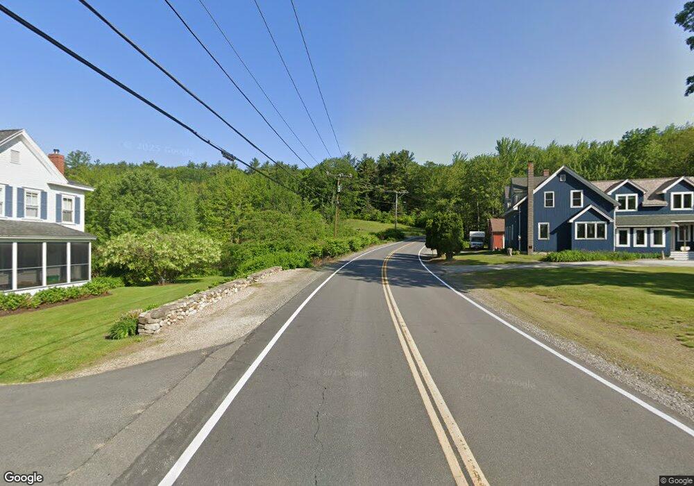
This home is located at 713 Highway 121, Derry, NH 03038 and is currently estimated at $719,771, approximately $281 per square foot. 713 Highway 121 is a home with nearby schools including East Derry Memorial Elementary School, Gilbert H. Hood Middle School, and Pinkerton Academy.
Ownership History
Date
Name
Owned For
Owner Type
Purchase Details
Closed on
Dec 8, 2023
Sold by
Donahue Mark A
Bought by
Bosco Andrew J
Current Estimated Value
Home Financials for this Owner
Home Financials are based on the most recent Mortgage that was taken out on this home.
Original Mortgage
$593,750
Outstanding Balance
$583,474
Interest Rate
7.79%
Mortgage Type
Purchase Money Mortgage
Estimated Equity
$136,297
Create a Home Valuation Report for This Property
The Home Valuation Report is an in-depth analysis detailing your home's value as well as a comparison with similar homes in the area
Home Values in the Area
Average Home Value in this Area
Purchase History
| Date | Buyer | Sale Price | Title Company |
|---|---|---|---|
| Bosco Andrew J | $625,000 | None Available | |
| Bosco Andrew J | $625,000 | None Available |
Source: Public Records
Mortgage History
| Date | Status | Borrower | Loan Amount |
|---|---|---|---|
| Open | Bosco Andrew J | $593,750 | |
| Closed | Bosco Andrew J | $593,750 |
Source: Public Records
Tax History Compared to Growth
Tax History
| Year | Tax Paid | Tax Assessment Tax Assessment Total Assessment is a certain percentage of the fair market value that is determined by local assessors to be the total taxable value of land and additions on the property. | Land | Improvement |
|---|---|---|---|---|
| 2024 | $12,784 | $684,000 | $204,200 | $479,800 |
| 2023 | $12,607 | $609,600 | $173,600 | $436,000 |
| 2022 | $11,607 | $609,600 | $173,600 | $436,000 |
| 2021 | $10,914 | $440,800 | $133,500 | $307,300 |
| 2020 | $10,729 | $440,800 | $133,500 | $307,300 |
| 2019 | $11,046 | $422,900 | $103,900 | $319,000 |
| 2018 | $10,359 | $422,900 | $103,900 | $319,000 |
| 2017 | $9,494 | $348,100 | $96,900 | $251,200 |
| 2016 | $9,420 | $348,100 | $96,900 | $251,200 |
| 2015 | $9,272 | $317,200 | $96,900 | $220,300 |
| 2014 | $9,332 | $317,200 | $96,900 | $220,300 |
| 2013 | $10,231 | $324,900 | $86,900 | $238,000 |
Source: Public Records
Map
Nearby Homes
- 648 Haverhill Rd
- 45 Damren Rd
- 20 Richardson Dr Unit R
- 294.5 Hampstead Rd
- 264 Hampstead Rd
- 1 Cameron Ct Unit 1
- 5 Sheldon Rd
- 4 Sheldon Rd
- 31 N Shore Rd
- 0 Jack Rd
- 156 Little Mill Rd Unit A
- 7 Desforge Ln Unit R
- 12 Halls Village Rd
- 37 Houstons Way
- 50 Page Ln
- 73 Drew Rd
- 32 Colby Farm Rd
- 15 Brightstone Way Unit 14
- 21 Brightstone Way Unit 17
- 4 Colony Brook Ln
- 713 Haverhill Rd Unit 3
- 522 Haverhill Rd
- 51 Jenkins Farm Rd
- 688 New Hampshire 121
- 11 Tenney Rd
- 1 Tenney Rd
- 26 Tenney Rd
- 43 Tenney Rd
- 93 Jenkins Farm Rd
- 59 Jenkins Farm Rd
- 702 Haverhill Rd
- 680 Haverhill Rd
- 51 Tenney Rd
- 89 Jenkins Farm Rd
- 668 Highway 121
- 85 Jenkin's Farm Rd
- 85 Jenkins Farm Rd
- 43 Jenkins Farm Rd
- Lot2-2 Lantern Dr
- 719 Highway 121