Estimated Value: $224,000 - $303,000
--
Bed
1
Bath
2,083
Sq Ft
$123/Sq Ft
Est. Value
About This Home
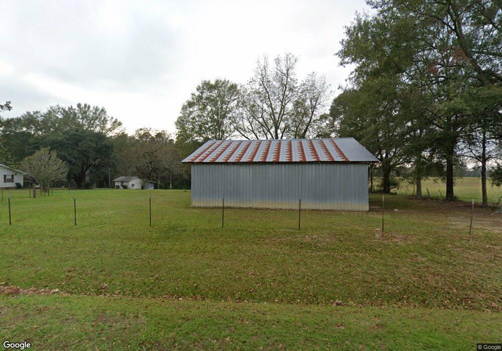
This home is located at 713 James Berry Rd, Magee, MS 39111 and is currently estimated at $256,896, approximately $123 per square foot. 713 James Berry Rd is a home located in Simpson County with nearby schools including Simpson Central School and Mendenhall High School.
Ownership History
Date
Name
Owned For
Owner Type
Purchase Details
Closed on
May 17, 2021
Sold by
Magee Robert V and Magee April M
Bought by
Taylor Mindy M and Taylor Jaymes W
Current Estimated Value
Home Financials for this Owner
Home Financials are based on the most recent Mortgage that was taken out on this home.
Original Mortgage
$201,188
Outstanding Balance
$182,041
Interest Rate
3%
Mortgage Type
FHA
Estimated Equity
$74,855
Purchase Details
Closed on
Jul 27, 2012
Sold by
Sampeer Jason and Dampeer Christi
Bought by
Vanvanmagee Robert Van and Magee April M
Create a Home Valuation Report for This Property
The Home Valuation Report is an in-depth analysis detailing your home's value as well as a comparison with similar homes in the area
Home Values in the Area
Average Home Value in this Area
Purchase History
| Date | Buyer | Sale Price | Title Company |
|---|---|---|---|
| Taylor Mindy M | -- | None Available | |
| Vanvanmagee Robert Van | -- | -- |
Source: Public Records
Mortgage History
| Date | Status | Borrower | Loan Amount |
|---|---|---|---|
| Open | Taylor Mindy M | $201,188 |
Source: Public Records
Tax History Compared to Growth
Tax History
| Year | Tax Paid | Tax Assessment Tax Assessment Total Assessment is a certain percentage of the fair market value that is determined by local assessors to be the total taxable value of land and additions on the property. | Land | Improvement |
|---|---|---|---|---|
| 2024 | $542 | $7,349 | $0 | $0 |
| 2023 | $542 | $7,197 | $0 | $0 |
| 2022 | $505 | $7,197 | $0 | $0 |
| 2021 | $489 | $7,197 | $0 | $0 |
| 2020 | $443 | $6,550 | $0 | $0 |
| 2019 | $426 | $6,780 | $0 | $0 |
| 2018 | $426 | $6,780 | $0 | $0 |
| 2017 | $426 | $6,780 | $0 | $0 |
| 2016 | $397 | $6,707 | $0 | $0 |
| 2015 | $374 | $6,707 | $0 | $0 |
| 2014 | $374 | $6,707 | $0 | $0 |
Source: Public Records
Map
Nearby Homes
- 0 James Boyakin Barnett Rd
- 235 Maxie Rd
- 120 Anse Reed Rd
- 0 Highway 28 Hwy Unit 1287717
- 0 Airport Rd Unit 23277891
- 0 Pecan Grove Dr Unit 4116202
- 540-578 Sol Grubbs Rd
- 204 A D McLendon Rd
- 242 Siloam Rd
- 118 Sparks Dr
- 149 Ashwood Ln
- 5219 Simpson Highway 28 W
- 143 Ashwood Ln
- 0 Sam Durr Rd
- 0 Emmitt Brown Rd Unit 23091050
- - Emmitt Brown Rd
- 00 Son's Ln
- 1800 Simpson Highway 49
- 152 Dewitt Flynt Rd
- 849 Athens Rd
- 709 James Berry Rd
- 676 James Berry Rd
- 368 Bill Blair Rd
- 643 James Berry Rd
- 656 James Berry Rd
- 307 Bill Blair Rd
- 762 James Berry Rd
- 663 James Berry Rd
- 325 Bill Blair Rd
- 547 Golf Course Rd
- 547A Golf Course Rd
- 404 Bill Blair Rd
- 121 Alter Blair Dr
- 787 James Berry Rd
- 266 Bill Blair Rd
- 3937 Simpson Highway 28 W
- 3931 Simpson Highway 28 W
- 115 Clark Walker Dr
- 4024 Simpson Highway 28 W
- 185 W J Walker Rd