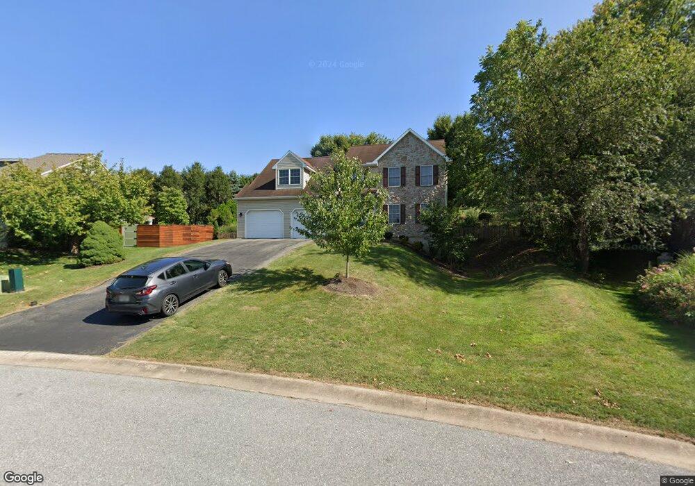
713 Oxford Rd Lancaster, PA 17601
Oyster Point NeighborhoodEstimated Value: $504,126 - $551,000
4
Beds
3
Baths
2,307
Sq Ft
$229/Sq Ft
Est. Value
About This Home
This home is located at 713 Oxford Rd, Lancaster, PA 17601 and is currently estimated at $528,282, approximately $228 per square foot. 713 Oxford Rd is a home located in Lancaster County with nearby schools including Farmdale Elementary School, Landisville Middle School, and Hempfield Senior High School.
Ownership History
Date
Name
Owned For
Owner Type
Purchase Details
Closed on
Oct 5, 2001
Sold by
Kreider & Diller Inc
Bought by
Wanger Brian K and Wanger Patricia
Current Estimated Value
Home Financials for this Owner
Home Financials are based on the most recent Mortgage that was taken out on this home.
Original Mortgage
$199,500
Outstanding Balance
$86,375
Interest Rate
6.75%
Mortgage Type
Construction
Estimated Equity
$441,907
Create a Home Valuation Report for This Property
The Home Valuation Report is an in-depth analysis detailing your home's value as well as a comparison with similar homes in the area
Home Values in the Area
Average Home Value in this Area
Purchase History
| Date | Buyer | Sale Price | Title Company |
|---|---|---|---|
| Wanger Brian K | $51,500 | -- |
Source: Public Records
Mortgage History
| Date | Status | Borrower | Loan Amount |
|---|---|---|---|
| Open | Wanger Brian K | $199,500 |
Source: Public Records
Tax History Compared to Growth
Tax History
| Year | Tax Paid | Tax Assessment Tax Assessment Total Assessment is a certain percentage of the fair market value that is determined by local assessors to be the total taxable value of land and additions on the property. | Land | Improvement |
|---|---|---|---|---|
| 2025 | $5,822 | $258,200 | $61,200 | $197,000 |
| 2024 | $5,822 | $258,200 | $61,200 | $197,000 |
| 2023 | $5,711 | $258,200 | $61,200 | $197,000 |
| 2022 | $5,560 | $258,200 | $61,200 | $197,000 |
| 2021 | $5,450 | $258,200 | $61,200 | $197,000 |
| 2020 | $5,450 | $258,200 | $61,200 | $197,000 |
| 2019 | $5,361 | $258,200 | $61,200 | $197,000 |
| 2018 | $1,126 | $258,200 | $61,200 | $197,000 |
| 2017 | $4,597 | $178,800 | $48,300 | $130,500 |
| 2016 | $4,506 | $178,800 | $48,300 | $130,500 |
| 2015 | $907 | $178,800 | $48,300 | $130,500 |
| 2014 | $3,355 | $178,800 | $48,300 | $130,500 |
Source: Public Records
Map
Nearby Homes
- 667 Golden Eagle Way
- 501 Bald Eagle Ct
- 3320 Poplar Ln
- 3411 Horizon Dr
- 27 Apple Ln
- 23 Beechtree Ln
- 3161 Grande Oak Place
- 373 Holly Hock Cir
- 373 Primrose Ln
- 3200 Greenridge Dr
- 3601 Horizon Dr
- 3210 Glengreen Dr
- 913 Snapper Dam Rd
- Kipling Plan at Enclave at Independence Ridge
- Woodford Plan at Enclave at Independence Ridge
- Magnolia Plan at Enclave at Independence Ridge
- Sebastian Plan at Enclave at Independence Ridge
- Savannah Plan at Enclave at Independence Ridge
- Parker Plan at Enclave at Independence Ridge
- Nottingham Plan at Enclave at Independence Ridge
- 711 Oxford Rd
- 715 Oxford Rd
- 652 Golden Eagle Way
- 654 Golden Eagle Way
- 709 Oxford Rd
- 717 Oxford Rd
- 541 Bald Eagle Ct
- 708 Oxford Rd
- 656 Golden Eagle Way
- 545 Bald Eagle Ct
- 537 Bald Eagle Ct
- 650 Golden Eagle Way
- 658 Golden Eagle Way
- 707 Oxford Rd
- 721 Oxford Rd
- 549 Bald Eagle Ct
- 716 Oxford Rd
- 704 Oxford Rd
- 533 Bald Eagle Ct
- 553 Bald Eagle Ct