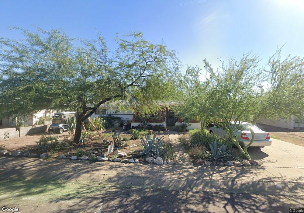
713 W Howe St Tempe, AZ 85281
Mitchell Park West NeighborhoodEstimated Value: $351,096 - $434,000
Studio
1
Bath
1,164
Sq Ft
$343/Sq Ft
Est. Value
About This Home
This home is located at 713 W Howe St, Tempe, AZ 85281 and is currently estimated at $399,774, approximately $343 per square foot. 713 W Howe St is a home located in Maricopa County with nearby schools including Geneva Epps Mosley Middle School, Tempe High School, and New School for the Arts & Academics.
Ownership History
Date
Name
Owned For
Owner Type
Purchase Details
Closed on
Oct 31, 2002
Sold by
Wood Edward A and Wood Marjorie V
Bought by
Huse Christine
Current Estimated Value
Home Financials for this Owner
Home Financials are based on the most recent Mortgage that was taken out on this home.
Original Mortgage
$108,300
Outstanding Balance
$45,262
Interest Rate
5.99%
Mortgage Type
FHA
Estimated Equity
$354,512
Create a Home Valuation Report for This Property
The Home Valuation Report is an in-depth analysis detailing your home's value as well as a comparison with similar homes in the area
Home Values in the Area
Average Home Value in this Area
Purchase History
| Date | Buyer | Sale Price | Title Company |
|---|---|---|---|
| Huse Christine | $110,000 | -- |
Source: Public Records
Mortgage History
| Date | Status | Borrower | Loan Amount |
|---|---|---|---|
| Open | Huse Christine | $108,300 |
Source: Public Records
Tax History
| Year | Tax Paid | Tax Assessment Tax Assessment Total Assessment is a certain percentage of the fair market value that is determined by local assessors to be the total taxable value of land and additions on the property. | Land | Improvement |
|---|---|---|---|---|
| 2025 | $1,484 | $14,230 | -- | -- |
| 2024 | $1,361 | $13,552 | -- | -- |
| 2023 | $1,361 | $33,430 | $6,680 | $26,750 |
| 2022 | $1,300 | $24,710 | $4,940 | $19,770 |
| 2021 | $1,325 | $23,010 | $4,600 | $18,410 |
| 2020 | $1,282 | $20,480 | $4,090 | $16,390 |
| 2019 | $1,257 | $17,720 | $3,540 | $14,180 |
| 2018 | $1,223 | $15,470 | $3,090 | $12,380 |
| 2017 | $1,185 | $13,920 | $2,780 | $11,140 |
| 2016 | $1,179 | $12,930 | $2,580 | $10,350 |
| 2015 | $1,141 | $12,200 | $2,440 | $9,760 |
Source: Public Records
Map
Nearby Homes
- 1215 S Judd St
- 522 W Howe St
- 617 W 13th St
- 611 W 13th St
- 826 W 12th St
- 1321 S Mckemy St
- 1218 S Farmer Ave
- 1234 S Farmer Ave
- 1101 S Farmer Ave
- 1201 S Farmer Ave Unit 1
- 406 W 14th St
- 919 S Wilson St Unit 5
- 915 S Wilson St Unit 4
- 535 W 15th St
- 410 W Parkway Blvd
- 914 S Farmer Ave
- 1621 S Marilyn Ann Dr
- 942 S Ash Ave Unit 103
- 700 W University Dr Unit 122
- 700 W University Dr Unit 241
Your Personal Tour Guide
Ask me questions while you tour the home.