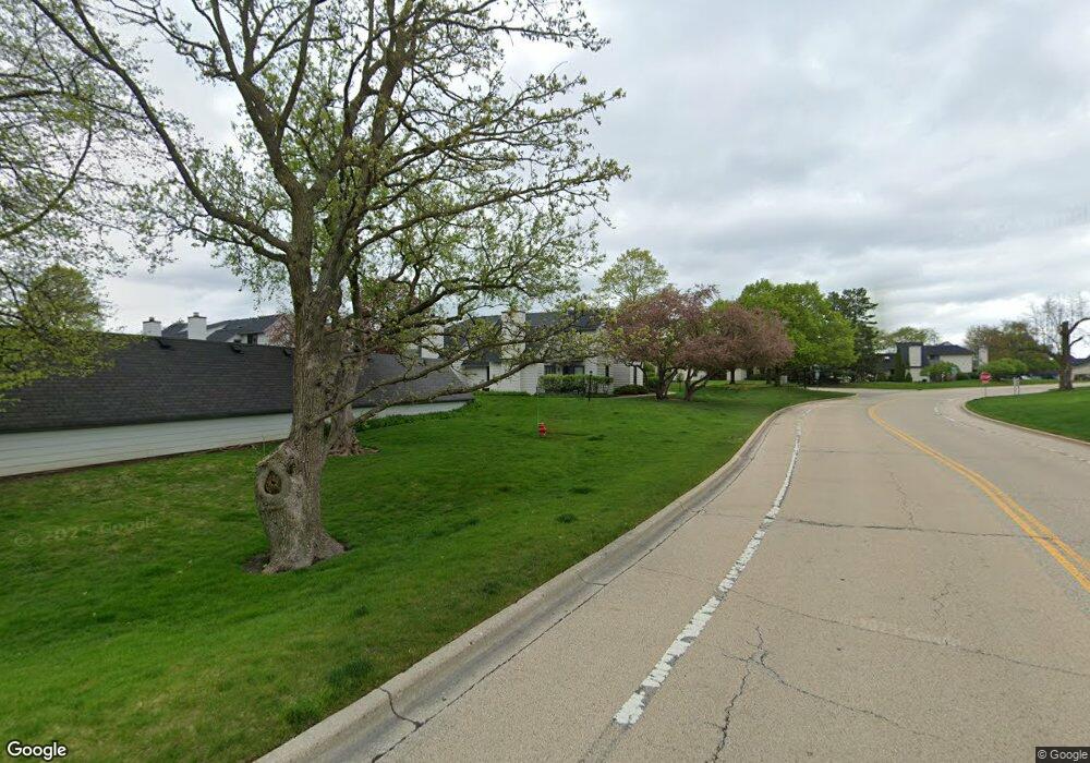
713 Wakefield Rd Unit U146 Gurnee, IL 60031
Estimated Value: $175,000 - $196,000
1
Bed
2
Baths
956
Sq Ft
$193/Sq Ft
Est. Value
About This Home
This home is located at 713 Wakefield Rd Unit U146, Gurnee, IL 60031 and is currently estimated at $184,287, approximately $192 per square foot. 713 Wakefield Rd Unit U146 is a home located in Lake County with nearby schools including Woodland Primary School, Woodland Elementary School, and Woodland Intermediate School.
Ownership History
Date
Name
Owned For
Owner Type
Purchase Details
Closed on
Jan 19, 1996
Sold by
Spielman Lee R
Bought by
Jacobs Pamela B
Current Estimated Value
Home Financials for this Owner
Home Financials are based on the most recent Mortgage that was taken out on this home.
Original Mortgage
$45,000
Interest Rate
7.19%
Create a Home Valuation Report for This Property
The Home Valuation Report is an in-depth analysis detailing your home's value as well as a comparison with similar homes in the area
Home Values in the Area
Average Home Value in this Area
Purchase History
| Date | Buyer | Sale Price | Title Company |
|---|---|---|---|
| Jacobs Pamela B | $68,000 | First American Title |
Source: Public Records
Mortgage History
| Date | Status | Borrower | Loan Amount |
|---|---|---|---|
| Closed | Jacobs Pamela B | $45,000 |
Source: Public Records
Tax History Compared to Growth
Tax History
| Year | Tax Paid | Tax Assessment Tax Assessment Total Assessment is a certain percentage of the fair market value that is determined by local assessors to be the total taxable value of land and additions on the property. | Land | Improvement |
|---|---|---|---|---|
| 2024 | $1,735 | $41,735 | $8,185 | $33,550 |
| 2023 | $2,208 | $38,747 | $7,599 | $31,148 |
| 2022 | $2,208 | $33,654 | $5,929 | $27,725 |
| 2021 | $2,252 | $30,475 | $5,369 | $25,106 |
| 2020 | $2,169 | $29,726 | $5,237 | $24,489 |
| 2019 | $2,100 | $28,863 | $5,085 | $23,778 |
| 2018 | $1,176 | $19,074 | $2,240 | $16,834 |
| 2017 | $1,156 | $18,528 | $2,176 | $16,352 |
| 2016 | $1,125 | $17,703 | $2,079 | $15,624 |
| 2015 | $1,069 | $16,790 | $1,972 | $14,818 |
| 2014 | $1,166 | $17,810 | $1,945 | $15,865 |
| 2012 | $2,498 | $17,947 | $1,960 | $15,987 |
Source: Public Records
Map
Nearby Homes
- 651 White Ct
- 690 Chandler Rd Unit 302
- 690 Chandler Rd Unit 207
- 650 Whitney Ct Unit 203
- 650 Whitney Ct Unit 108
- 740 Chandler Rd Unit U85
- 761 Creekside Cir Unit 93
- 920 Vose Dr Unit 202
- 920 Vose Dr Unit 106
- 920 Vose Dr Unit 208
- 6296 Doral Dr
- 706 Owl Creek Ln
- 6359 Doral Dr
- 6183 Old Farm Ln Unit 3
- 6091 Washington St
- 17150 Washington St
- 4837 Middle Rd
- 34026 N White Oak Ln Unit 48C
- 17298 W Maple Ln
- 34110 N White Oak Ln Unit 37B
- 715 Wakefield Rd Unit U147
- 711 Wakefield Rd Unit U145
- 709 Wakefield Rd Unit U144
- 717 Wakefield Rd Unit 148
- 707 Wakefield Rd
- 719 Wakefield Rd Unit U149
- 721 Wakefield Rd Unit U50
- 701 Wakefield Rd
- 693 Wakefield Rd Unit U136
- 697 Wakefield Rd
- 705 Wakefield Rd Unit U142
- 699 Wakefield Rd
- 691 Wakefield Rd
- 691 Wakefield Rd Unit 691
- 703 Wakefield Rd Unit U141
- 689 Wakefield Rd
- 664 Beth Ct Unit U217
- 662 Beth Ct
- 687 Wakefield Rd Unit U133
- 704 Colby Ct Unit U74