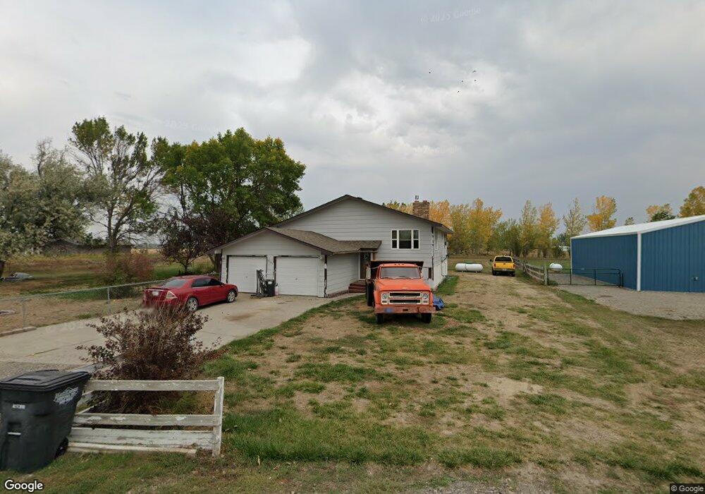
7131 Bronco Rd Shepherd, MT 59079
Estimated Value: $398,000 - $466,530
About This Home
This home is located at 7131 Bronco Rd, Shepherd, MT 59079 and is currently estimated at $437,383, approximately $138 per square foot. 7131 Bronco Rd is a home located in Yellowstone County with nearby schools including Shepherd Elementary School, Shepherd Middle School, and Shepherd High School.
Ownership History
We collect this data history from publicly available records. To have your information removed, we recommend requesting removal directly through your county’s website.
Purchase Details
Home Financials for this Owner
Home Financials are based on the most recent Mortgage that was taken out on this home.Purchase Details
Home Financials for this Owner
Home Financials are based on the most recent Mortgage that was taken out on this home.Purchase History
We collect this data history from publicly available records. To have your information removed, we recommend requesting removal directly through your county’s website.
| Date | Buyer | Sale Price | Title Company |
|---|---|---|---|
| -- | First Montana Title | ||
| -- | -- |
Mortgage History
We collect this data history from publicly available records. To have your information removed, we recommend requesting removal directly through your county’s website.
| Date | Status | Borrower | Loan Amount |
|---|---|---|---|
| Open | $312,000 | ||
| Previous Owner | $217,171 |
Tax History
We collect this data history from publicly available records. To have your information removed, we recommend requesting removal directly through your county’s website.
| Year | Tax Paid | Tax Assessment Tax Assessment Total Assessment is a certain percentage of the fair market value that is determined by local assessors to be the total taxable value of land and additions on the property. | Land | Improvement |
|---|---|---|---|---|
| 2025 | $3,158 | $404,200 | $64,613 | $339,587 |
| 2024 | $3,158 | $365,900 | $52,776 | $313,124 |
| 2023 | $3,213 | $365,900 | $52,776 | $313,124 |
| 2022 | $2,514 | $267,300 | $0 | $0 |
| 2021 | $2,635 | $267,300 | $0 | $0 |
| 2020 | $2,509 | $245,600 | $0 | $0 |
| 2019 | $1,903 | $223,200 | $0 | $0 |
| 2018 | $2,033 | $225,200 | $0 | $0 |
| 2017 | $1,995 | $225,200 | $0 | $0 |
| 2016 | $1,909 | $224,800 | $0 | $0 |
| 2015 | $1,899 | $224,800 | $0 | $0 |
| 2014 | $1,555 | $98,315 | $0 | $0 |
Map
- 5430 Cerkoney Ln
- 7104 Shepherd Rd
- 0 Shepherd Road Lot Shepherd Rd
- 0 Shepherd Road Lot 2a Shepherd Rd
- 6108 Kirby Rd
- 8020 Wade St
- 5213 Shepherd Acton Rd
- 6107 Shepherd Rd
- 6513 Frey Rd
- 8230 Shepherd Rd
- 7328 US Highway 312
- 7157 Lance St
- 3863 Glenn Edward Rd
- 6447 US Highway 312
- L5B4 Trumbo Cir
- L4B4 Trumbo Cir
- L3B4 Trumbo Cir
- L2B4 True Grit St
- L1B4 True Grit St
- L12B3 Molly Dr
- 7117 Bronco Rd
- 0 Bronco Rd
- 7103 Bronco Rd
- 7120 Bronco Rd
- 7110 Bronco Rd
- 7130 Bronco Rd
- 5358 Yeoman Rd
- 7042 Bronco Rd
- 7033 Bronco Rd
- 5406 Cerkoney Ln
- 5408 Yeoman Rd
- 5316 Yeoman Rd
- 7026 Bronco Rd
- 5420 Cerkoney Ln
- 7105 Mustang Rd
- 7119 Mustang Rd
- 7043 Mustang Rd
- 5303 Percheron Rd
- 5242 Yeoman Rd
- 7108 Mustang Rd
Ask me questions while you tour the home.