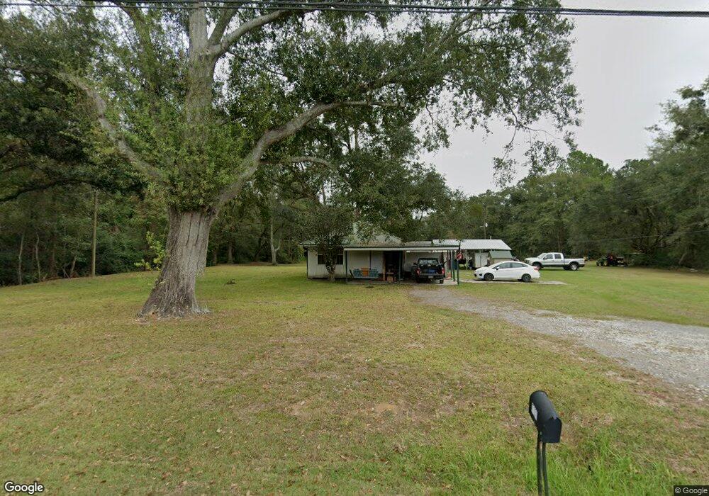
7131 Campground Rd Moss Point, MS 39562
Estimated Value: $111,539 - $245,000
2
Beds
1
Bath
696
Sq Ft
$224/Sq Ft
Est. Value
About This Home
This home is located at 7131 Campground Rd, Moss Point, MS 39562 and is currently estimated at $155,635, approximately $223 per square foot. 7131 Campground Rd is a home located in Jackson County with nearby schools including East Central Lower Elementary School, East Central Upper Elementary School, and East Central Middle School.
Ownership History
Date
Name
Owned For
Owner Type
Purchase Details
Closed on
Dec 14, 2016
Bought by
Newman Justin J and Newman Holly D
Current Estimated Value
Home Financials for this Owner
Home Financials are based on the most recent Mortgage that was taken out on this home.
Original Mortgage
$21,000
Outstanding Balance
$17,098
Interest Rate
4.13%
Estimated Equity
$138,537
Purchase Details
Closed on
May 13, 2010
Sold by
Federal National Mortgage Association
Bought by
Rubino Thomas
Create a Home Valuation Report for This Property
The Home Valuation Report is an in-depth analysis detailing your home's value as well as a comparison with similar homes in the area
Purchase History
| Date | Buyer | Sale Price | Title Company |
|---|---|---|---|
| Newman Justin J | -- | -- | |
| Rubino Thomas | -- | -- |
Source: Public Records
Mortgage History
| Date | Status | Borrower | Loan Amount |
|---|---|---|---|
| Open | Newman Justin J | $21,000 | |
| Closed | Newman Justin J | -- |
Source: Public Records
Tax History
| Year | Tax Paid | Tax Assessment Tax Assessment Total Assessment is a certain percentage of the fair market value that is determined by local assessors to be the total taxable value of land and additions on the property. | Land | Improvement |
|---|---|---|---|---|
| 2025 | $984 | $8,283 | $629 | $7,654 |
| 2024 | $984 | $6,798 | $612 | $6,186 |
| 2023 | $816 | $6,798 | $612 | $6,186 |
| 2022 | $793 | $6,797 | $0 | $0 |
| 2021 | $310 | $4,099 | $408 | $3,691 |
| 2020 | $673 | $5,571 | $567 | $5,004 |
| 2019 | $666 | $5,571 | $567 | $5,004 |
| 2018 | $679 | $5,571 | $567 | $5,004 |
| 2017 | $577 | $4,661 | $567 | $4,094 |
| 2016 | $554 | $4,661 | $567 | $4,094 |
| 2015 | $513 | $28,620 | $3,780 | $24,840 |
| 2014 | $504 | $4,293 | $567 | $3,726 |
| 2013 | $488 | $4,293 | $567 | $3,726 |
Source: Public Records
Map
Nearby Homes
- 21704 Magnolia Springs Rd
- 0 Mississippi 614
- 0000 Mississippi 614
- 21217 E Trails End Rd
- 6200 Hurley Wade Rd
- 8012 Coleman Homestead Rd
- 23117 Hinton Rd
- 5402 Huckleberry Ln
- Tbd Hurley Wade Rd
- 24258 Misty Ln
- 0 Red Bluff Rd
- 5901 Lum Reeves Rd
- 0 Ramie Farm Rd
- 8201 Pecan Ridge Dr
- 7005 Whites Farm Rd
- 125 Mulberry Dr
- 24040 Robert e Lee Rd
- 24900 Highway 613
- 7805 Songbird Ln
- 24023 Robert e Lee Rd
- 7135 Campground Rd
- 22000 Parker Ln
- 7130 Shady Ln
- 22100 Parker Ln
- 7009 Campground Rd
- 7149 Campground Rd
- 7200 Shady Ln
- 7220 Campground Rd
- 7001 Campground Rd
- 6901 Shady Ln
- 0 Campground Rd Unit 3230010
- 0 Campground Rd Unit 3273258
- 7402 Campground Rd
- 7120 Shady Ln
- 7201 Shady Ln
- 7020 Shady Ln
- 7222 Shady Ln
- 7205 Shady Ln
- 22000 Campground Rd
- 22004 Hollyhock Dr
Your Personal Tour Guide
Ask me questions while you tour the home.