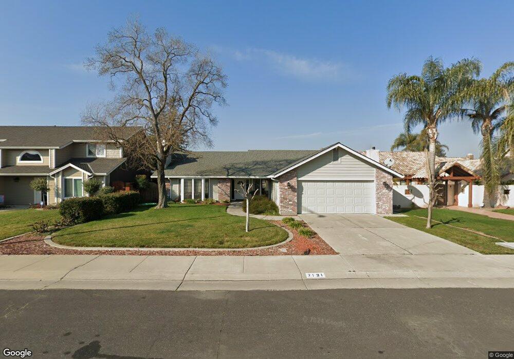
7131 Schooner Ct Stockton, CA 95219
Estimated Value: $558,000 - $633,000
4
Beds
3
Baths
2,413
Sq Ft
$252/Sq Ft
Est. Value
About This Home
This home is located at 7131 Schooner Ct, Stockton, CA 95219 and is currently estimated at $607,013, approximately $251 per square foot. 7131 Schooner Ct is a home located in San Joaquin County with nearby schools including John R. Williams School, Sierra Middle School, and Lincoln High School.
Ownership History
Date
Name
Owned For
Owner Type
Purchase Details
Closed on
Oct 8, 2001
Sold by
Buck Kenneth W
Bought by
Buck Kenneth W and Buck Sharon R
Current Estimated Value
Purchase Details
Closed on
Dec 2, 1998
Sold by
Buck Kenneth W and Buck Sheryl L
Bought by
Buck Kenneth W
Home Financials for this Owner
Home Financials are based on the most recent Mortgage that was taken out on this home.
Original Mortgage
$236,300
Interest Rate
6%
Mortgage Type
Purchase Money Mortgage
Create a Home Valuation Report for This Property
The Home Valuation Report is an in-depth analysis detailing your home's value as well as a comparison with similar homes in the area
Home Values in the Area
Average Home Value in this Area
Purchase History
| Date | Buyer | Sale Price | Title Company |
|---|---|---|---|
| Buck Kenneth W | -- | -- | |
| Buck Kenneth W | -- | Stewart Title |
Source: Public Records
Mortgage History
| Date | Status | Borrower | Loan Amount |
|---|---|---|---|
| Closed | Buck Kenneth W | $236,300 |
Source: Public Records
Tax History Compared to Growth
Tax History
| Year | Tax Paid | Tax Assessment Tax Assessment Total Assessment is a certain percentage of the fair market value that is determined by local assessors to be the total taxable value of land and additions on the property. | Land | Improvement |
|---|---|---|---|---|
| 2025 | $6,355 | $533,365 | $275,880 | $257,485 |
| 2024 | $6,218 | $522,908 | $270,471 | $252,437 |
| 2023 | $6,167 | $512,656 | $265,168 | $247,488 |
| 2022 | $5,761 | $502,605 | $259,969 | $242,636 |
| 2021 | $5,684 | $492,751 | $254,872 | $237,879 |
| 2020 | $5,681 | $487,699 | $252,259 | $235,440 |
| 2019 | $5,591 | $478,137 | $247,313 | $230,824 |
| 2018 | $5,493 | $468,763 | $242,464 | $226,299 |
| 2017 | $5,379 | $459,572 | $237,710 | $221,862 |
| 2016 | $5,323 | $450,561 | $233,049 | $217,512 |
| 2014 | $4,245 | $353,000 | $106,000 | $247,000 |
Source: Public Records
Map
Nearby Homes
- 3265 Shoreline Ct
- 3256 Lakeshore Ct
- 7348 Lighthouse Dr
- 7303 Southfield Way
- 3790 Hatchers Cir
- 6845 Shiloh Ct
- 6827 Shiloh Ct
- 7011 Shoreham Place
- 7513 Richland Way
- 7223 Westland Dr
- 7626 Richland Way
- 2737 Birch Ave
- 2653 Jasmine Ave
- 2618 Buttonwillow Ave
- 8116 Montgomery Ave
- 0 Fort Donelson Dr Unit ML82024976
- 2708 Madrone Ave
- 6724 Plymouth Rd Unit 44
- 6724 Plymouth Rd Unit 90
- 6724 Plymouth Rd Unit 54
- 7147 Schooner Ct
- 7117 Schooner Ct
- 3425 Schooner Dr
- 3415 Schooner Dr
- 7163 Schooner Ct
- 3433 Schooner Dr
- 3441 Schooner Dr
- 7118 Schooner Ct
- 7132 Schooner Ct
- 7177 Schooner Ct
- 7148 Schooner Ct
- 3375 Schooner Dr
- 3449 Schooner Dr
- 7178 Schooner Ct
- 7164 Schooner Ct
- 3503 Schooner Dr
- 3345 Schooner Dr
- 3418 Schooner Dr
- 3511 Schooner Dr
- 3424 Schooner Dr