7133 Bradel Cove Rd Dubuque, IA 52003
Estimated Value: $266,000 - $507,835
3
Beds
5
Baths
1,260
Sq Ft
$293/Sq Ft
Est. Value
About This Home
This home is located at 7133 Bradel Cove Rd, Dubuque, IA 52003 and is currently estimated at $369,709, approximately $293 per square foot. 7133 Bradel Cove Rd is a home located in Dubuque County with nearby schools including Table Mound Elementary School, Eleanor Roosevelt Middle School, and Dubuque Senior High School.
Ownership History
Date
Name
Owned For
Owner Type
Purchase Details
Closed on
Aug 26, 2009
Sold by
Atchison Susan Gay and Atchison Daniel Joseph
Bought by
Atchison Susan Gay and Atchison Daniel Joseph
Current Estimated Value
Home Financials for this Owner
Home Financials are based on the most recent Mortgage that was taken out on this home.
Original Mortgage
$117,000
Interest Rate
5.21%
Mortgage Type
New Conventional
Create a Home Valuation Report for This Property
The Home Valuation Report is an in-depth analysis detailing your home's value as well as a comparison with similar homes in the area
Home Values in the Area
Average Home Value in this Area
Purchase History
| Date | Buyer | Sale Price | Title Company |
|---|---|---|---|
| Atchison Susan Gay | -- | None Available |
Source: Public Records
Mortgage History
| Date | Status | Borrower | Loan Amount |
|---|---|---|---|
| Closed | Atchison Susan Gay | $117,000 |
Source: Public Records
Tax History Compared to Growth
Tax History
| Year | Tax Paid | Tax Assessment Tax Assessment Total Assessment is a certain percentage of the fair market value that is determined by local assessors to be the total taxable value of land and additions on the property. | Land | Improvement |
|---|---|---|---|---|
| 2025 | $3,324 | $313,100 | $144,000 | $169,100 |
| 2024 | $3,324 | $294,400 | $137,200 | $157,200 |
| 2023 | $3,210 | $294,400 | $137,200 | $157,200 |
| 2022 | $3,086 | $236,000 | $114,330 | $121,670 |
| 2021 | $3,086 | $236,000 | $114,330 | $121,670 |
| 2020 | $3,118 | $222,760 | $101,400 | $121,360 |
| 2019 | $2,866 | $222,760 | $101,400 | $121,360 |
| 2018 | $2,676 | $197,650 | $82,500 | $115,150 |
| 2017 | $2,640 | $189,700 | $82,500 | $107,200 |
| 2016 | $2,640 | $178,200 | $75,100 | $103,100 |
| 2015 | $2,566 | $178,200 | $75,100 | $103,100 |
| 2014 | $2,380 | $171,590 | $69,400 | $102,190 |
Source: Public Records
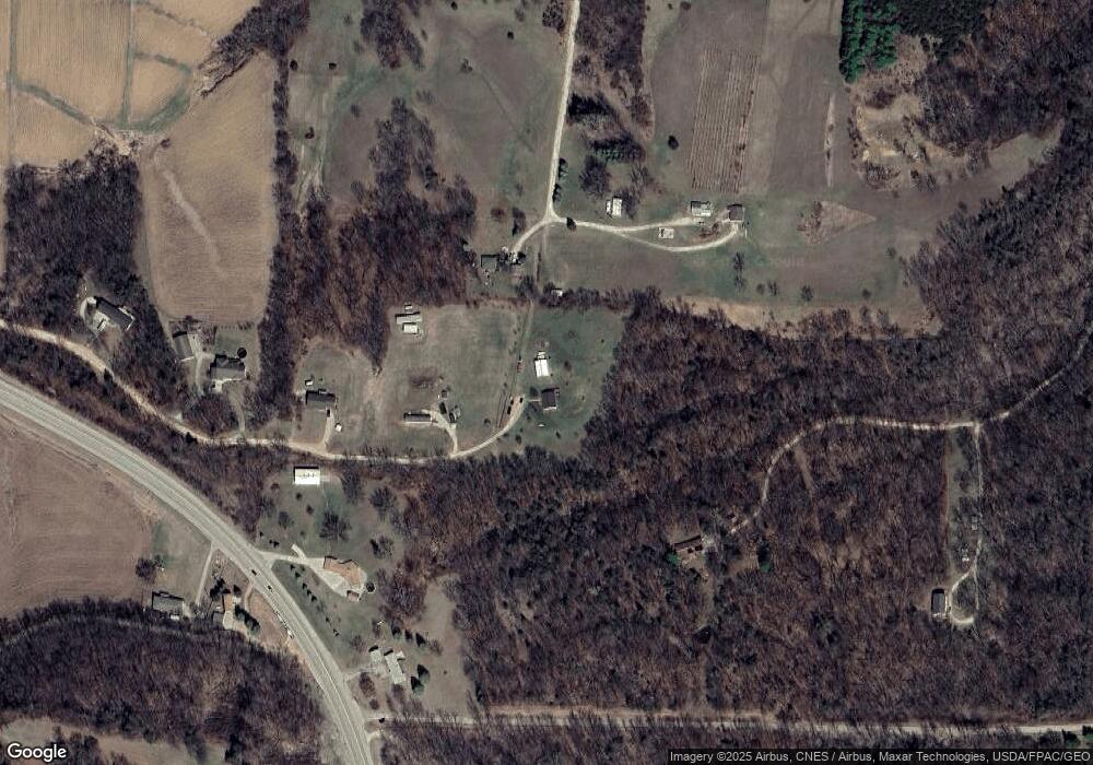
Map
Nearby Homes
- Lot 62 S Pointe Estates
- Lot 56 S Pointe Estates
- Lot 55 S Pointe Estates
- Lot 58 S Pointe Estate
- Lot 44 S Pointe Estates
- Lot 64 S Pointe Estates
- Lot 43 S Pointe Estates
- Lot 2 S Pointe
- Lot 1 S Pointe
- 7389 Olde Massey Rd
- 8224 Southern Hills Cir
- Lot 3 Raphael Dr
- 8373 Olde Davenport Rd
- 435 Kroll Rd
- 0 Olde Davenport Rd Unit 147533
- 8906 Pheasant Ln
- 4641 S Beach Ln
- 8955 Hickory Hollow Ct
- 0 Digital Dr
- 10533 Cedar Point Ct
- 6984 Olde Massey Rd
- 6792 Olde Massey Rd
- 7237 Bradel Cove Rd
- 9498 Route 52 S
- 9448 Route 52 S
- 7307 Bradel Cove Rd
- 9465 Route 52 S
- 9465 U S 52
- 9517 Route 52 S
- 7365 Bradel Cove Rd
- 6788 Olde Massey Rd
- 9257 Route 52 S
- 9257 Route 52 S
- Lot 2-12 Hickory Hollow Ct
- Lot 1-4 Cedar Crest Ct Unit Cedar Cross Business
- Lot 2 Cedar Cross Rd Unit Commercial Land
- Lot 1-4 Cedar Crest Ct Unit Industrial Land
- Lot 15 Golden Oaks Ct
- Lot 33 Uni S Pointe Dr
- Lot 42 S Pointe Estates