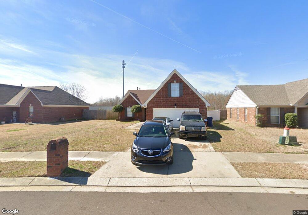
7133 Hurt Rd Unit 1 Horn Lake, MS 38637
Estimated Value: $239,000 - $253,284
3
Beds
2
Baths
1,400
Sq Ft
$174/Sq Ft
Est. Value
About This Home
This home is located at 7133 Hurt Rd Unit 1, Horn Lake, MS 38637 and is currently estimated at $243,821, approximately $174 per square foot. 7133 Hurt Rd Unit 1 is a home located in DeSoto County with nearby schools including Horn Lake Elementary School, Horn Lake Intermediate School, and Horn Lake Middle School.
Ownership History
Date
Name
Owned For
Owner Type
Purchase Details
Closed on
Oct 21, 2022
Sold by
Mckinney Tyriqrius
Bought by
Shumpert Latoya J
Current Estimated Value
Purchase Details
Closed on
Jul 29, 2020
Sold by
Memphis Wealth Builders Llc
Bought by
Mckinney Dominette L and Jones Ronnie B
Home Financials for this Owner
Home Financials are based on the most recent Mortgage that was taken out on this home.
Original Mortgage
$171,830
Interest Rate
3.1%
Mortgage Type
FHA
Purchase Details
Closed on
Apr 14, 2020
Sold by
Ortiz Jesse R and Ortiz Sylvia
Bought by
Memphis Wealth Builders Llc
Create a Home Valuation Report for This Property
The Home Valuation Report is an in-depth analysis detailing your home's value as well as a comparison with similar homes in the area
Home Values in the Area
Average Home Value in this Area
Purchase History
| Date | Buyer | Sale Price | Title Company |
|---|---|---|---|
| Shumpert Latoya J | -- | -- | |
| Mckinney Dominette L | -- | Guardian Title Llc | |
| Memphis Wealth Builders Llc | $111,949 | None Available |
Source: Public Records
Mortgage History
| Date | Status | Borrower | Loan Amount |
|---|---|---|---|
| Previous Owner | Mckinney Dominette L | $171,830 |
Source: Public Records
Tax History Compared to Growth
Tax History
| Year | Tax Paid | Tax Assessment Tax Assessment Total Assessment is a certain percentage of the fair market value that is determined by local assessors to be the total taxable value of land and additions on the property. | Land | Improvement |
|---|---|---|---|---|
| 2024 | $1,473 | $11,927 | $2,000 | $9,927 |
| 2023 | $1,473 | $11,927 | $0 | $0 |
| 2022 | $1,473 | $11,927 | $2,000 | $9,927 |
| 2021 | $1,483 | $11,995 | $2,000 | $9,995 |
| 2020 | $1,363 | $11,185 | $2,000 | $9,185 |
| 2019 | $1,363 | $11,185 | $2,000 | $9,185 |
| 2017 | $1,339 | $19,944 | $10,972 | $8,972 |
| 2016 | $1,295 | $10,972 | $2,000 | $8,972 |
| 2015 | $1,588 | $19,944 | $10,972 | $8,972 |
| 2014 | $1,295 | $10,972 | $0 | $0 |
| 2013 | $1,215 | $10,972 | $0 | $0 |
Source: Public Records
Map
Nearby Homes
- 2388 Pappy Ln
- 2655 Hillcrest Dr
- 2848 Normandy Dr
- 6670 Embassy Cir
- 7135 Hampton Dr
- 2952 Churchwell Dr
- 7088 Foxhall Dr
- 2880 Briarwood Dr
- 2919 Normandy Dr
- 7054 Foxhall Dr
- 2950 Briarwood Dr
- 3031 Caitlynn Cir S
- 7429 Perrin Ln
- 7424 Crystal Dr
- 3305 Tulane Rd W
- 6787 Chase Cove
- 1873 Merrimac Cove
- 3367 Court Dr
- 1810 Dorchester Dr
- 3350 Tulane Rd W