Estimated Value: $930,000 - $1,698,321
4
Beds
3
Baths
1,224
Sq Ft
$1,067/Sq Ft
Est. Value
About This Home
This home is located at 7137 S Sconce Rd Unit 1, Canby, OR 97013 and is currently estimated at $1,306,107, approximately $1,067 per square foot. 7137 S Sconce Rd Unit 1 is a home located in Clackamas County with nearby schools including Philander Lee Elementary School, Baker Prairie Middle School, and Canby High School.
Ownership History
Date
Name
Owned For
Owner Type
Purchase Details
Closed on
Jul 22, 2003
Sold by
Deutsche Bank Trust Co Americas
Bought by
Adovnik Terry C and Adovnik Lucynda
Current Estimated Value
Purchase Details
Closed on
Feb 17, 2003
Sold by
Arellano Maria Amelia G
Bought by
Deutsche Bank Trust Co Americas and Saxon Mortgage Services Inc
Purchase Details
Closed on
Nov 20, 2000
Sold by
Arellano Rodolfo B
Bought by
Arellano Maria Amelia G
Home Financials for this Owner
Home Financials are based on the most recent Mortgage that was taken out on this home.
Original Mortgage
$210,000
Interest Rate
7.86%
Create a Home Valuation Report for This Property
The Home Valuation Report is an in-depth analysis detailing your home's value as well as a comparison with similar homes in the area
Home Values in the Area
Average Home Value in this Area
Purchase History
| Date | Buyer | Sale Price | Title Company |
|---|---|---|---|
| Adovnik Terry C | $250,000 | First Amer Title Ins Co Of O | |
| Deutsche Bank Trust Co Americas | $233,064 | Fidelity National Title Co | |
| Arellano Maria Amelia G | -- | Chicago Title |
Source: Public Records
Mortgage History
| Date | Status | Borrower | Loan Amount |
|---|---|---|---|
| Previous Owner | Arellano Maria Amelia G | $210,000 |
Source: Public Records
Tax History Compared to Growth
Tax History
| Year | Tax Paid | Tax Assessment Tax Assessment Total Assessment is a certain percentage of the fair market value that is determined by local assessors to be the total taxable value of land and additions on the property. | Land | Improvement |
|---|---|---|---|---|
| 2024 | $7,808 | $616,874 | -- | -- |
| 2023 | $7,808 | $599,034 | $0 | $0 |
| 2022 | $7,105 | $581,712 | $0 | $0 |
| 2021 | $6,817 | $564,893 | $0 | $0 |
| 2020 | $6,727 | $548,562 | $0 | $0 |
| 2019 | $6,352 | $532,705 | $0 | $0 |
| 2018 | $6,355 | $517,310 | $0 | $0 |
| 2017 | $6,205 | $502,363 | $0 | $0 |
| 2016 | $5,989 | $487,852 | $0 | $0 |
| 2015 | $5,824 | $473,763 | $0 | $0 |
| 2014 | $5,659 | $460,086 | $0 | $0 |
Source: Public Records
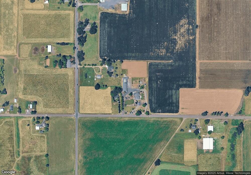
Map
Nearby Homes
- 30413 S Stuwe Rd
- 6150 S Miller Rd
- 8487 S Sconce Rd
- 8601 S Sconce Rd
- 30700 S Highway 170
- 29497 S Meridian Rd
- 9060 S Highway 211
- 29474 S Highway 170
- 17765 Monnier Rd NE
- 27200 S Barlow Rd
- 30593 S Elisha Rd
- 2995 Molalla Rd
- 8949 S Gribble Rd
- 12984 Elliott Prairie Rd NE
- 12875 Peggys Place NE
- 26882 S Bolland Rd
- 3197 Rainbow Loop Unit 10
- 14604 Woodburn Monitor Rd NE
- 3370 Maple St Unit 44
- 3370 Maple St
- 7137 S Sconce Rd
- 30882 S Barlow Rd
- 30882 Barlow Rd
- 30903 Barlow Rd
- 7320 S Sconce Rd
- 6962 Sconce Rd
- 30742 Barlow Rd
- 6877 Sconce Rd
- 30751 S Barlow Rd
- 30725 S Barlow Rd
- 31237 Bond Rd
- 31250 Bond Rd
- 30799 S Stuwe Rd
- 30921 S Stuwe Rd
- 31183 S Barlow Rd
- 30621 S Stuwe Rd
- 30570 S Barlow Rd
- 6743 Sconce Rd
- 0 S Sconce Rd
- 30700 S Stuwe Rd