714 714 Brook-Circle-w Montrose, MN 55363
Estimated Value: $300,786 - $337,000
2
Beds
1
Bath
1,092
Sq Ft
$296/Sq Ft
Est. Value
About This Home
This home is located at 714 714 Brook-Circle-w, Montrose, MN 55363 and is currently estimated at $323,697, approximately $296 per square foot. 714 714 Brook-Circle-w is a home located in Wright County with nearby schools including Montrose Elementary School, Buffalo Community Middle School, and Buffalo Senior High School.
Ownership History
Date
Name
Owned For
Owner Type
Purchase Details
Closed on
Jan 31, 2013
Sold by
Not Provided
Bought by
Stuntebeck Melissa
Current Estimated Value
Purchase Details
Closed on
Jul 28, 2008
Sold by
Aurora Loan Services Llc
Bought by
Hokenson Jered
Purchase Details
Closed on
Oct 19, 2004
Sold by
Key Land Homes
Bought by
Morris Jason D and Morris Bridget M
Create a Home Valuation Report for This Property
The Home Valuation Report is an in-depth analysis detailing your home's value as well as a comparison with similar homes in the area
Home Values in the Area
Average Home Value in this Area
Purchase History
| Date | Buyer | Sale Price | Title Company |
|---|---|---|---|
| Stuntebeck Melissa | $139,400 | -- | |
| Hokenson Jered | $138,500 | -- | |
| Morris Jason D | $201,450 | -- | |
| Key Land Homes | $39,900 | -- |
Source: Public Records
Tax History Compared to Growth
Tax History
| Year | Tax Paid | Tax Assessment Tax Assessment Total Assessment is a certain percentage of the fair market value that is determined by local assessors to be the total taxable value of land and additions on the property. | Land | Improvement |
|---|---|---|---|---|
| 2025 | $3,490 | $283,900 | $67,000 | $216,900 |
| 2024 | $3,250 | $285,000 | $77,000 | $208,000 |
| 2023 | $3,164 | $290,500 | $77,000 | $213,500 |
| 2022 | $2,978 | $261,600 | $69,000 | $192,600 |
| 2021 | $2,992 | $214,300 | $35,000 | $179,300 |
| 2020 | $2,924 | $210,400 | $35,000 | $175,400 |
| 2019 | $2,536 | $202,400 | $0 | $0 |
| 2018 | $2,298 | $163,500 | $0 | $0 |
| 2017 | $2,072 | $148,900 | $0 | $0 |
| 2016 | $1,970 | $0 | $0 | $0 |
| 2015 | $1,852 | $0 | $0 | $0 |
| 2014 | -- | $0 | $0 | $0 |
Source: Public Records
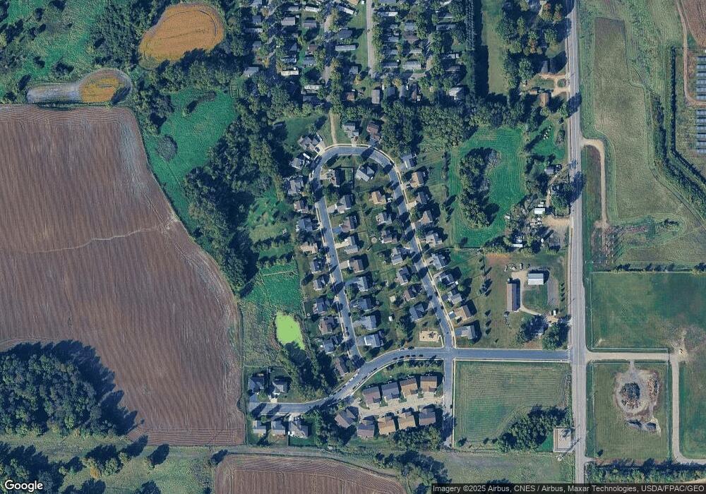
Map
Nearby Homes
- 301 Center Ave S
- 305 Garfield Ave S
- 517 2nd St S
- 1766 US Highway 12 SW
- 150 Pheasant Ridge Dr
- 161 Mindy Ln Unit 9
- 137 Pheasant Ridge Dr
- 149 Mindy Ln
- 140 Garner Cir
- 426 Dillon Ave N
- 151 Garner Cir
- 610 Emerson Ave N
- 2113 Birch Ln
- 2010 Apple Ln
- 2008 Apple Ln
- 2105 Birch Ln
- 2002 Apple Ln
- 683 Aspen Ln
- 684 Aspen Ln
- 685 Aspen Ln
- 714 Brook Cir W
- 712 Brook Cir W
- 716 Brook Cir W
- 739 Brook Cir E
- 741 Brook Cir E
- 710 Brook Cir W
- 718 Brook Cir W
- 713 Brook Cir W
- 715 Brook Cir W
- 735 Brook Cir E
- 711 Brook Cir W
- 743 Brook Cir E
- 708 Brook Cir W
- 708 708 Brook-Circle-w
- 719 Brook Cir W
- 709 Brook Cir W
- 733 Brook Cir E
- 720 Brook Cir W
- 745 Brook Cir E
- 717 Brook Cir W