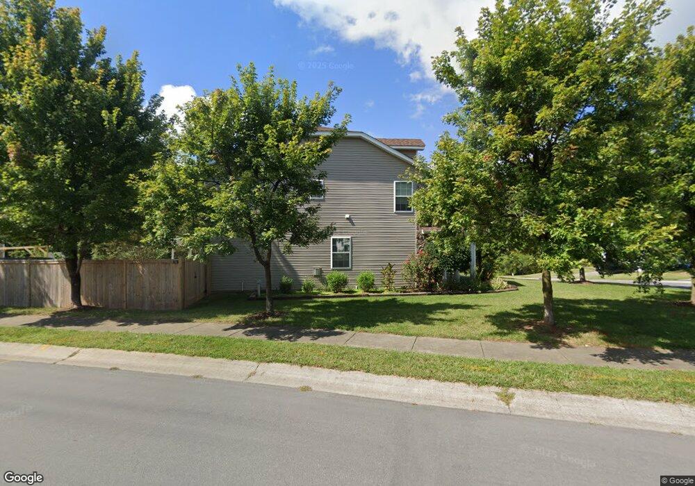
714 Ashburn Ln Durham, NC 27703
Eastern Durham NeighborhoodEstimated Value: $397,000 - $425,870
About This Home
This home is located at 714 Ashburn Ln, Durham, NC 27703 and is currently estimated at $412,968, approximately $189 per square foot. 714 Ashburn Ln is a home located in Durham County with nearby schools including Spring Valley Elementary School, John W Neal Middle School, and Southern School of Energy & Sustainability.
Ownership History
We collect this data history from publicly available records. To have your information removed, we recommend requesting removal directly through your county’s website.
Purchase Details
Home Financials for this Owner
Home Financials are based on the most recent Mortgage that was taken out on this home.Purchase Details
Home Financials for this Owner
Home Financials are based on the most recent Mortgage that was taken out on this home.Purchase Details
Home Financials for this Owner
Home Financials are based on the most recent Mortgage that was taken out on this home.Home Values in the Area
Average Home Value in this Area
Purchase History
We collect this data history from publicly available records. To have your information removed, we recommend requesting removal directly through your county’s website.
| Date | Buyer | Sale Price | Title Company |
|---|---|---|---|
| $249,500 | None Available | ||
| $193,000 | None Available | ||
| $213,000 | None Available |
Mortgage History
We collect this data history from publicly available records. To have your information removed, we recommend requesting removal directly through your county’s website.
| Date | Status | Borrower | Loan Amount |
|---|---|---|---|
| Open | $250,000 | ||
| Previous Owner | $197,149 | ||
| Previous Owner | $210,809 |
Tax History
We collect this data history from publicly available records. To have your information removed, we recommend requesting removal directly through your county’s website.
| Year | Tax Paid | Tax Assessment Tax Assessment Total Assessment is a certain percentage of the fair market value that is determined by local assessors to be the total taxable value of land and additions on the property. | Land | Improvement |
|---|---|---|---|---|
| 2025 | $4,463 | $450,183 | $107,625 | $342,558 |
| 2024 | $3,234 | $231,876 | $49,240 | $182,636 |
| 2023 | $3,037 | $231,876 | $49,240 | $182,636 |
| 2022 | $2,968 | $231,876 | $49,240 | $182,636 |
| 2021 | $2,954 | $231,876 | $49,240 | $182,636 |
| 2020 | $2,884 | $231,876 | $49,240 | $182,636 |
| 2019 | $2,825 | $227,130 | $49,240 | $177,890 |
| 2018 | $2,656 | $195,782 | $36,930 | $158,852 |
| 2017 | $2,636 | $195,782 | $36,930 | $158,852 |
| 2016 | $2,547 | $195,782 | $36,930 | $158,852 |
| 2015 | $2,765 | $199,718 | $42,928 | $156,790 |
| 2014 | $2,765 | $199,718 | $42,928 | $156,790 |
Map
- 203 Rondelay Dr
- 637 Conover Rd Unit B
- 639 Conover Rd Unit B
- 635 Conover Rd Unit B
- 6 Spicewood Ct
- 10 Wild Sage Way
- 205 Wellwater Ave
- 208 Wellwater Ave
- 219 Hillview Dr
- 506 Hillview Dr
- 607 Ravenstone Ln
- 508 Ashburn Ln
- 307 Asbury Ct
- 2024 Bunchberry Ln
- 2007 Rockface Way
- 636 Hiddenbrook Dr
- 508 Ravenstone Ln
- 2113 Rockface Way
- 618 Starry Sky Dr
- 1048 Arbor Edge Ln
- 712 Ashburn Ln
- 306 Rondelay Dr
- 305 Rondelay Dr
- 308 Rondelay Dr
- 715 Ashburn Ln
- 713 Ashburn Ln
- 303 Rondelay Dr
- 211 Rondelay Dr
- 711 Ashburn Ln
- 307 Rondelay Dr
- 209 Rondelay Dr
- 310 Rondelay Dr
- 207 Rondelay Dr
- 312 Rondelay Rd
- 313 Rondelay Dr
- 312 Rondelay Dr
- 311 Rondelay Dr
- 720 Weathervane Dr
- 722 Weathervane Dr
- 205 Rondelay Dr
Ask me questions while you tour the home.