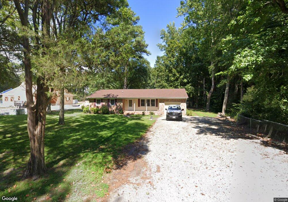
714 Burning Tree Cir Salisbury, MD 21801
South Salisbury NeighborhoodEstimated Value: $346,201 - $505,000
Studio
2
Baths
2,654
Sq Ft
$158/Sq Ft
Est. Value
About This Home
This home is located at 714 Burning Tree Cir, Salisbury, MD 21801 and is currently estimated at $419,550, approximately $158 per square foot. 714 Burning Tree Cir is a home located in Wicomico County with nearby schools including Fruitland Primary School, Fruitland Intermediate School, and Bennett Middle School.
Ownership History
Date
Name
Owned For
Owner Type
Purchase Details
Closed on
May 22, 1998
Sold by
Anderson William F
Bought by
Anderson Eva K and Trustees
Current Estimated Value
Purchase Details
Closed on
Jun 6, 1988
Sold by
Bayshore Builders Corp
Bought by
Anderson William F and Anderson Eva K
Home Financials for this Owner
Home Financials are based on the most recent Mortgage that was taken out on this home.
Original Mortgage
$100,000
Interest Rate
10.58%
Create a Home Valuation Report for This Property
The Home Valuation Report is an in-depth analysis detailing your home's value as well as a comparison with similar homes in the area
Home Values in the Area
Average Home Value in this Area
Purchase History
| Date | Buyer | Sale Price | Title Company |
|---|---|---|---|
| Anderson Eva K | -- | -- | |
| Anderson William F | $181,300 | -- |
Source: Public Records
Mortgage History
| Date | Status | Borrower | Loan Amount |
|---|---|---|---|
| Previous Owner | Anderson William F | $100,000 |
Source: Public Records
Tax History
| Year | Tax Paid | Tax Assessment Tax Assessment Total Assessment is a certain percentage of the fair market value that is determined by local assessors to be the total taxable value of land and additions on the property. | Land | Improvement |
|---|---|---|---|---|
| 2025 | $2,273 | $248,767 | $0 | $0 |
| 2024 | $2,222 | $231,700 | $42,000 | $189,700 |
| 2023 | $2,202 | $222,733 | $0 | $0 |
| 2022 | $2,178 | $213,767 | $0 | $0 |
| 2021 | $2,086 | $204,800 | $42,000 | $162,800 |
| 2020 | $2,078 | $201,500 | $0 | $0 |
| 2019 | $2,074 | $198,200 | $0 | $0 |
| 2018 | $2,050 | $194,900 | $42,000 | $152,900 |
| 2017 | $2,050 | $194,900 | $0 | $0 |
| 2016 | -- | $194,900 | $0 | $0 |
| 2015 | $2,304 | $230,400 | $0 | $0 |
| 2014 | $2,304 | $230,400 | $0 | $0 |
Source: Public Records
Map
Nearby Homes
- 820, 824 & 828 Shad Point Rd
- 28272 Riverside Dr
- Lot 12 Holly Hill Ct
- 5464 Cherry Hill Ln
- 129 Holly Hill Ct
- 124 Holly Hill Ct
- 709 Grason Ln
- 608 W Main St
- 512 Sheldon Ave
- 507 W Main St
- 518 Clyde Ave
- 113 Tall Timber Ln
- 502 Indian Ln
- 502 Clyde Ave
- 404 Sheldon Ave
- 104 Walden Dr
- 1124 Riverside Dr
- 108 S Camden Ave
- 1704 Camden Ave
- 1545 Anchors Way
- 839 Shad Point Rd
- 843 Shad Point Rd
- 832 Shad Point Rd
- 847 Shad Point Rd
- 715 Burning Tree Cir
- 717 Burning Tree Cir
- 847 W Main St
- 713 Burning Tree Cir
- 849 Shad Point Rd
- 711 Burning Tree Cir
- 852 Shad Point Rd
- 839 W Main St
- 721 Burning Tree Cir
- 712 Burning Tree Cir
- 1735 Riverside Dr
- 1733 Riverside Dr
- 1731 Riverside Dr
- 1727 Riverside Dr
- 0 Shad Point Rd
- 710 Burning Tree Cir
Your Personal Tour Guide
Ask me questions while you tour the home.