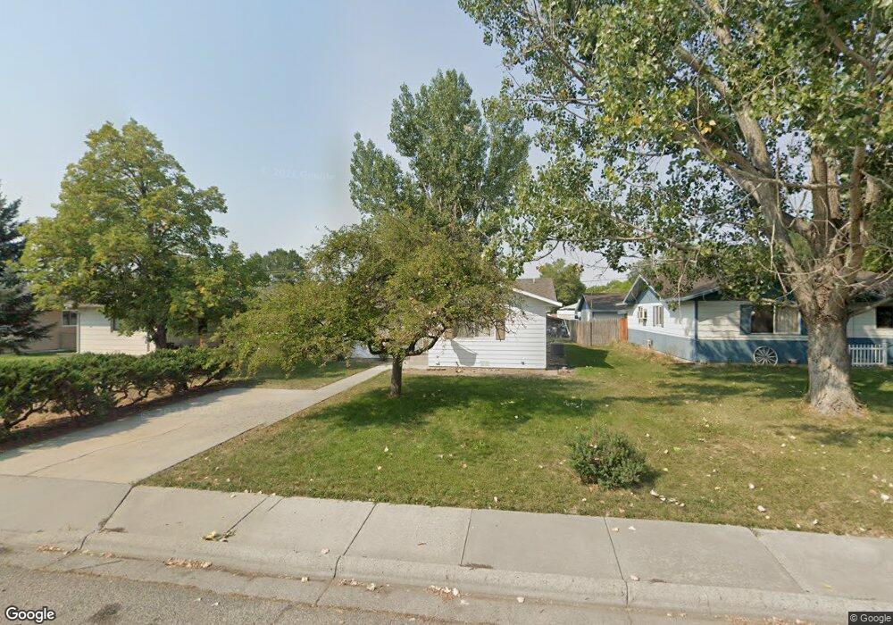
714 Locust Ave Laurel, MT 59044
Estimated Value: $241,000 - $273,430
3
Beds
1
Bath
1,105
Sq Ft
$233/Sq Ft
Est. Value
About This Home
This home is located at 714 Locust Ave, Laurel, MT 59044 and is currently estimated at $257,108, approximately $232 per square foot. 714 Locust Ave is a home located in Yellowstone County with nearby schools including Fred W. Graff School, West School, and Laurel Middle School.
Ownership History
Date
Name
Owned For
Owner Type
Purchase Details
Closed on
Jan 5, 2016
Sold by
Barclay Timothy S and Barclay Julie K
Bought by
Schmierer Darrell S
Current Estimated Value
Home Financials for this Owner
Home Financials are based on the most recent Mortgage that was taken out on this home.
Original Mortgage
$152,203
Outstanding Balance
$120,892
Interest Rate
3.92%
Mortgage Type
VA
Estimated Equity
$136,216
Purchase Details
Closed on
Jul 21, 2011
Sold by
Barclay Donald Ll and Barclay Wanda L
Bought by
Barclay Timothy S and Barclay Julie K
Create a Home Valuation Report for This Property
The Home Valuation Report is an in-depth analysis detailing your home's value as well as a comparison with similar homes in the area
Home Values in the Area
Average Home Value in this Area
Purchase History
| Date | Buyer | Sale Price | Title Company |
|---|---|---|---|
| Schmierer Darrell S | -- | First Montana Title | |
| Barclay Timothy S | -- | St |
Source: Public Records
Mortgage History
| Date | Status | Borrower | Loan Amount |
|---|---|---|---|
| Open | Schmierer Darrell S | $152,203 |
Source: Public Records
Tax History
| Year | Tax Paid | Tax Assessment Tax Assessment Total Assessment is a certain percentage of the fair market value that is determined by local assessors to be the total taxable value of land and additions on the property. | Land | Improvement |
|---|---|---|---|---|
| 2025 | $1,876 | $235,700 | $56,449 | $179,251 |
| 2024 | $1,876 | $187,600 | $36,672 | $150,928 |
| 2023 | $1,732 | $187,600 | $36,672 | $150,928 |
| 2022 | $1,296 | $155,300 | $0 | $0 |
| 2021 | $1,533 | $155,300 | $0 | $0 |
| 2020 | $1,440 | $142,100 | $0 | $0 |
| 2019 | $1,436 | $142,100 | $0 | $0 |
| 2018 | $1,522 | $147,000 | $0 | $0 |
| 2017 | $1,251 | $147,000 | $0 | $0 |
| 2016 | $1,332 | $139,800 | $0 | $0 |
| 2015 | $1,316 | $139,800 | $0 | $0 |
| 2014 | $1,116 | $61,161 | $0 | $0 |
Source: Public Records
Map
Nearby Homes
- 1108 E 8th St
- 1104 E 8th St
- 605 Date Ave
- 1031 Fir Ave
- 1321 E Railroad St
- 717 E 5th, 506 Alder Ave
- 801 E 4th St
- 717 E 5th St
- 601 E 5th St
- 414 Wyoming Ave
- 809 Pennsylvania Ave
- 516 Pennsylvania Ave
- 110 E 5th St
- 1665 Wild Lupine Ln
- 603 5th Ave
- 1319 Valley Dr
- 116 4th Ave
- 409 Maple Ave
- 319 6th Ave
- 211 Woodland Ave
- 710 Locust Ave
- 718 Locust Ave
- 722 Locust Ave
- 706 Locust Ave
- 702 Locust Ave
- 715 Juniper Ave
- 719 Juniper Ave
- 711 Juniper Ave
- 723 Juniper Ave
- 707 Juniper Ave
- 715 Locust Ave
- 703 Juniper Ave
- 711 Locust Ave
- 719 Locust Ave
- 707 Locust Ave
- 723 Locust Ave
- 1513 E 8th St
- 703 Locust Ave
- 628 Locust Ave
- 1603 E 8th St
Your Personal Tour Guide
Ask me questions while you tour the home.