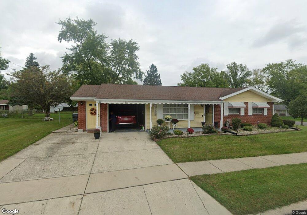
714 Mackenzie Dr Lima, OH 45805
Westgate NeighborhoodEstimated Value: $134,000 - $160,000
3
Beds
2
Baths
1,316
Sq Ft
$114/Sq Ft
Est. Value
About This Home
This home is located at 714 Mackenzie Dr, Lima, OH 45805 and is currently estimated at $150,438, approximately $114 per square foot. 714 Mackenzie Dr is a home located in Allen County with nearby schools including Heritage Elementary School, Lima West Middle School, and Lima North Middle School.
Ownership History
Date
Name
Owned For
Owner Type
Purchase Details
Closed on
Feb 7, 2018
Sold by
Alford Leola
Bought by
Alford Willie James and Humphrey Alice
Current Estimated Value
Purchase Details
Closed on
Sep 18, 2000
Sold by
Perrine Anthony J
Bought by
Alford Leola
Home Financials for this Owner
Home Financials are based on the most recent Mortgage that was taken out on this home.
Original Mortgage
$64,550
Outstanding Balance
$23,593
Interest Rate
8.14%
Mortgage Type
New Conventional
Estimated Equity
$126,845
Purchase Details
Closed on
Jun 4, 1999
Sold by
Harris Elaine M
Bought by
Perrine Anthony J and Perrine Sylvia R
Home Financials for this Owner
Home Financials are based on the most recent Mortgage that was taken out on this home.
Original Mortgage
$35,050
Interest Rate
7%
Mortgage Type
New Conventional
Purchase Details
Closed on
Aug 1, 1981
Bought by
Harris Elaine M
Create a Home Valuation Report for This Property
The Home Valuation Report is an in-depth analysis detailing your home's value as well as a comparison with similar homes in the area
Home Values in the Area
Average Home Value in this Area
Purchase History
| Date | Buyer | Sale Price | Title Company |
|---|---|---|---|
| Alford Willie James | -- | None Available | |
| Alford Leola | $67,950 | -- | |
| Perrine Anthony J | $33,500 | -- | |
| Harris Elaine M | -- | -- |
Source: Public Records
Mortgage History
| Date | Status | Borrower | Loan Amount |
|---|---|---|---|
| Open | Alford Leola | $64,550 | |
| Previous Owner | Perrine Anthony J | $35,050 |
Source: Public Records
Tax History
| Year | Tax Paid | Tax Assessment Tax Assessment Total Assessment is a certain percentage of the fair market value that is determined by local assessors to be the total taxable value of land and additions on the property. | Land | Improvement |
|---|---|---|---|---|
| 2024 | $1,122 | $40,500 | $6,720 | $33,780 |
| 2023 | $867 | $29,340 | $4,870 | $24,470 |
| 2022 | $888 | $29,340 | $4,870 | $24,470 |
| 2021 | $937 | $29,340 | $4,870 | $24,470 |
| 2020 | $832 | $24,820 | $4,660 | $20,160 |
| 2019 | $832 | $24,820 | $4,660 | $20,160 |
| 2018 | $803 | $24,820 | $4,660 | $20,160 |
| 2017 | $791 | $23,880 | $4,660 | $19,220 |
| 2016 | $1,216 | $23,880 | $4,660 | $19,220 |
| 2015 | $1,177 | $23,880 | $4,660 | $19,220 |
| 2014 | $1,177 | $22,790 | $4,940 | $17,850 |
| 2013 | $1,145 | $22,790 | $4,940 | $17,850 |
Source: Public Records
Map
Nearby Homes
- 1753 Leland Ave
- 1605 Hazel Ave
- 1600 Leland Ave
- 3 Poulston Place
- 705 Cornell Dr
- 1607 W Wayne St
- 1407 Latham Ave
- 1918 Oakland Pkwy
- 1716 Oakland Pkwy
- 1517 Allentown Rd
- 102 Charwood Dr
- 1245 Latham Ave
- 1541 Oakland Pkwy
- 1508 Oakland Pkwy
- 275 N Dale Dr
- 1015 N Cole St
- 1209 Rice Ave
- 0 Latham
- 1160 Richie Ave
- 2201 W High St
- 718 Mackenzie Dr
- 809 Crestwood Dr
- 713 Mackenzie Dr
- 709 Mackenzie Dr
- 722 Mackenzie Dr
- 717 Mackenzie Dr
- 705 Mackenzie Dr
- 1707 Latham Ave
- 804 Crestwood Dr
- 800 Crestwood Dr
- 721 Mackenzie Dr
- 726 Mackenzie Dr
- 808 Crestwood Dr
- 1703 Latham Ave
- 1711 Latham Ave
- 812 Crestwood Dr
- 1714 Leland Ave
- 710 Mackenzie Dr
- 1718 Leland Ave
Your Personal Tour Guide
Ask me questions while you tour the home.